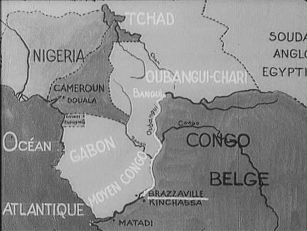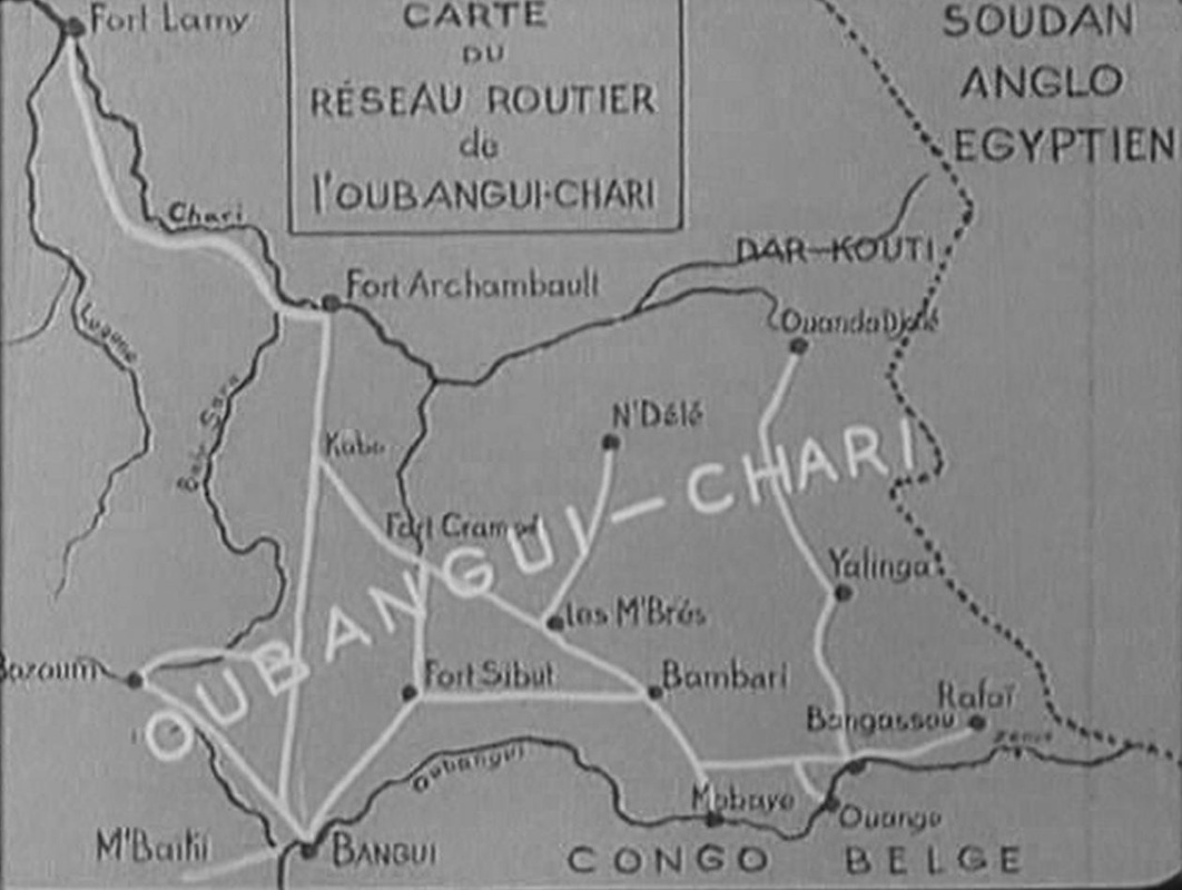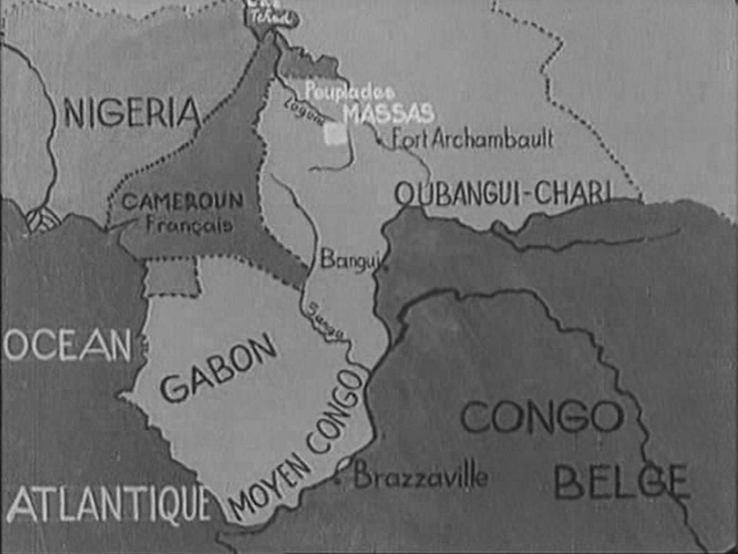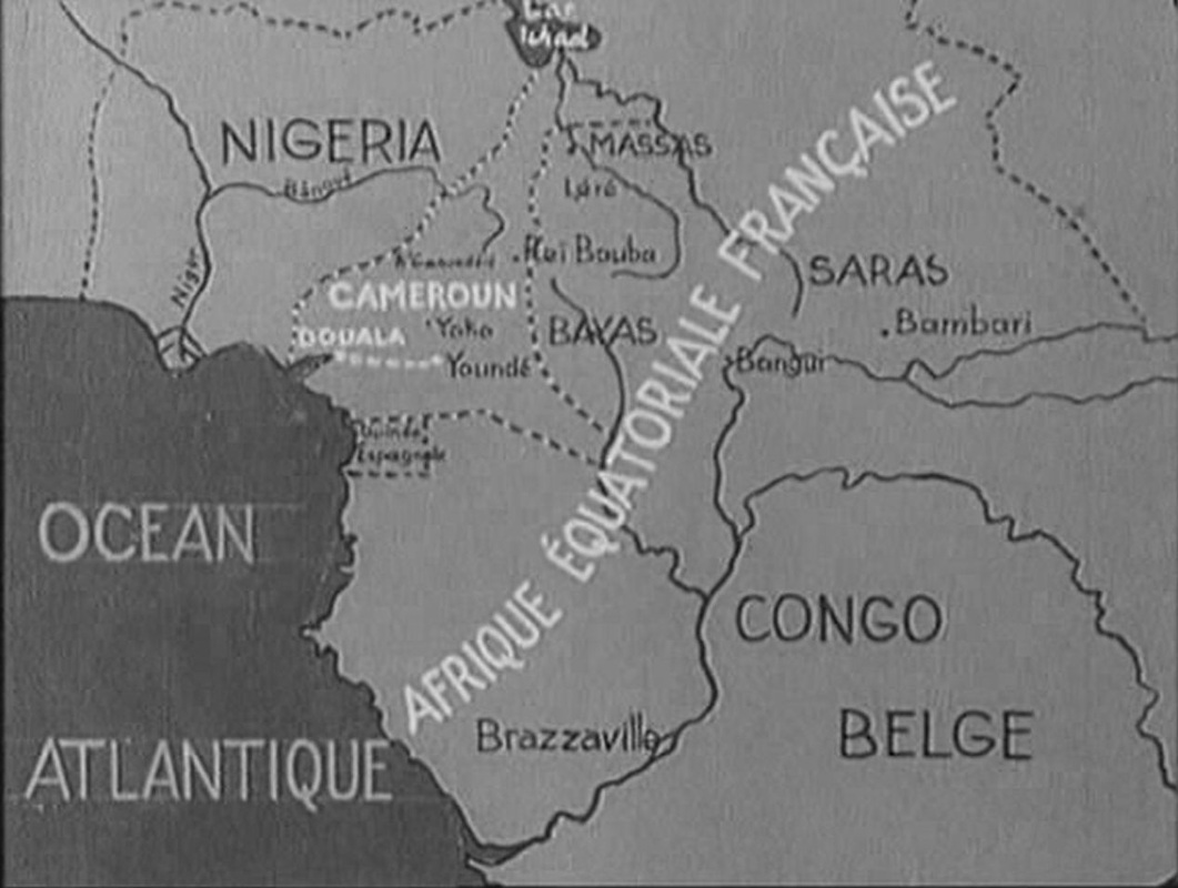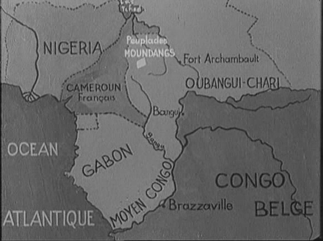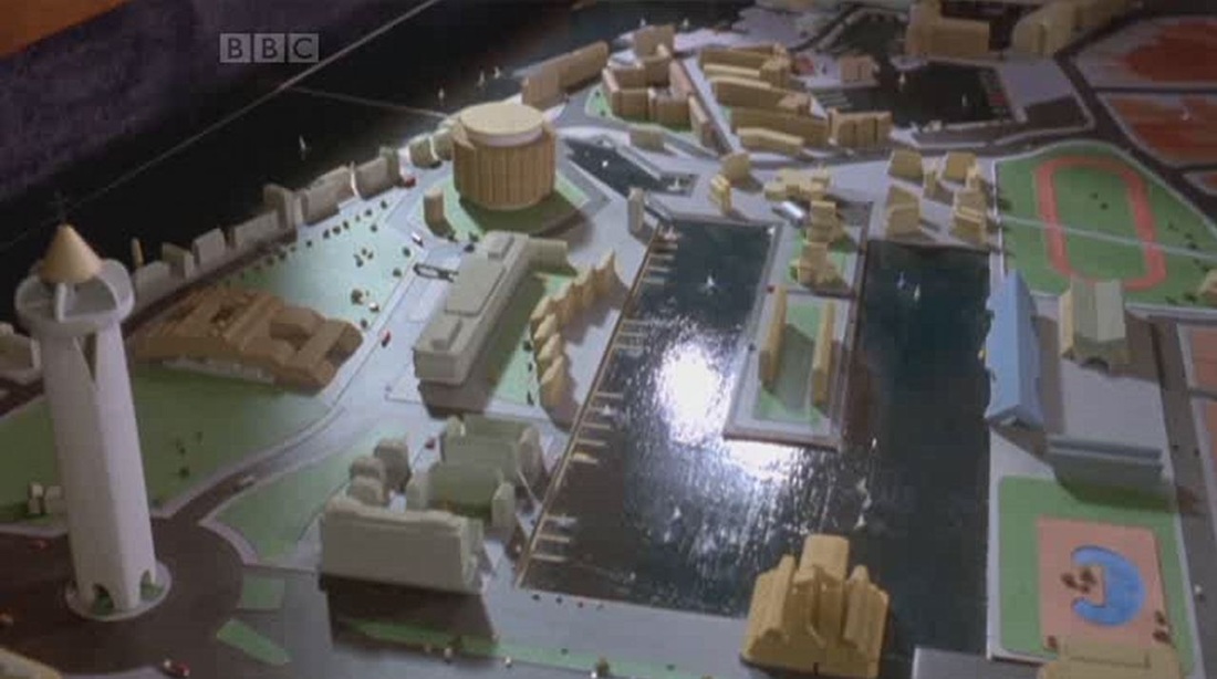


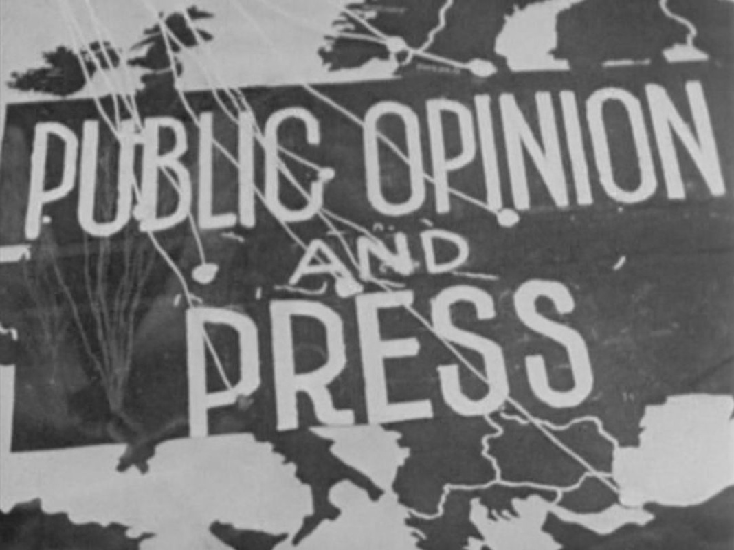
|
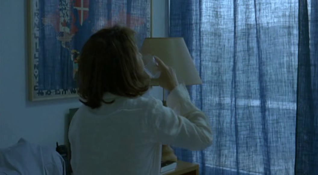
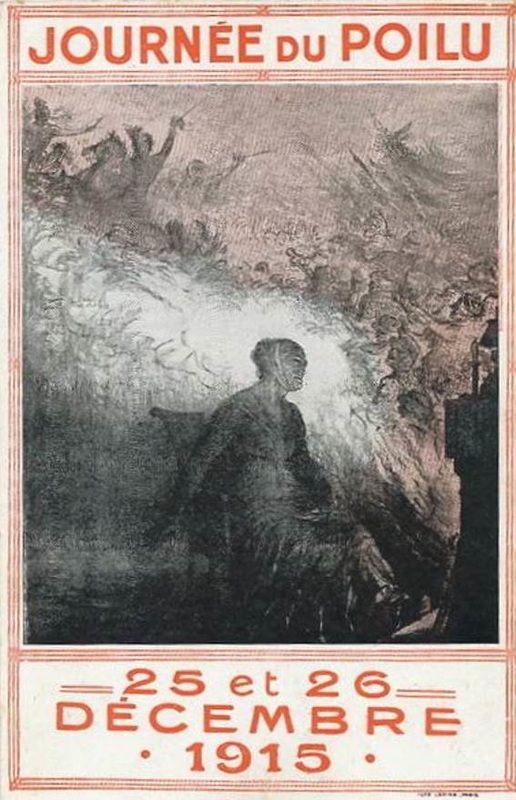
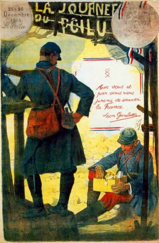
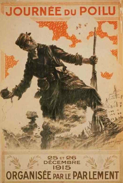
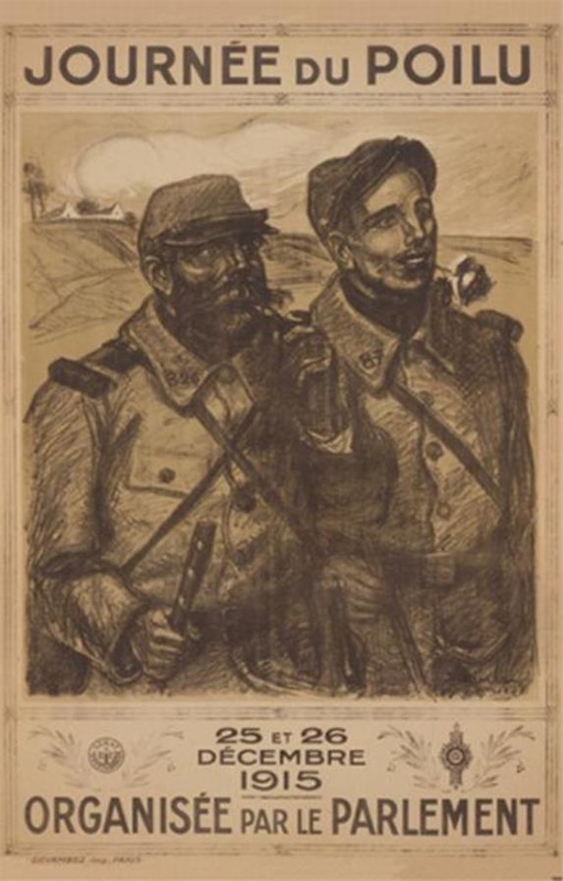
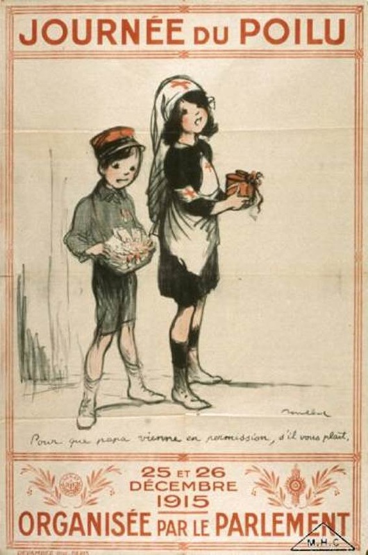
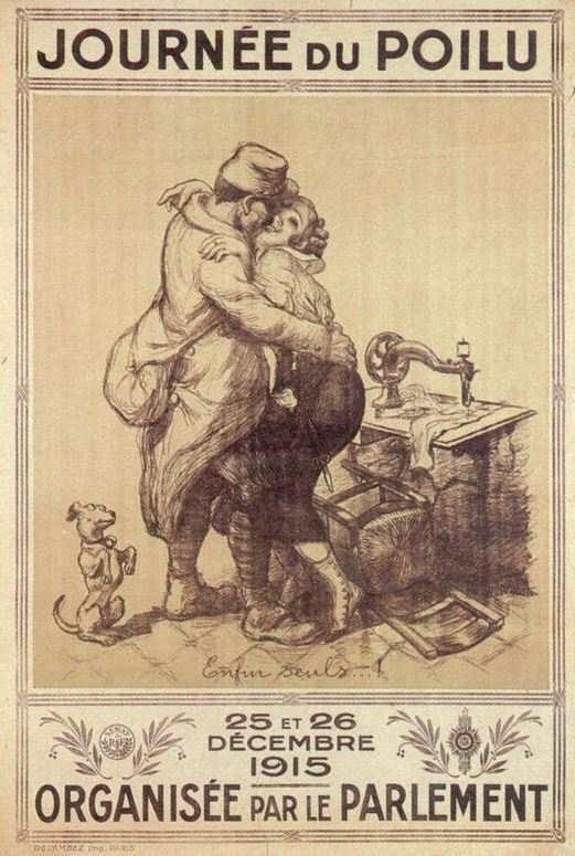
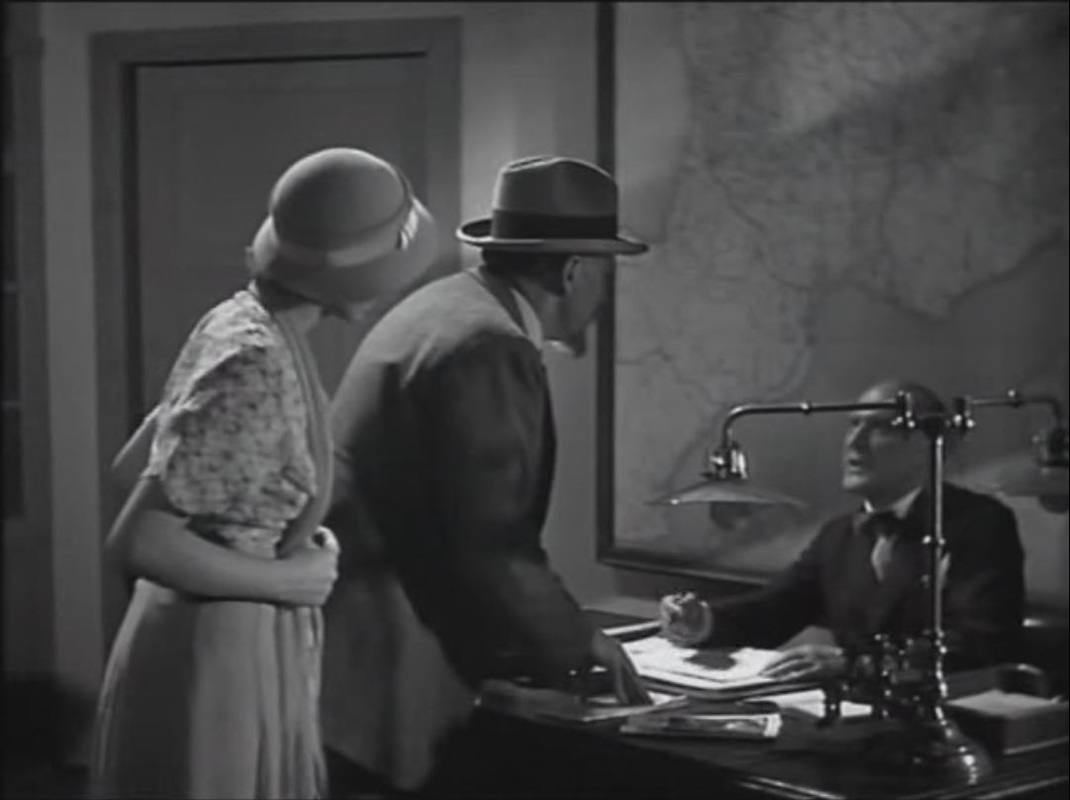
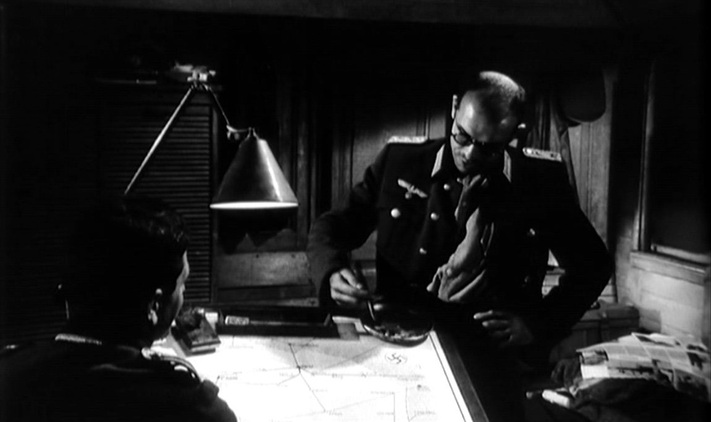
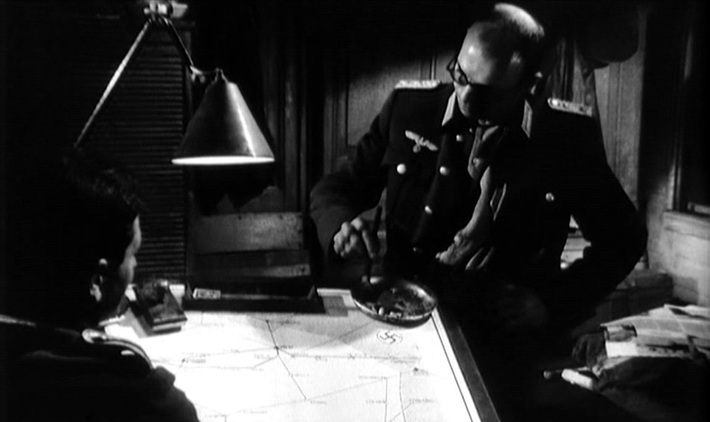
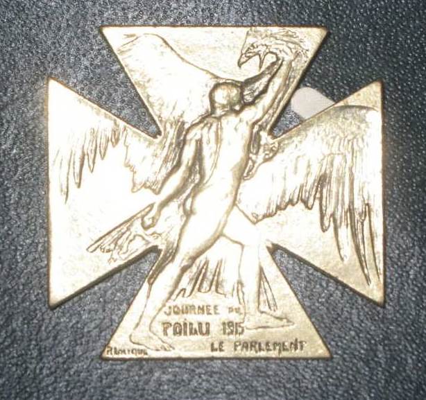
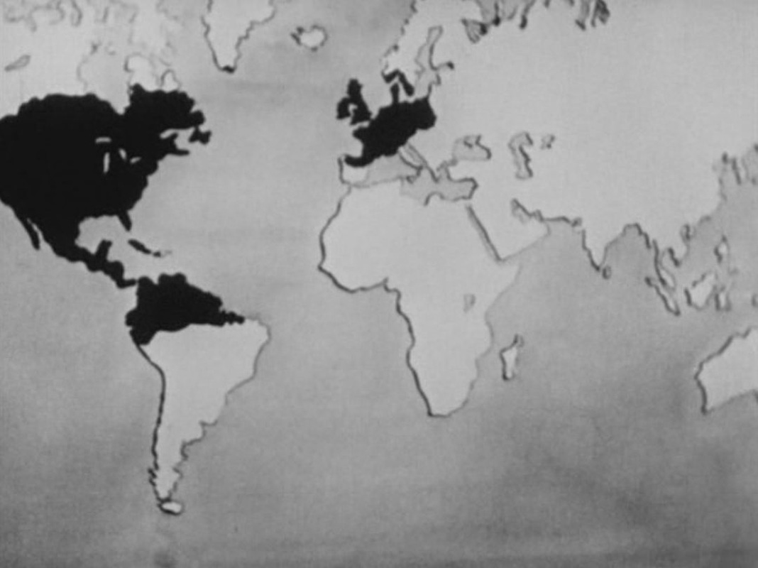
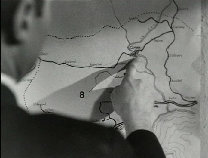
The second of the film's two map moments shows an officer at the Front, considering the military situation: 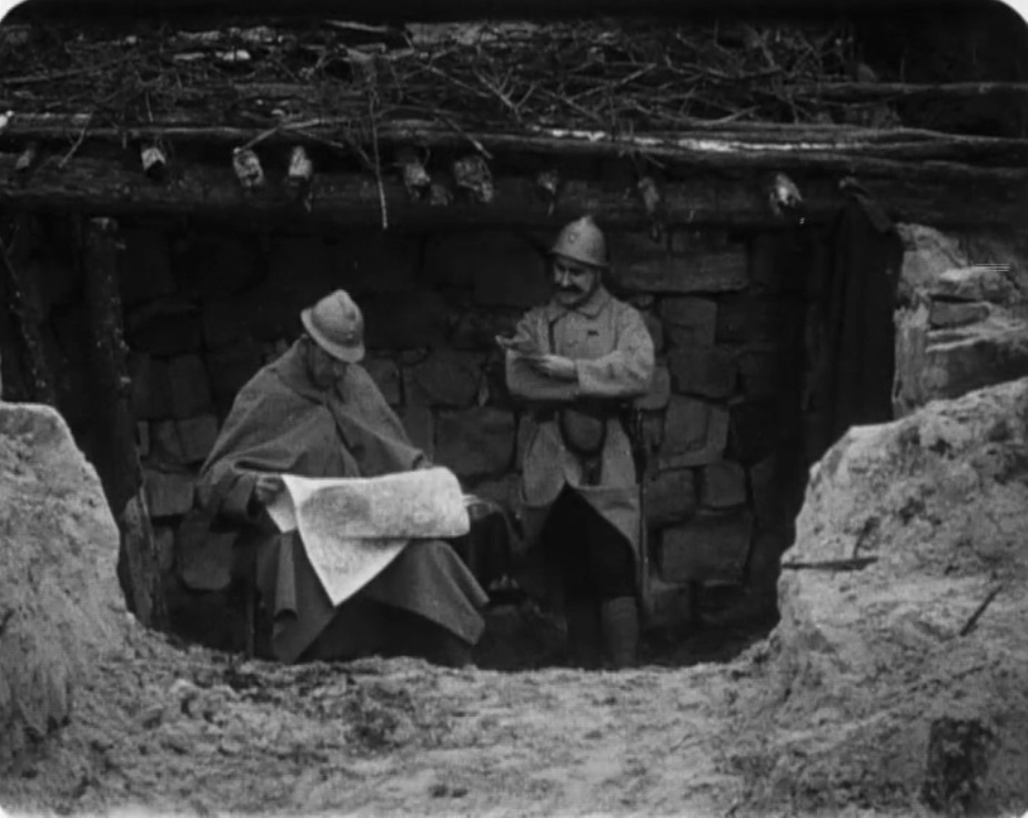 Earlier, in occupied territory, a soldier's wife points out to their daughter where the Front is, and where her father might be: 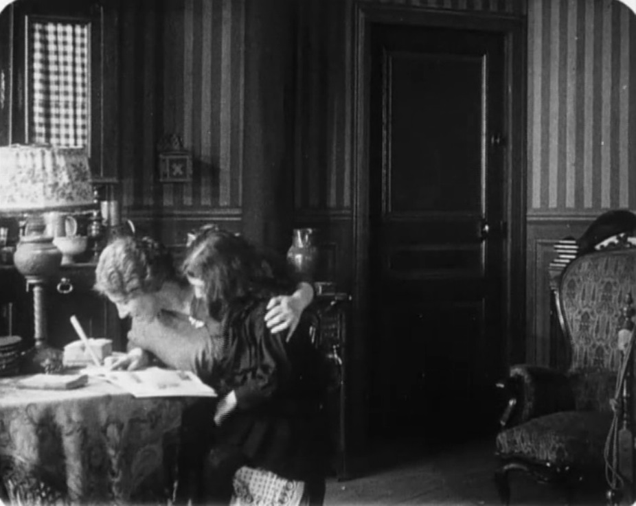 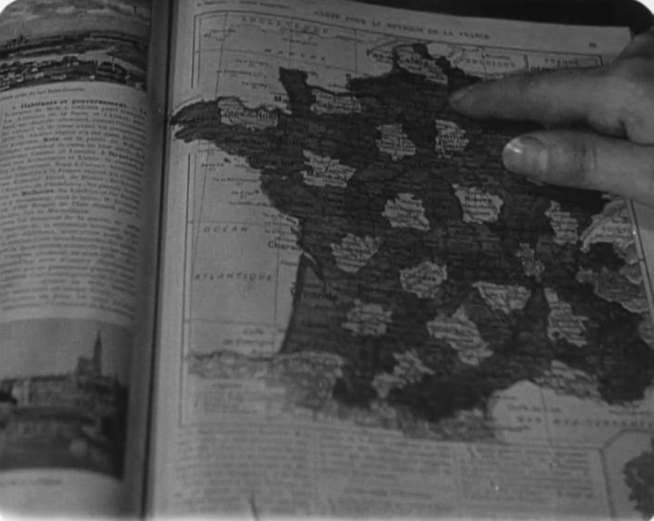 (See here for other map moments from the 1914-1918 war.) 100 years ago, the French parliament organised two days of fund-raising across France for the benefit of soldiers at the Front. Artists were commissioned to design posters and medals for sale or auction. Special events were organised, including film screenings. See here for various documents related to the journée. Feuillade's film shows the surprise reunion of a soldier with his wife and daughter at precisely this time, Christmas 1915. Without relating specifically to the journée, the film embodies the spirit of such enterprises. 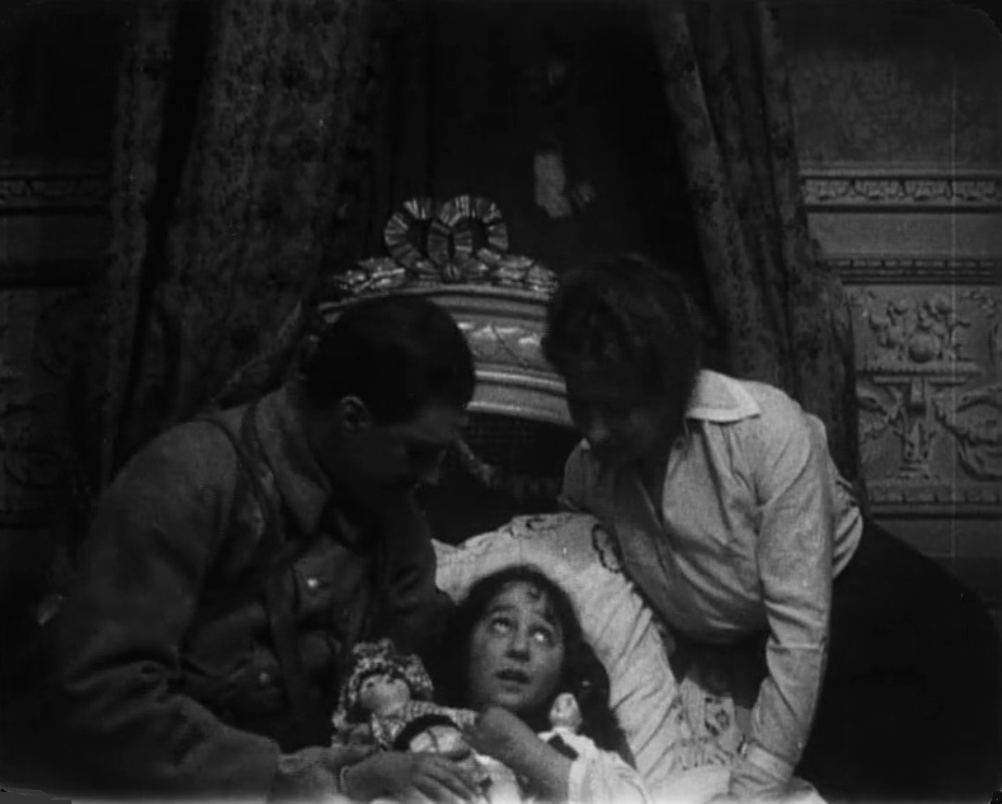
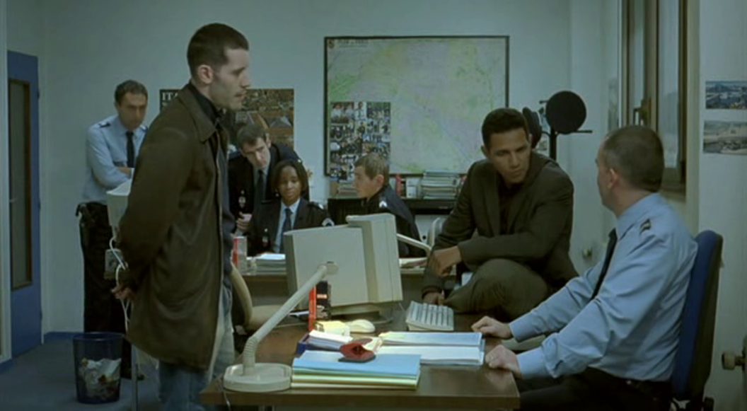
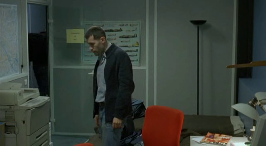
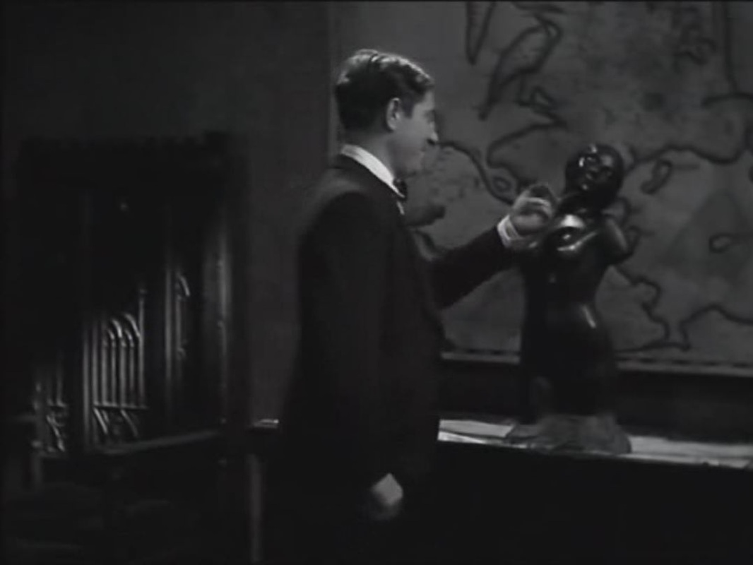
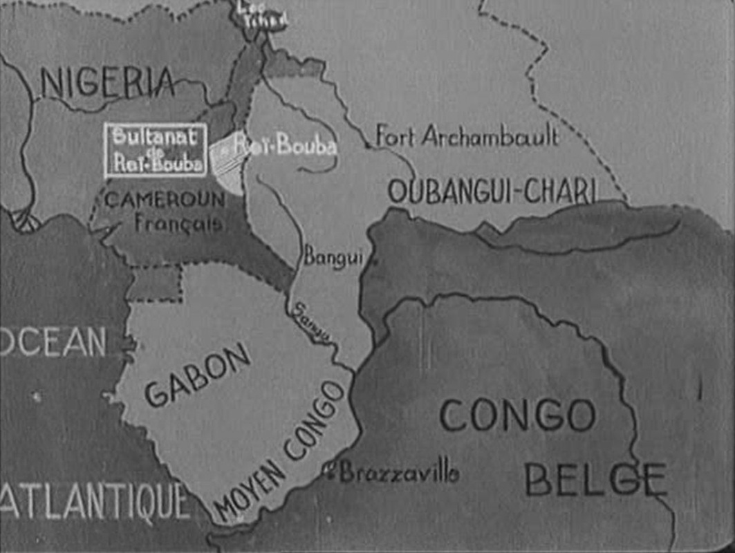
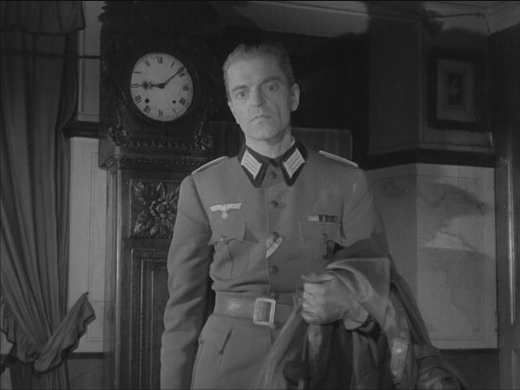
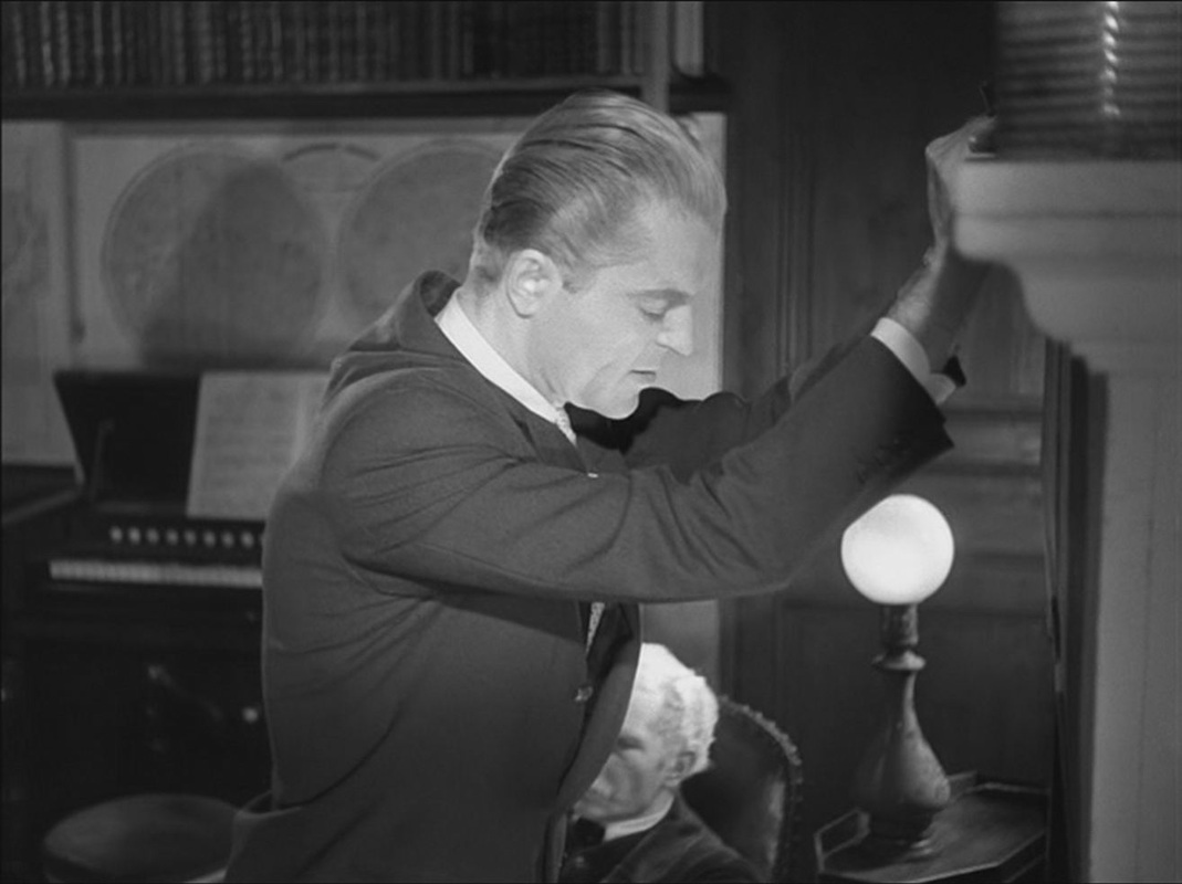
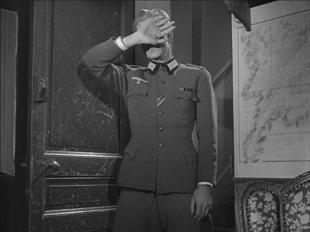
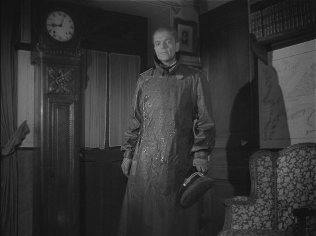
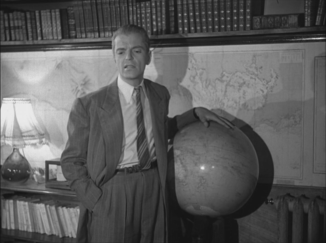
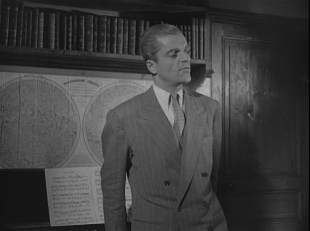
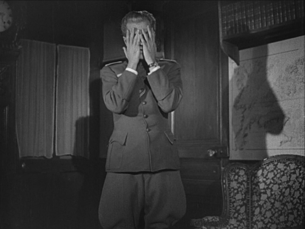
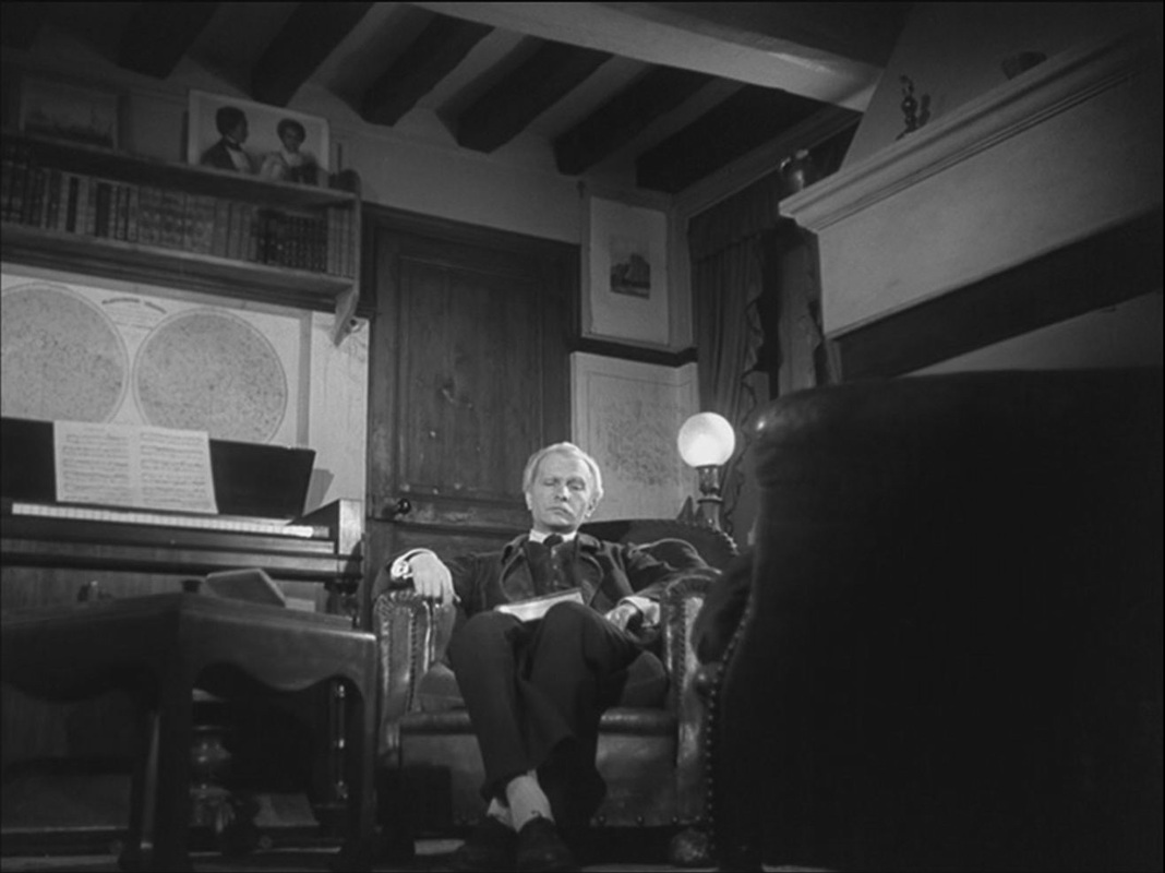
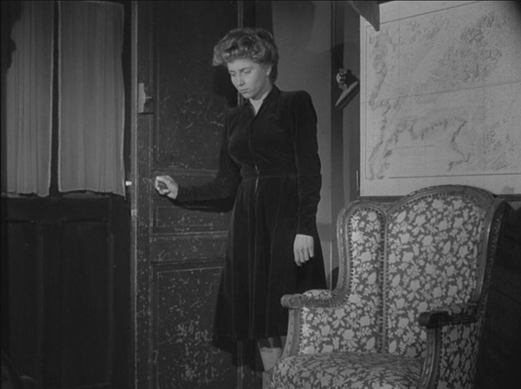
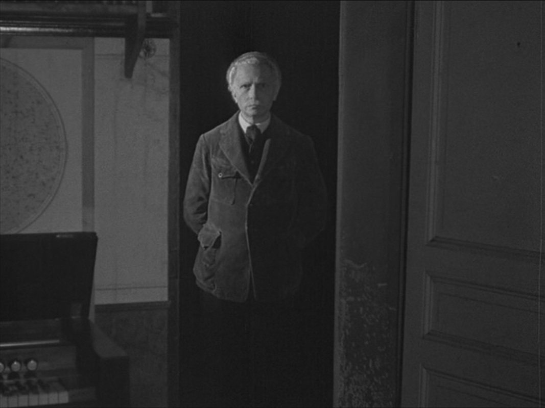
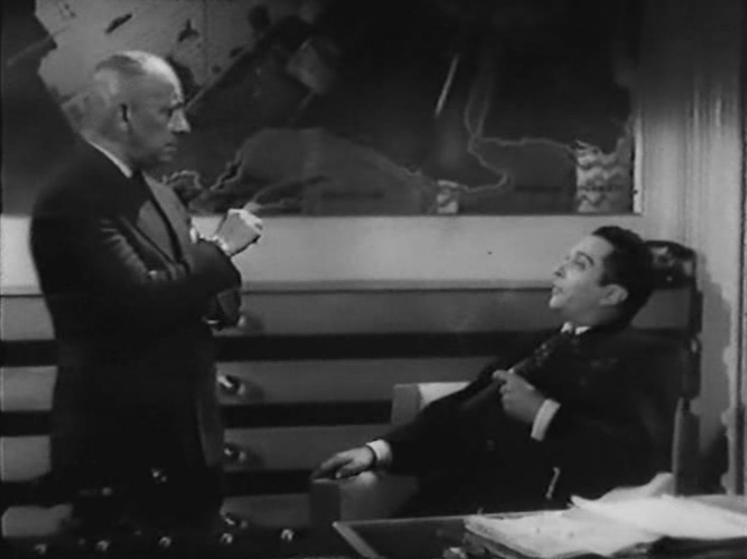
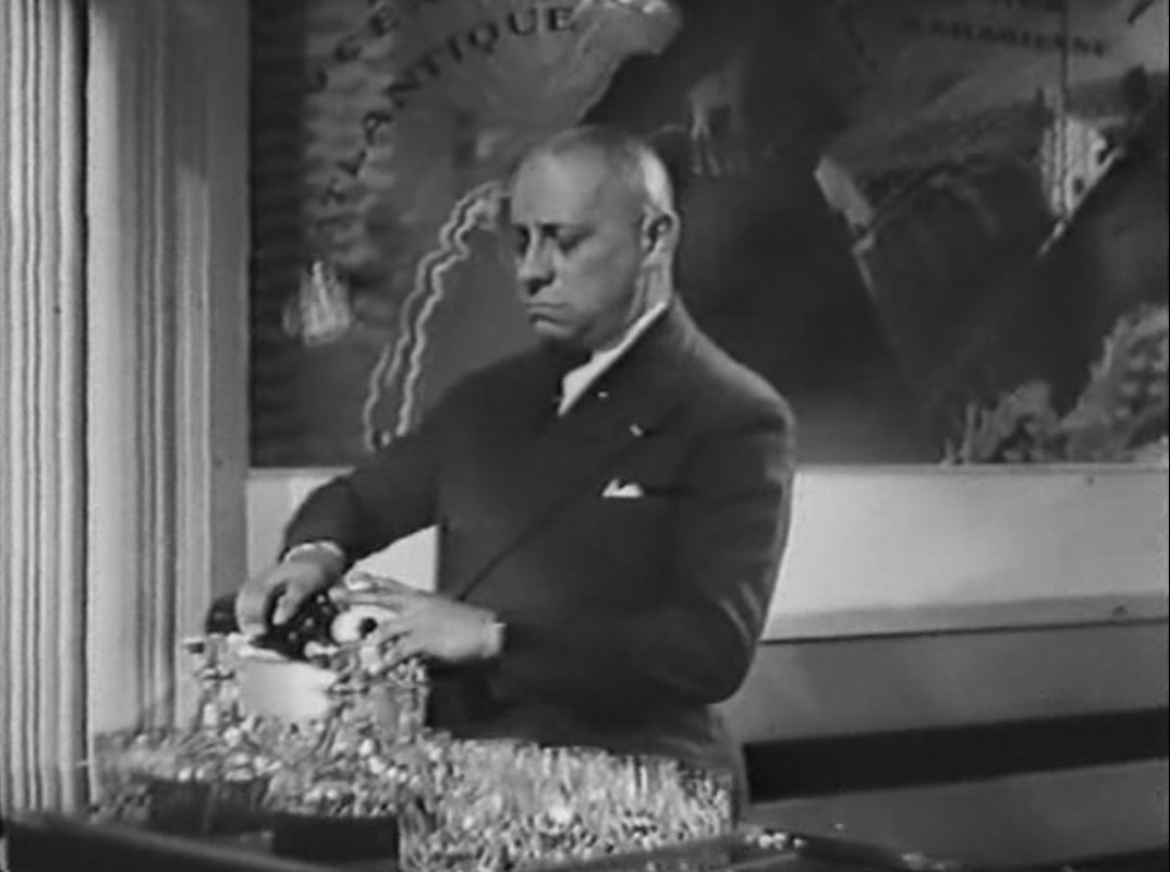
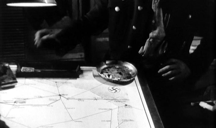
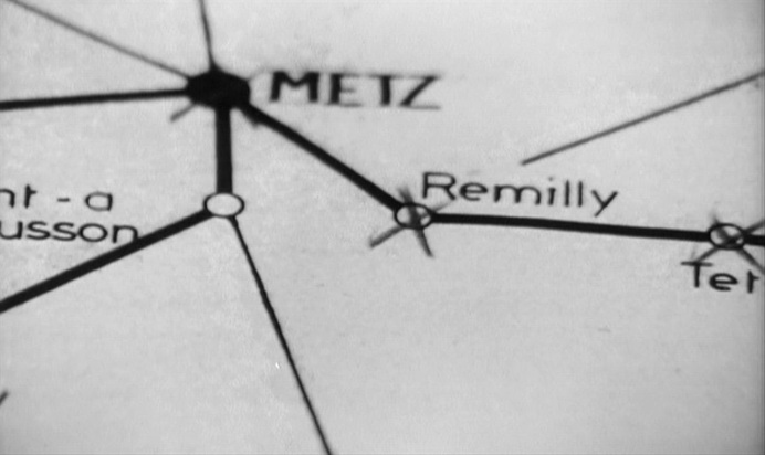
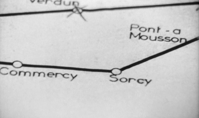
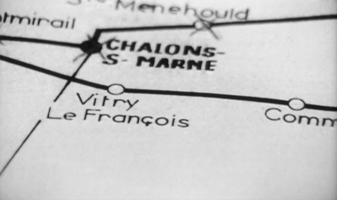
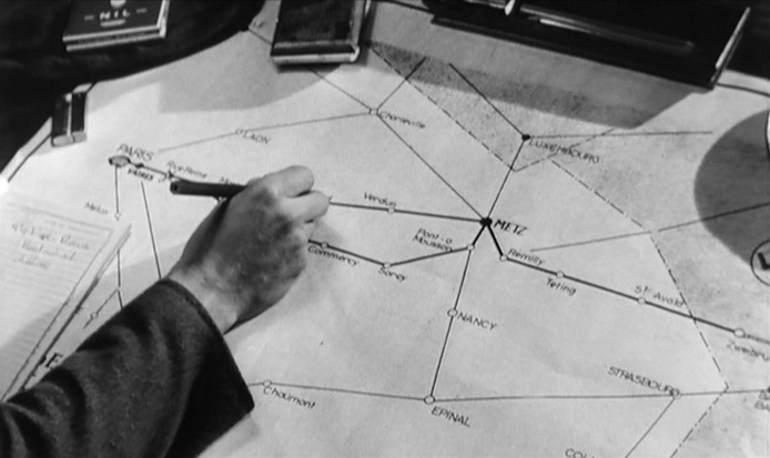
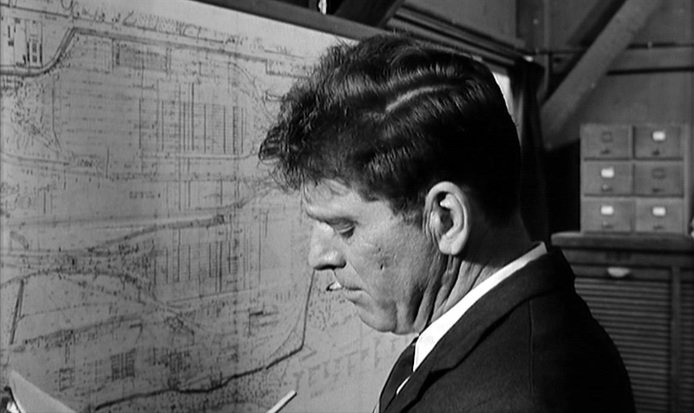
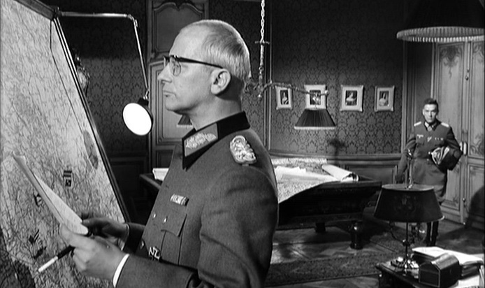
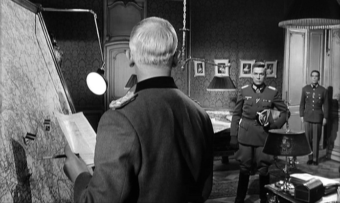
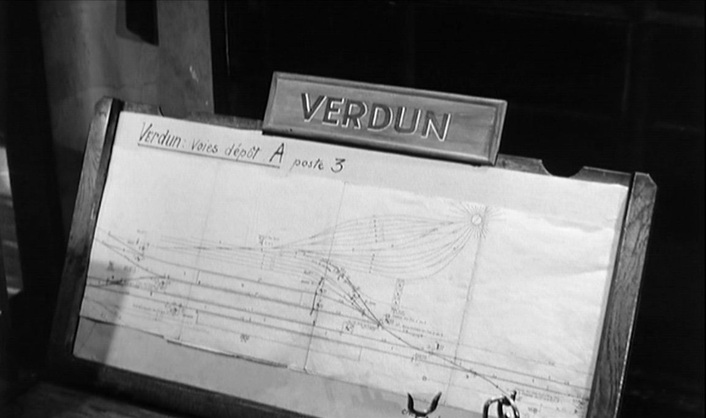
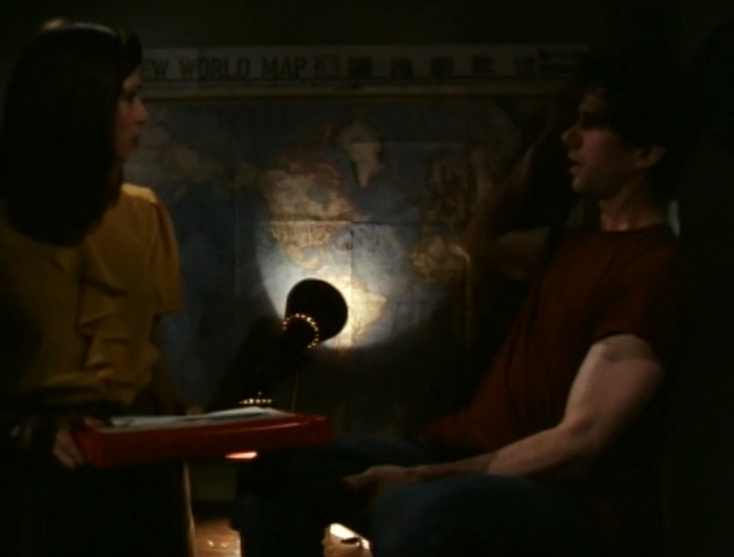
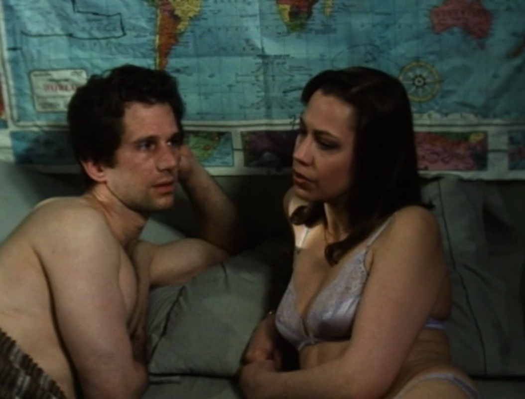
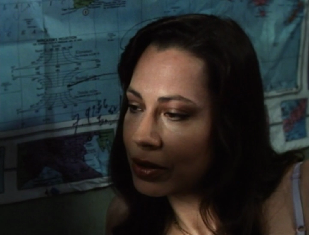
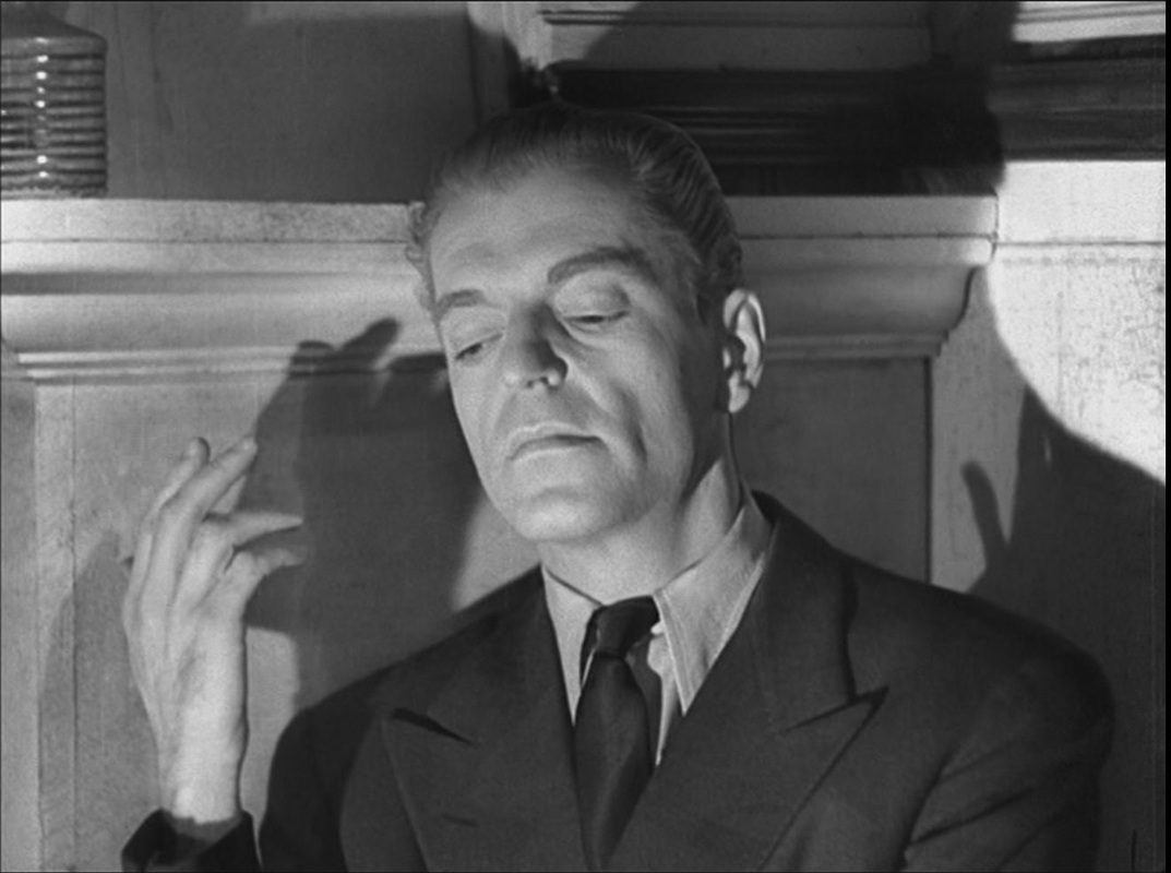
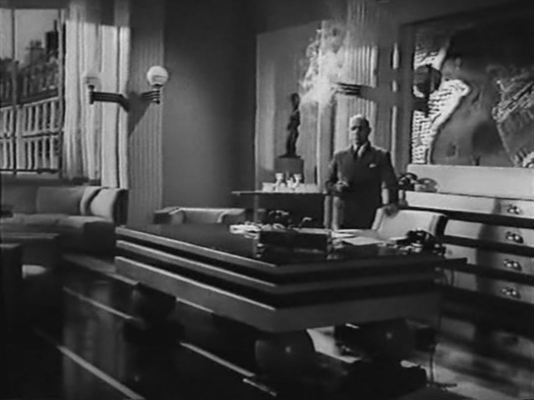
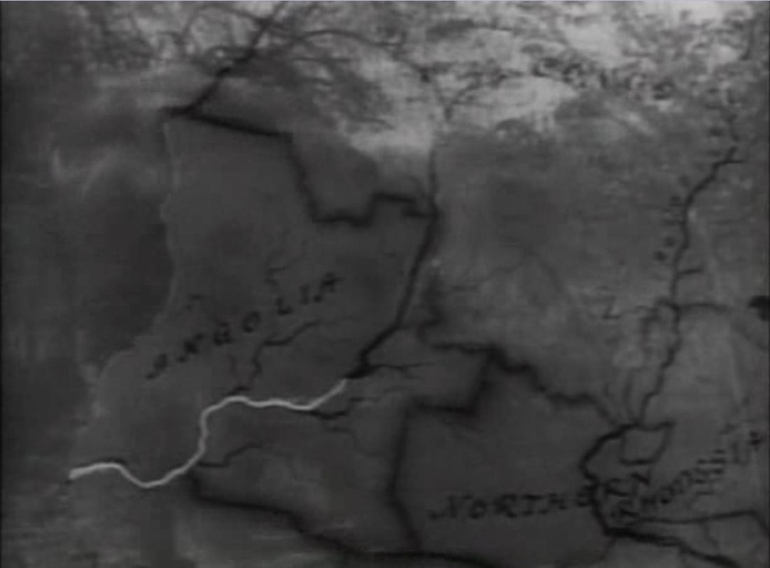
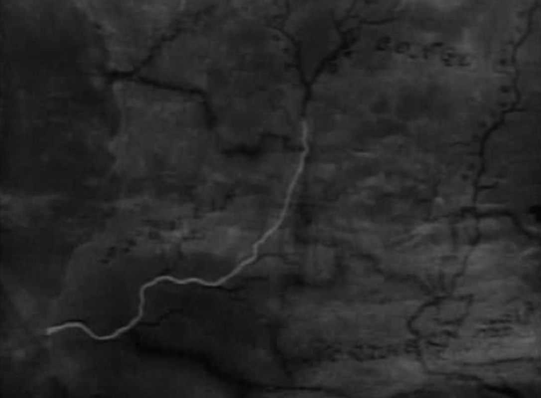
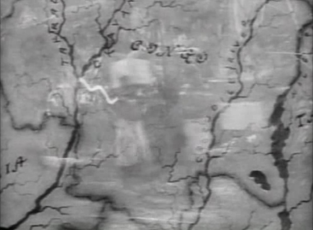
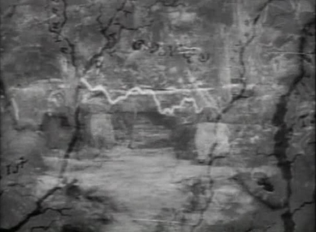
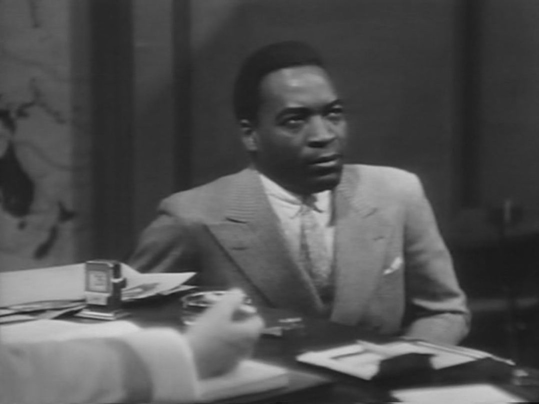
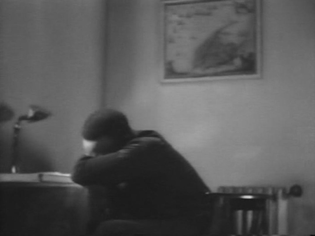
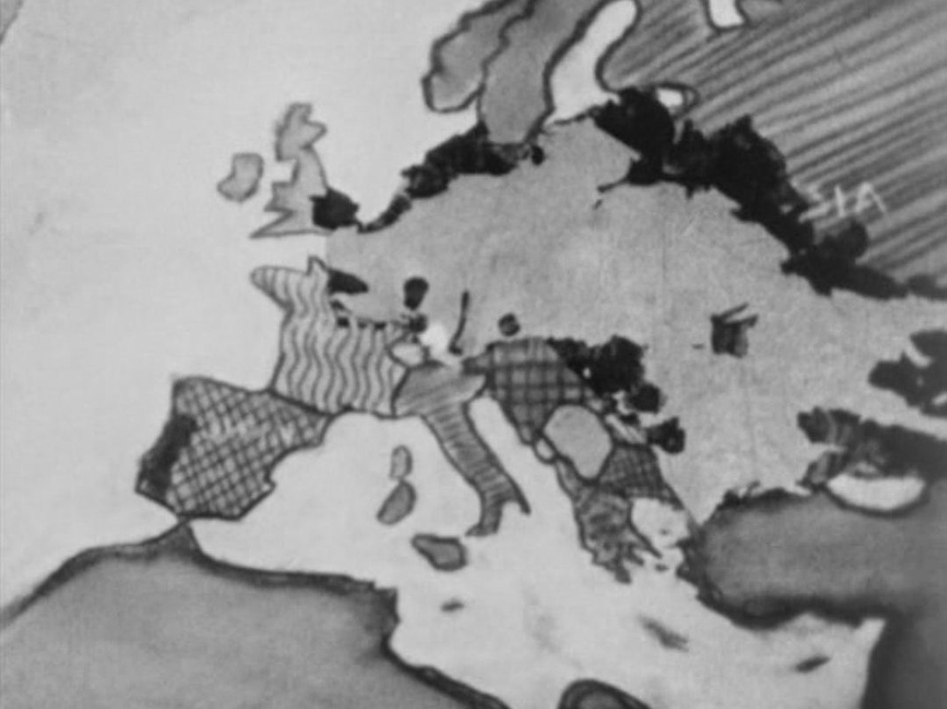
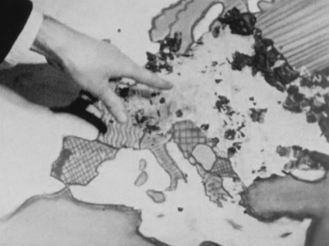
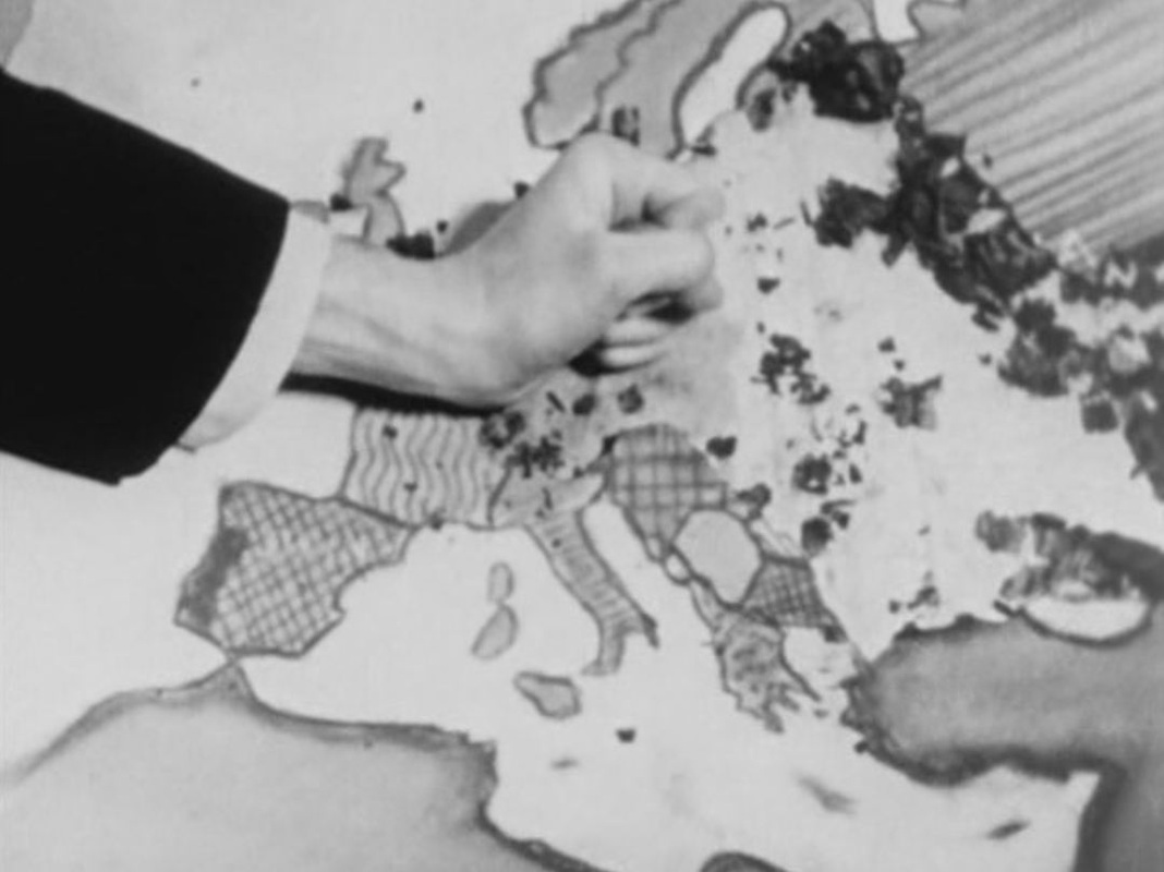
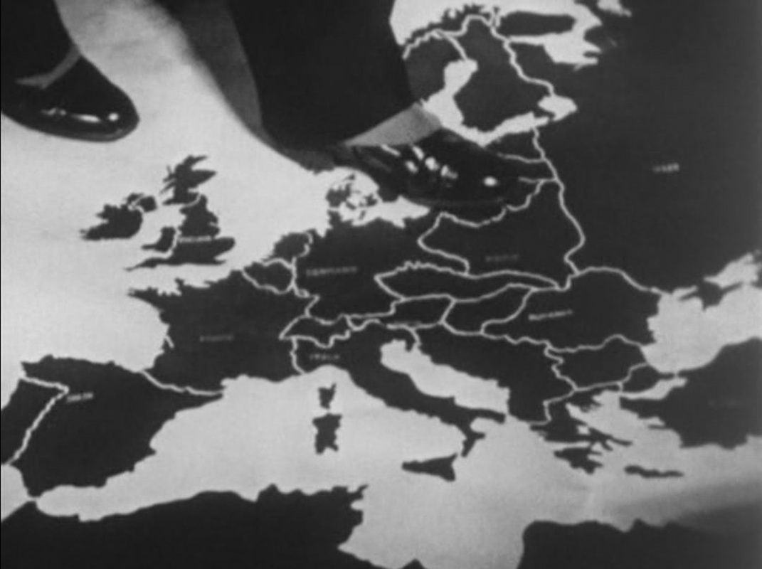
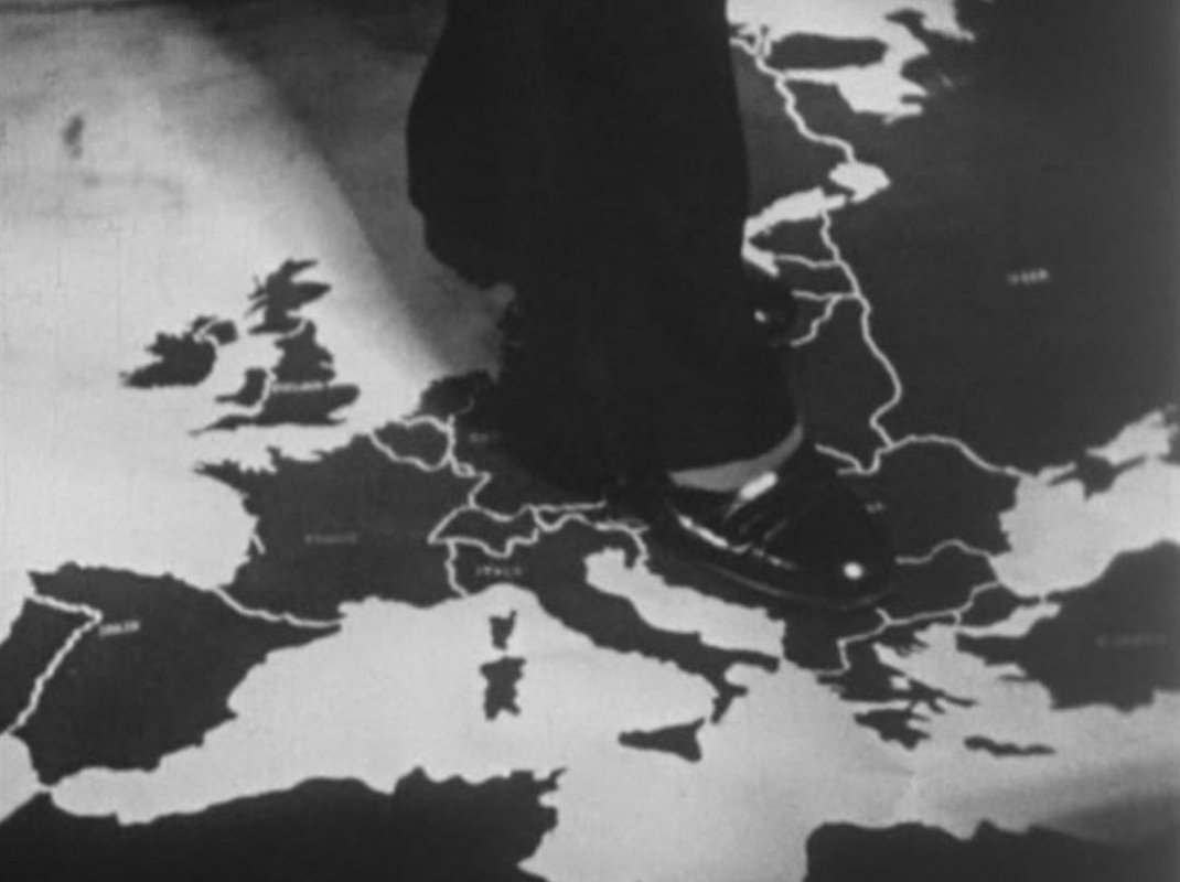
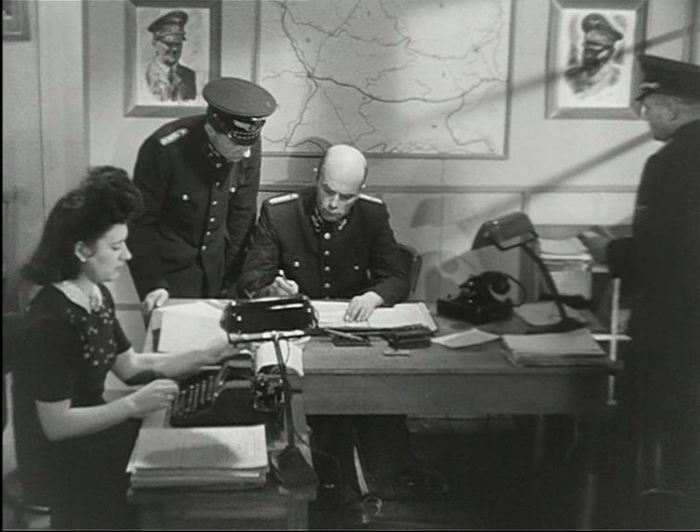
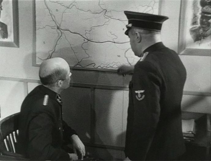
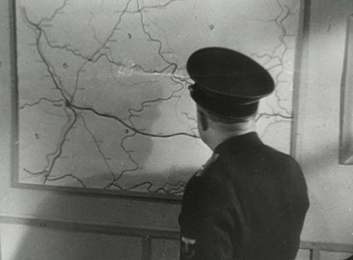
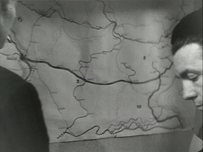
 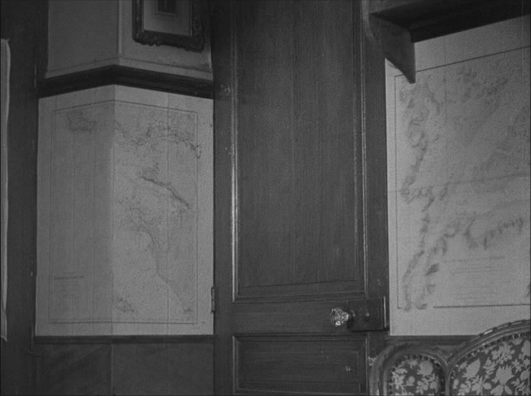 Most of the drama is played out in a single, map-lined room. The film was shot in the home of the author of the book from which it is adapted, and I assume these maps are his. They are used in the film as significant décor, often as a backdrop to the dramatic attitudes assumed by the German officer billeted in this French home:
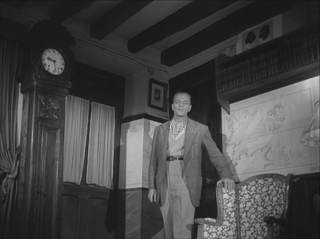
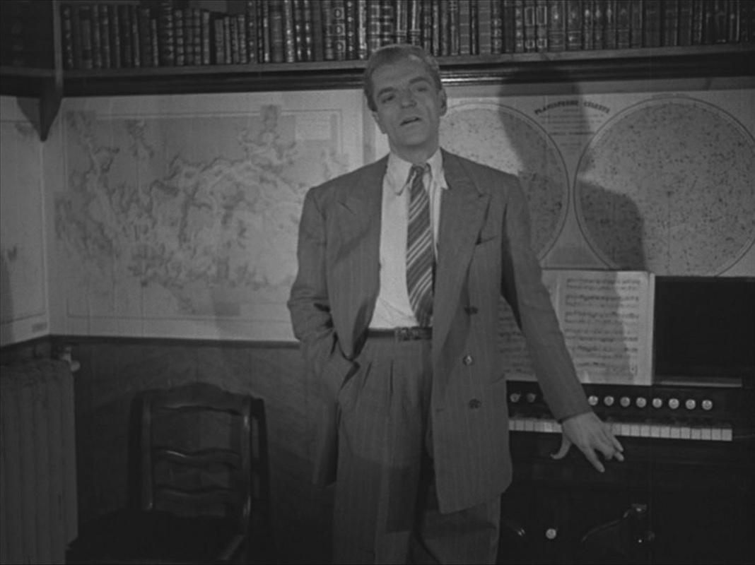
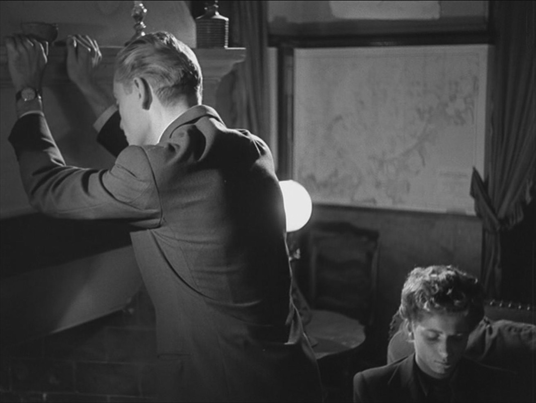
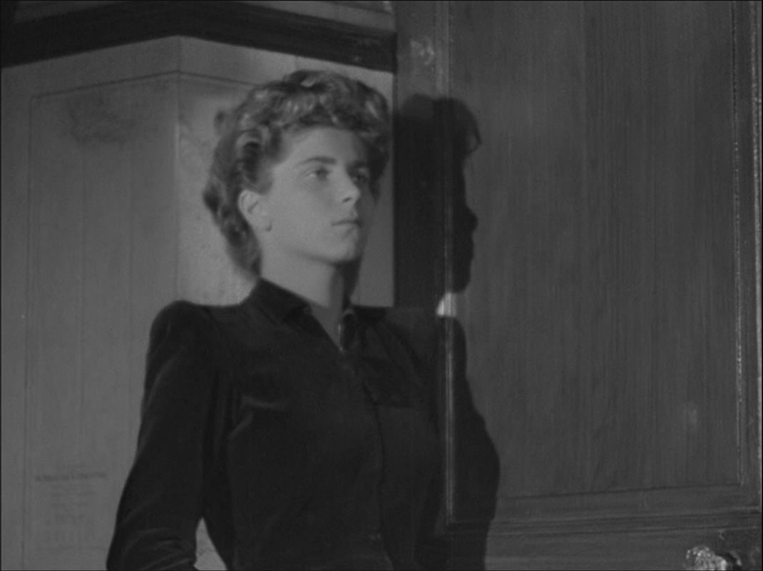
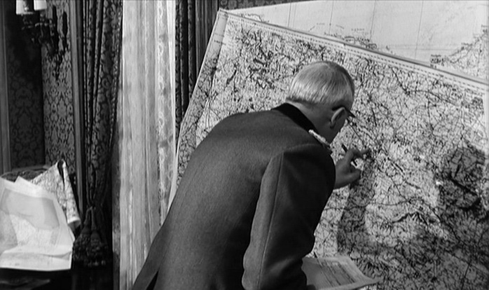
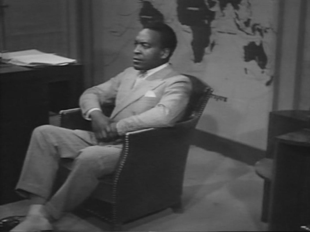
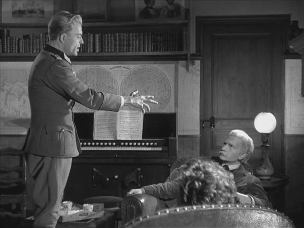  The maps also set off poses adopted by the old man and young woman who live in the house: 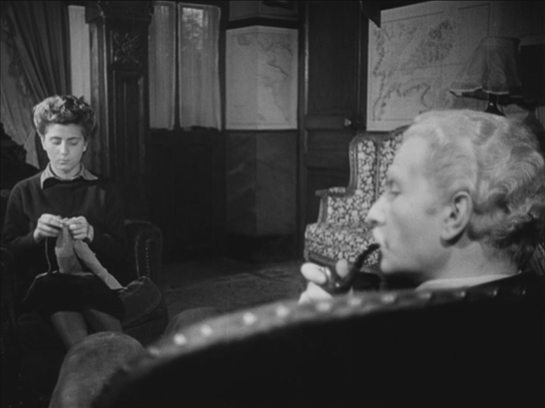
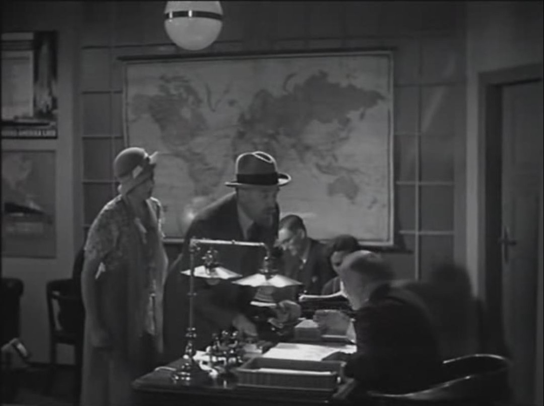
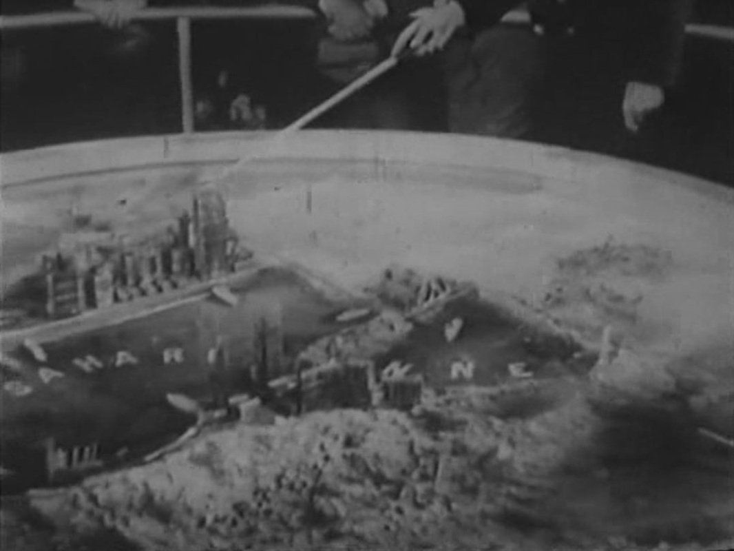
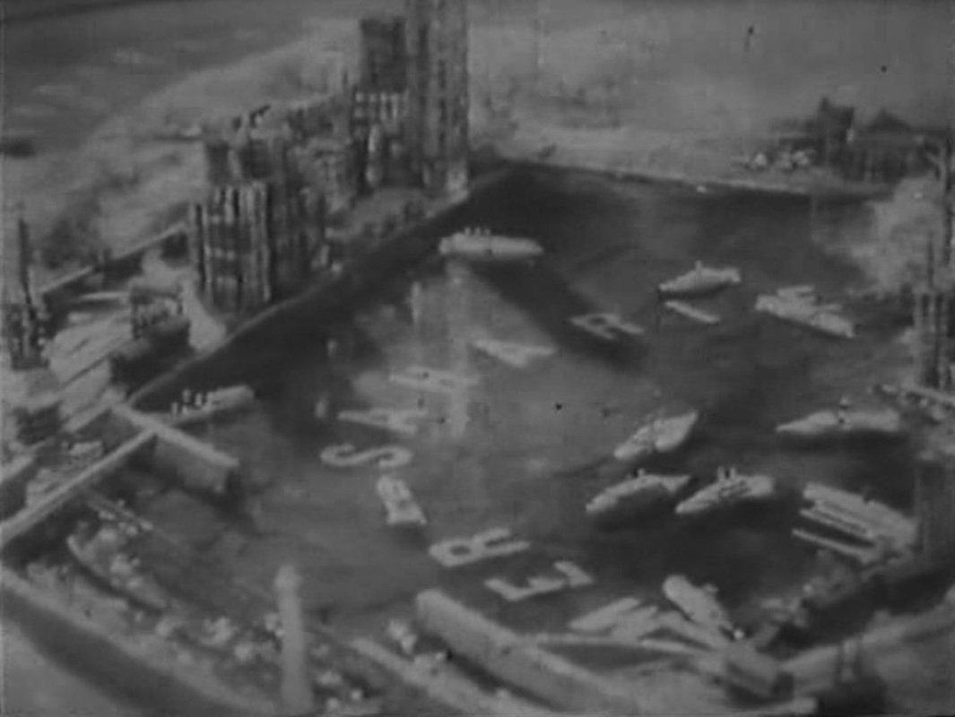
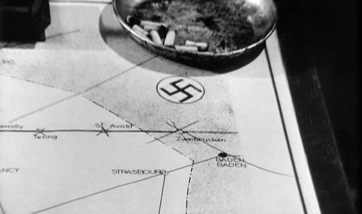
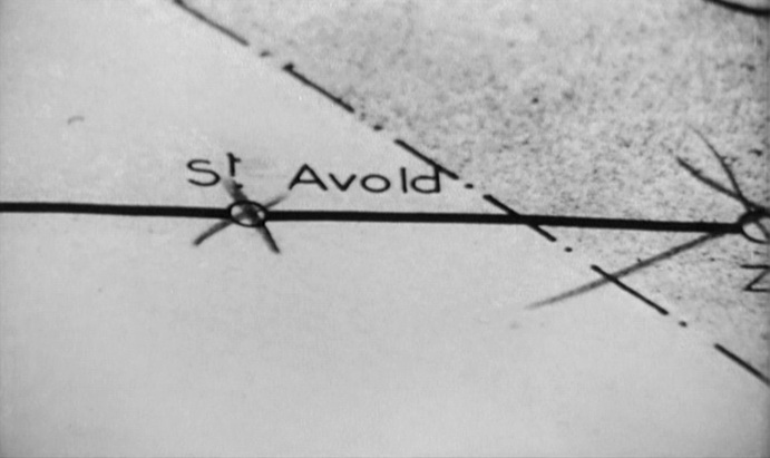
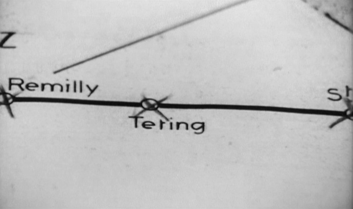
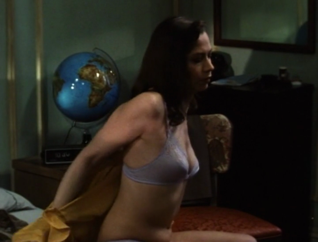
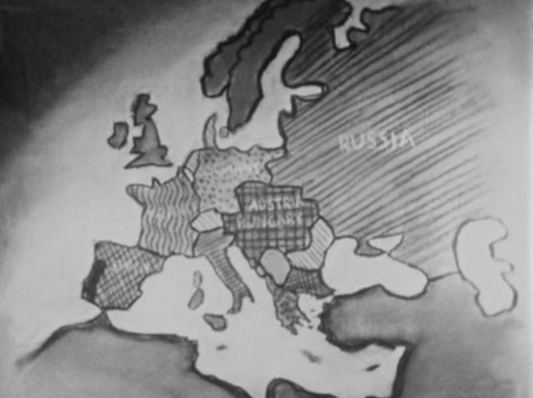
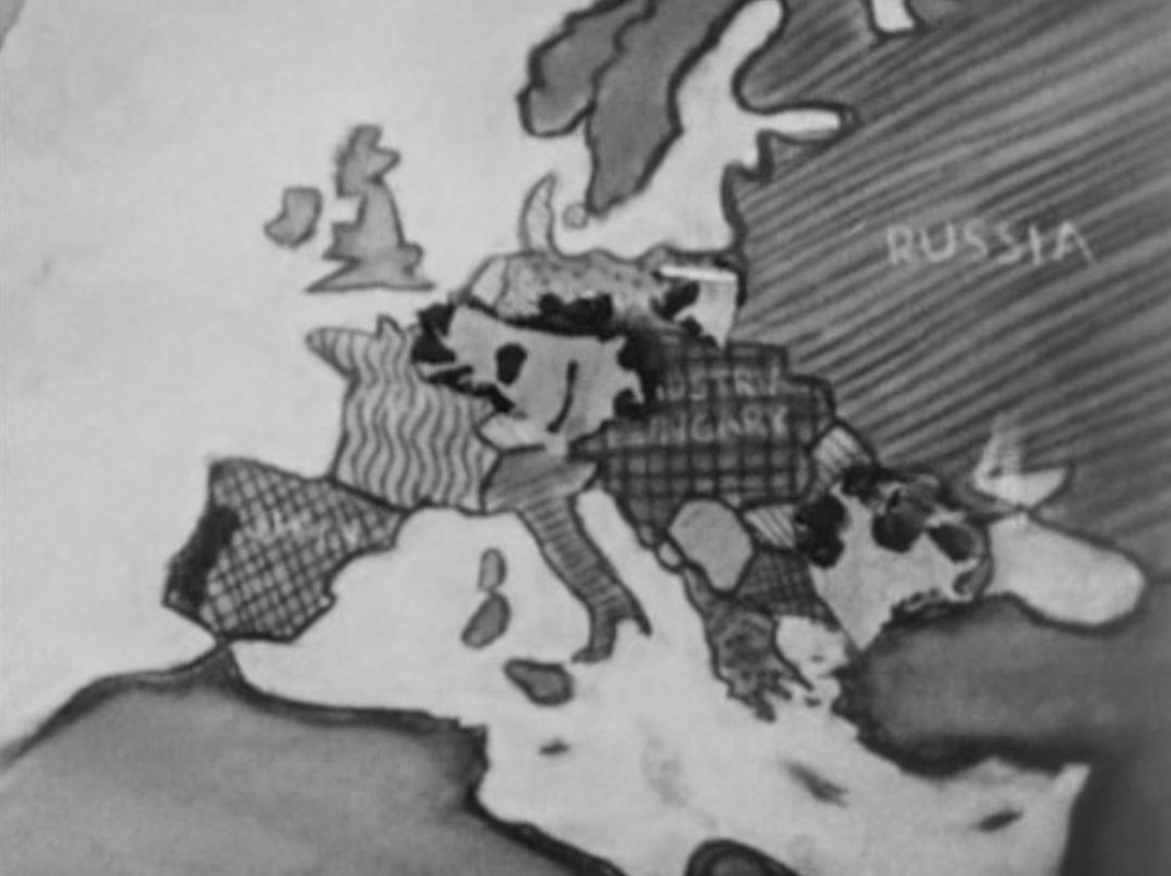
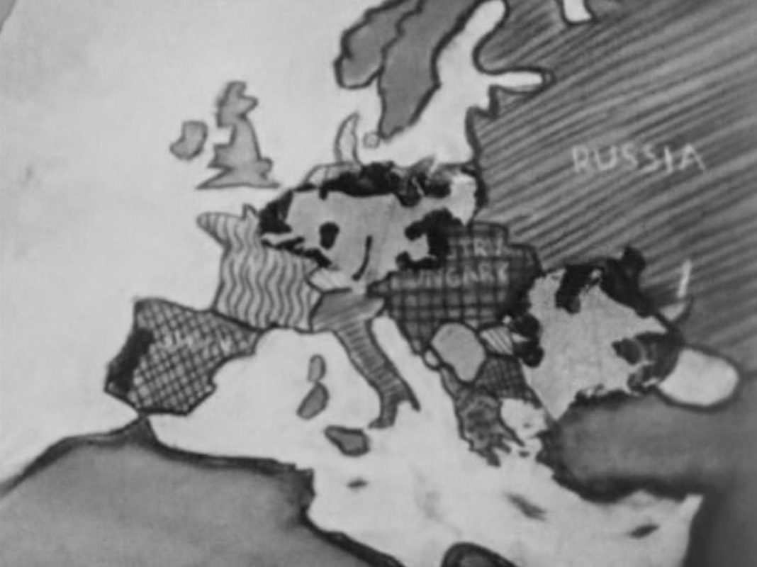
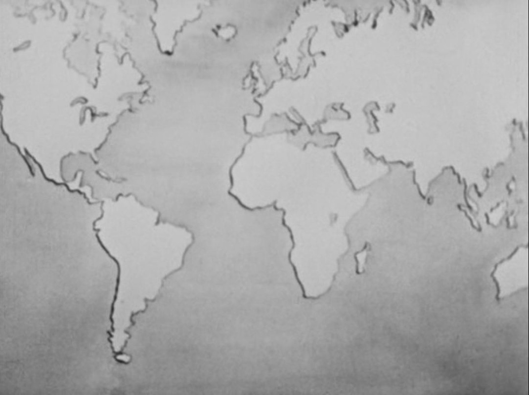
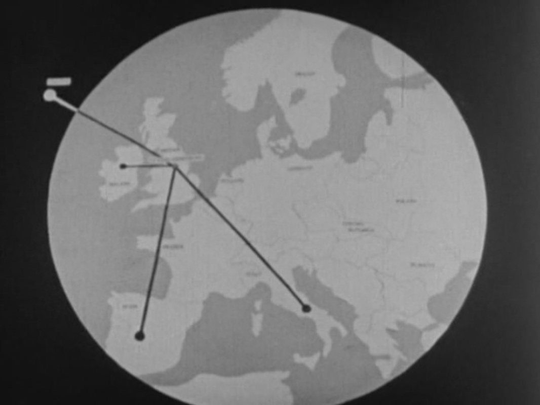
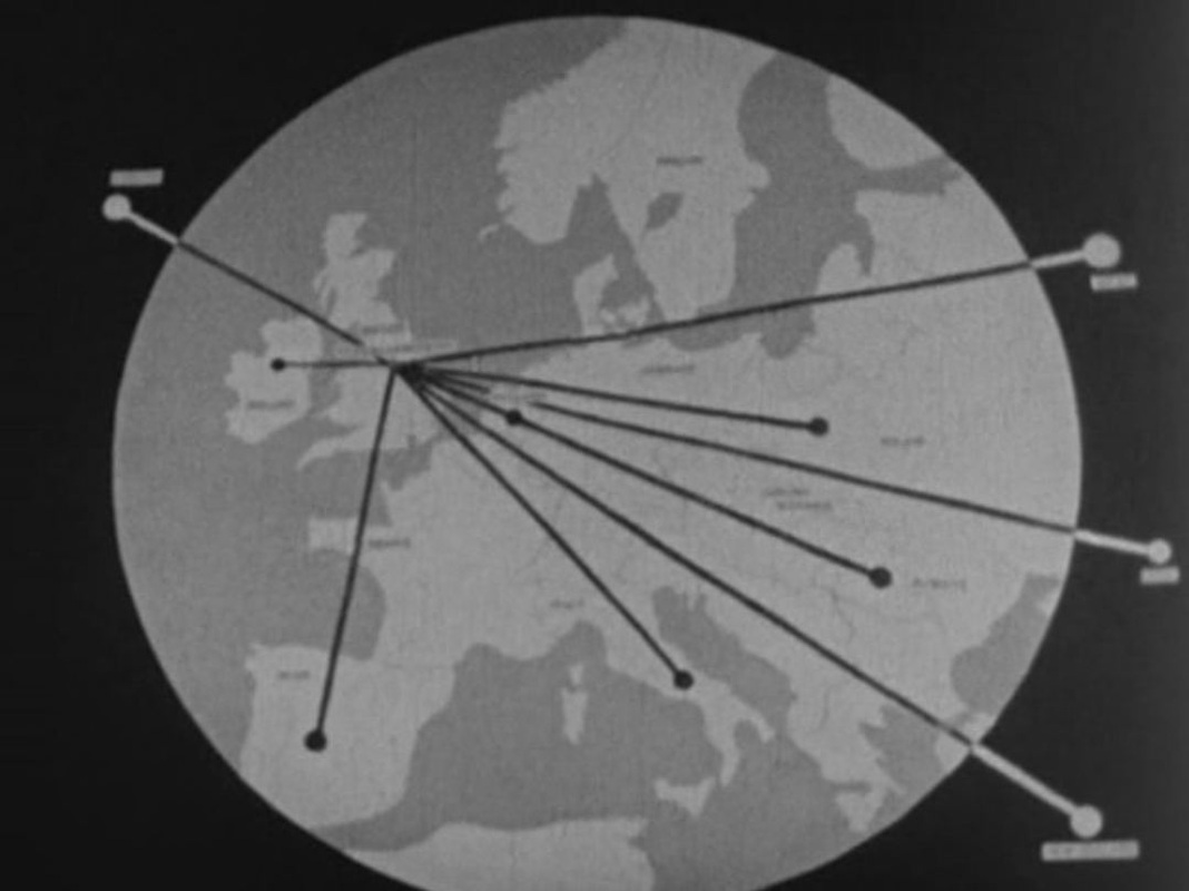
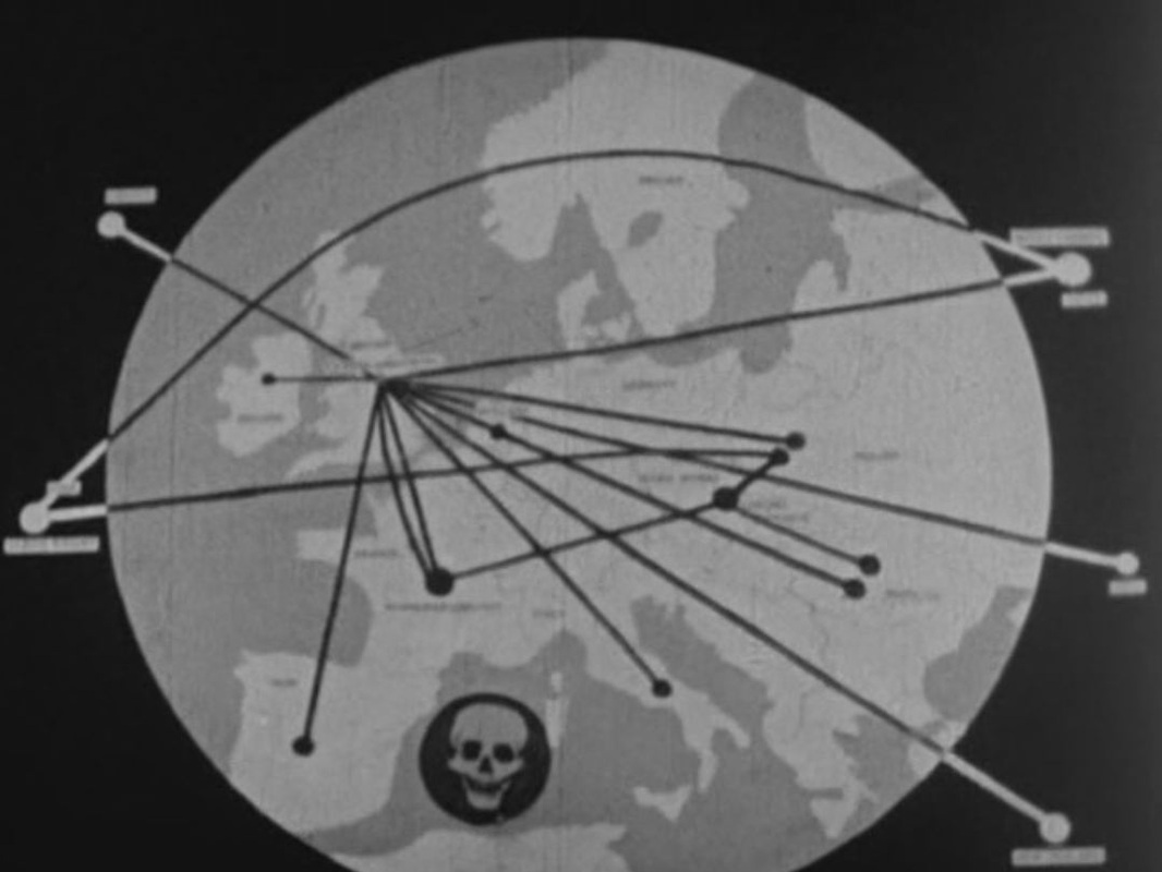
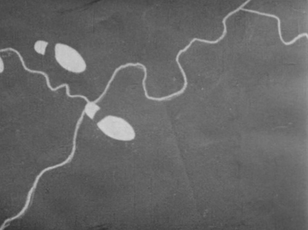
To my shame I can identify none of the places represented on these maps, except for those on the globe and the planisphere of the heavens. A few other maps feature in the film, such as this curious (hand-drawn?) map of the Red Sea area: 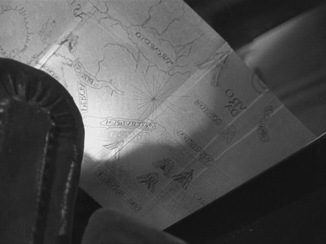 The map is in reverse because it is filmed from below and behind, as the old man folds it back into the book he is reading. In the kitchen of the house we see a part of a map if Paris on the wall, and in his room the German officer examines a book about Paris with a map of the Ile de la Cité on the cover: 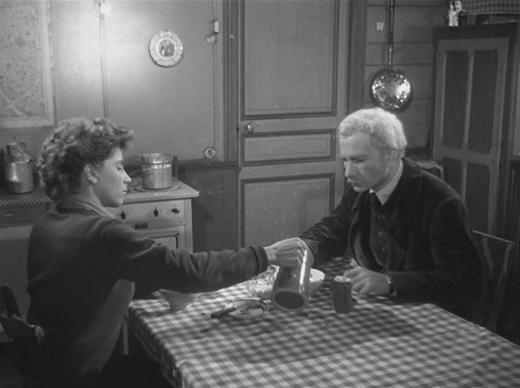 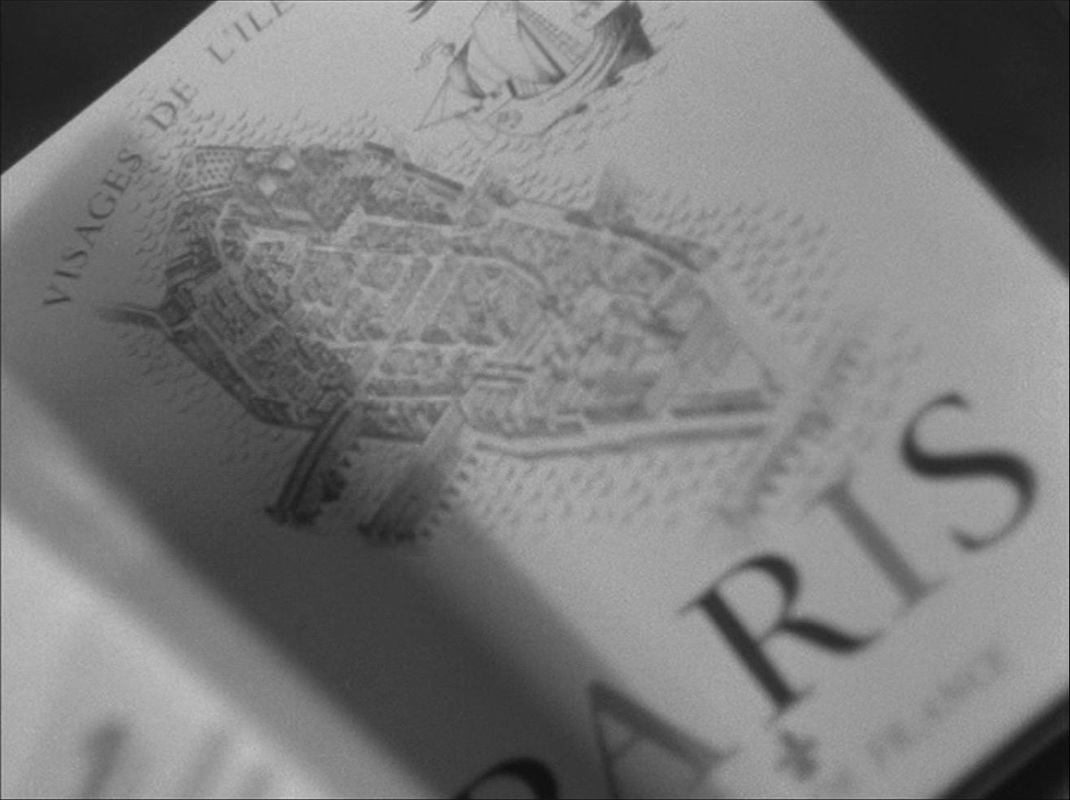 There is also a map of Europe on the banner of the Petit Parisien newspaper that he has in his room: 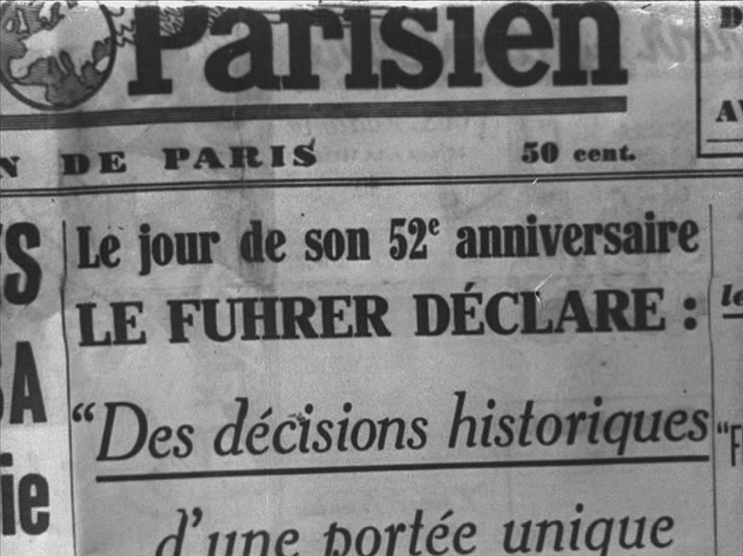 The only other maps are at the mairie of Villiers-sur-Morin, where the German officer works. One probably represents the area of jurisdiction, the other shows the outline of the British Isles on a propaganda poster: 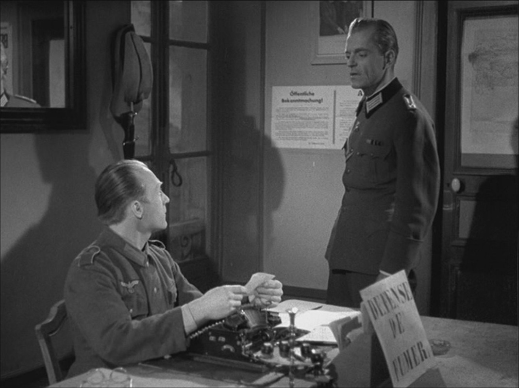 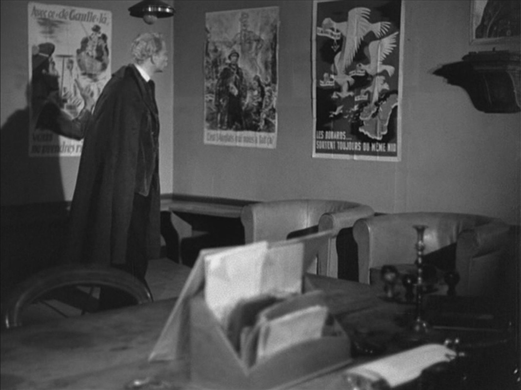 Each of these, curiously, is reframed and reversed by being seen in a mirror: 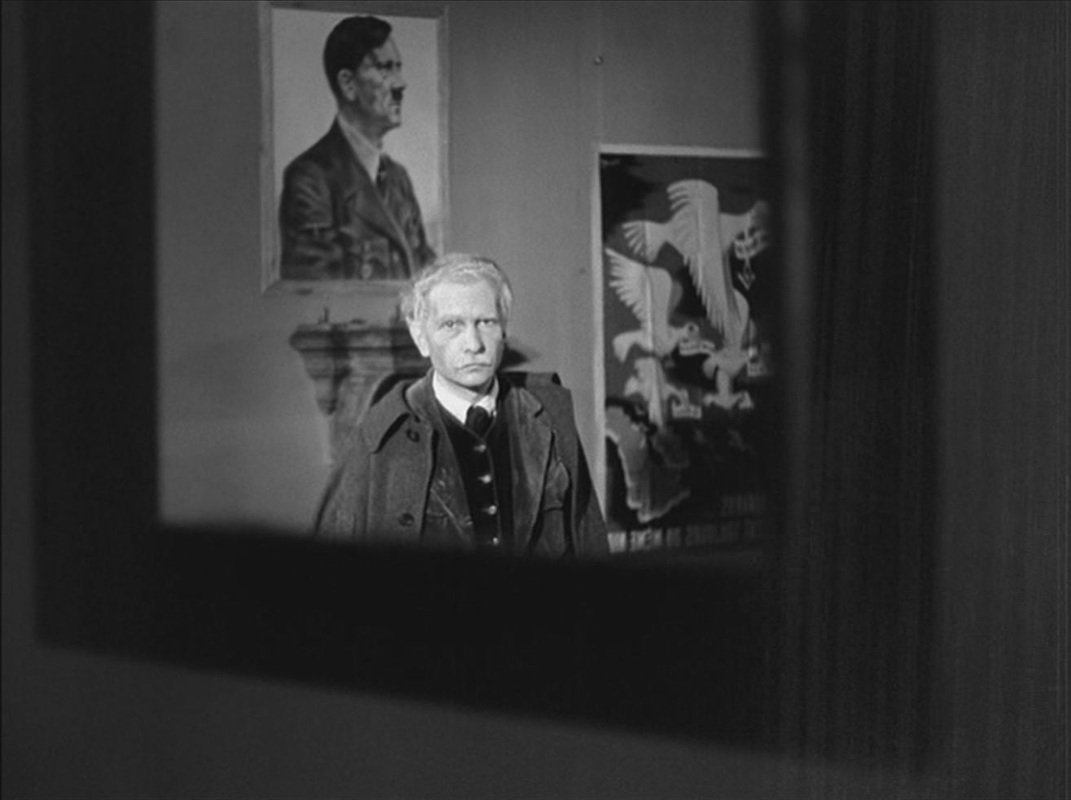 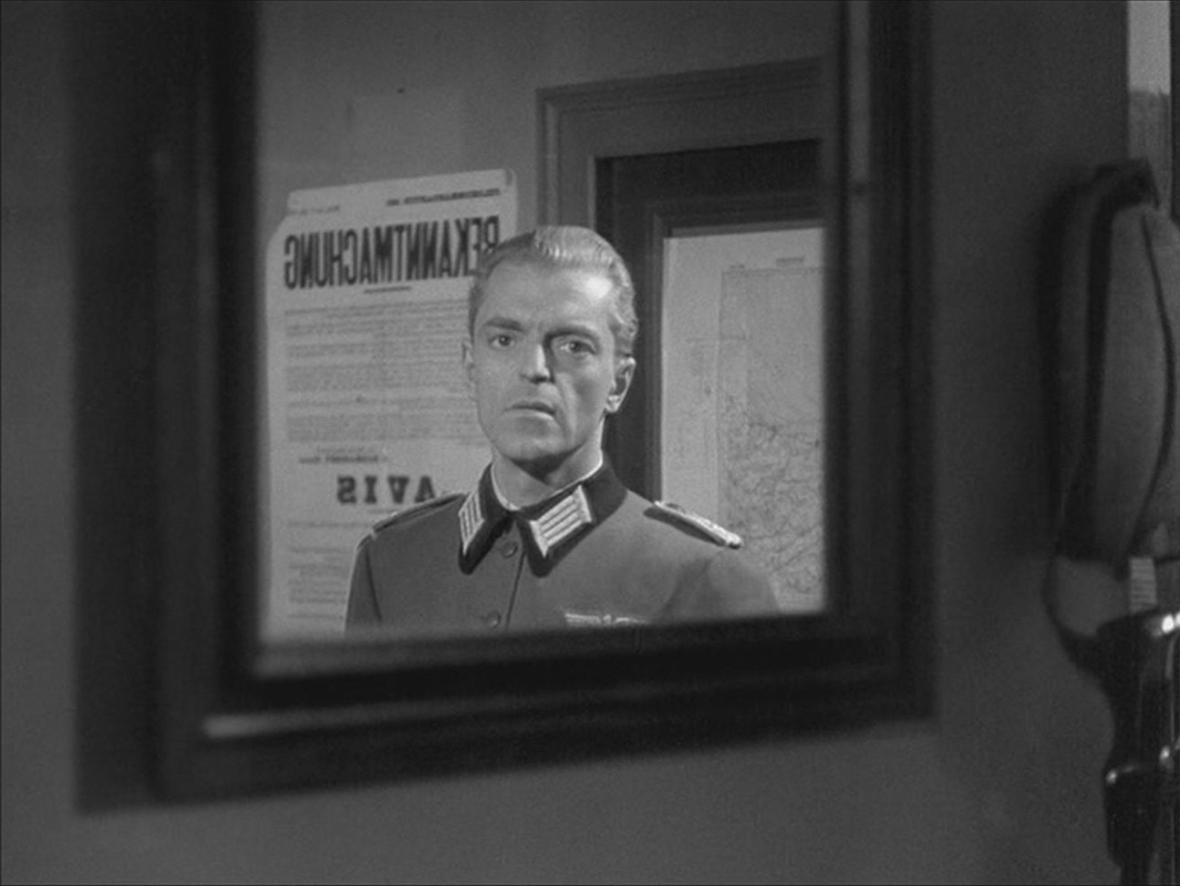 Postscript: A still of this last image is used in Jean-Louis Roy's 1967 film L'Inconnu de Shandigor, where it evokes the Nazi past of a character played by Howard Vernon: 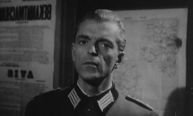 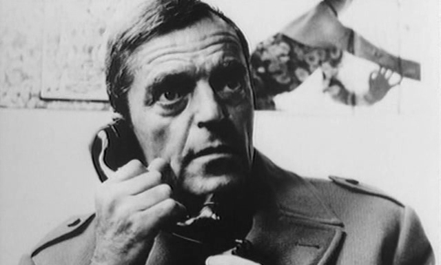 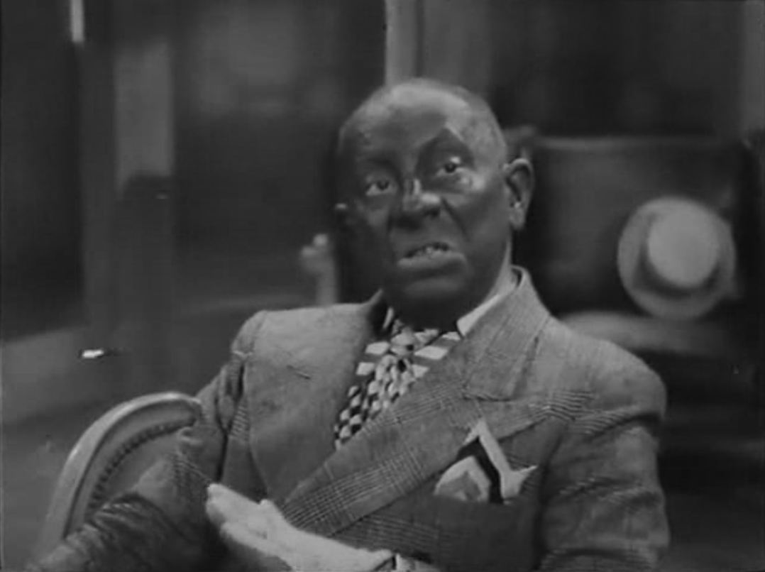 Decorum and the subject specificity of this blog prohibit me from displaying the astonishing sight of Von Stroheim in blackface, from the New York scenes with which this very peculiar film opens. The maps that illustrate the crossing of the Atlantic and a plan to make a sea in the Sahara are splendid. 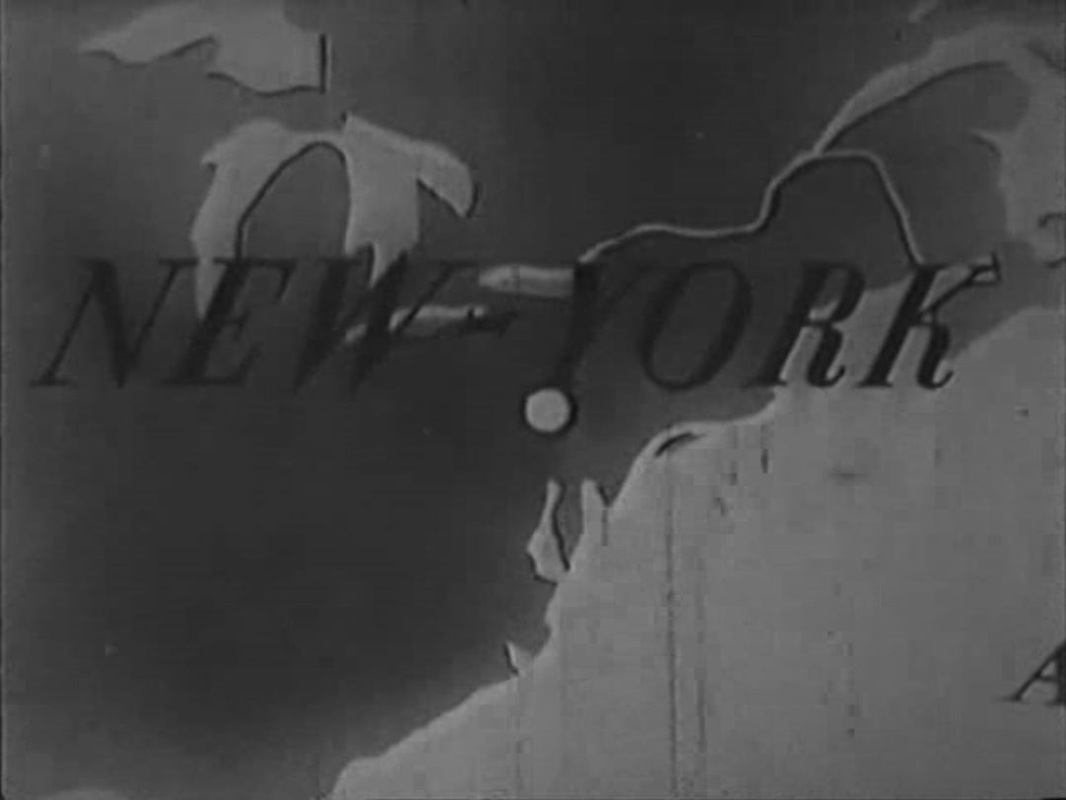 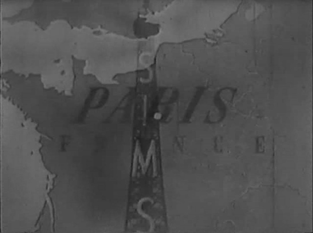   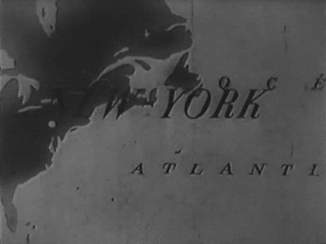 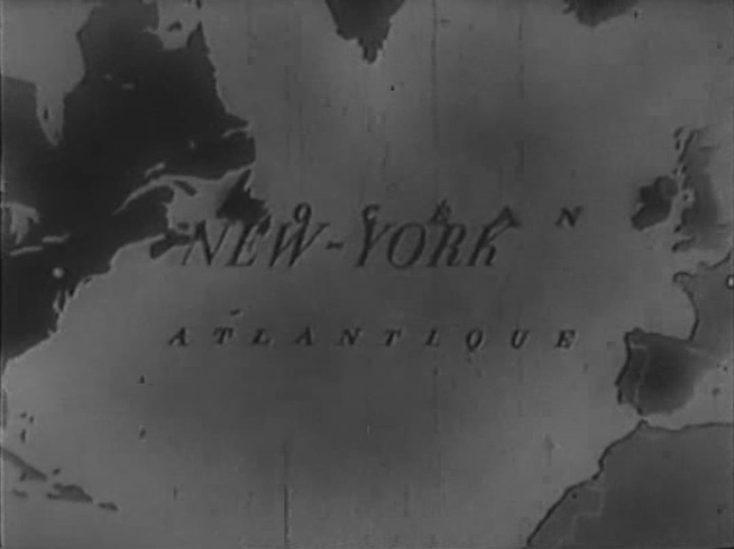 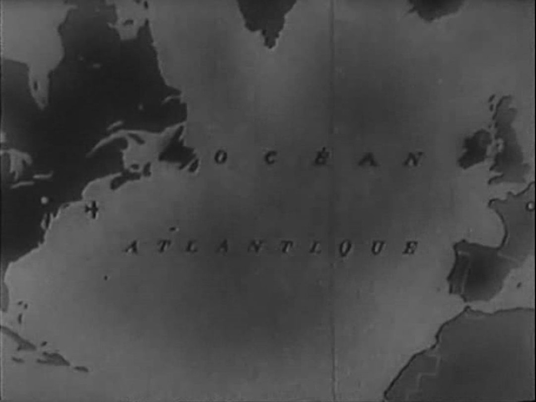 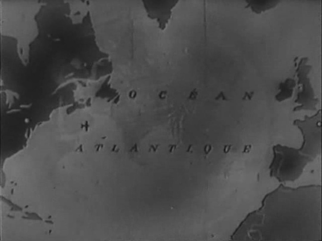 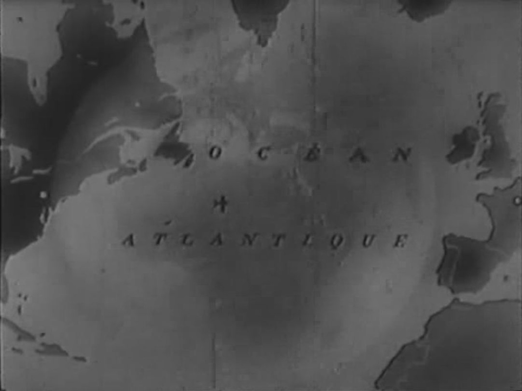 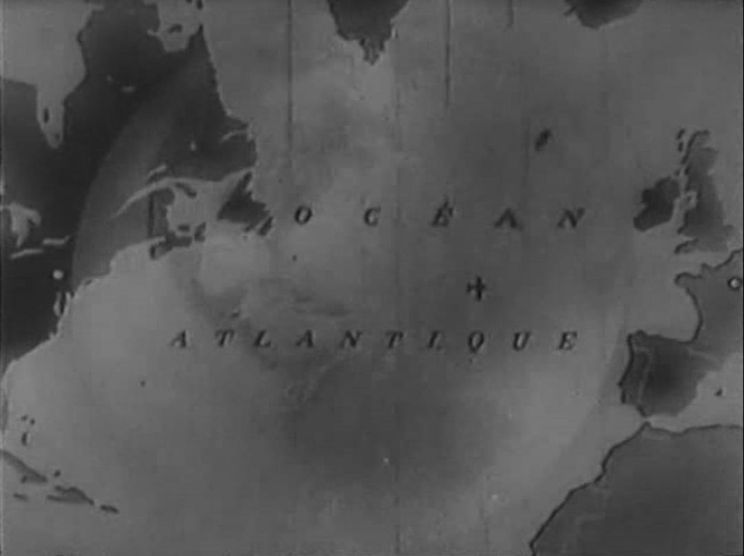        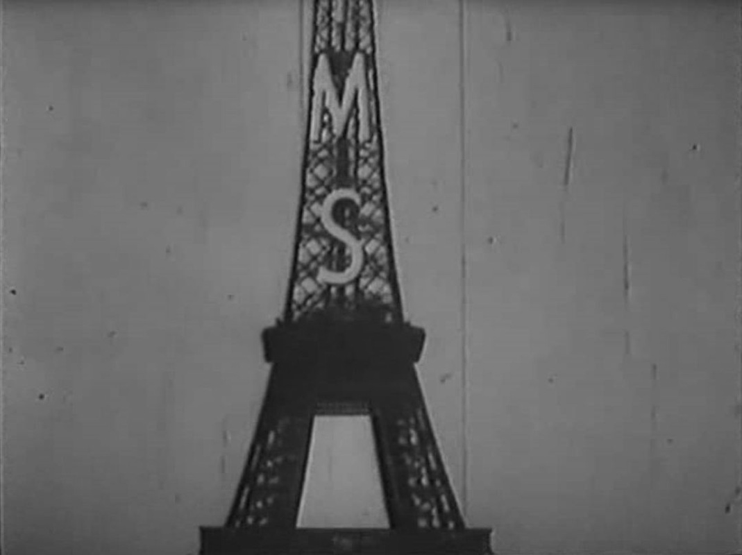 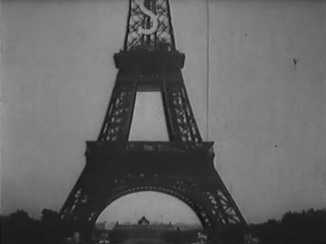 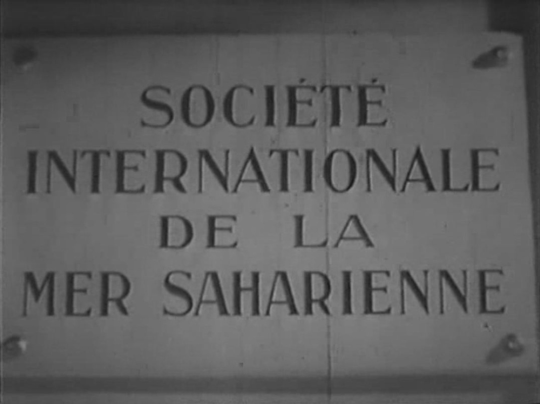 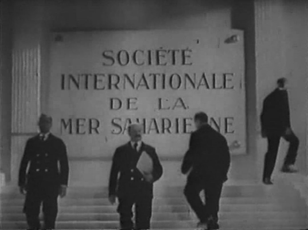
 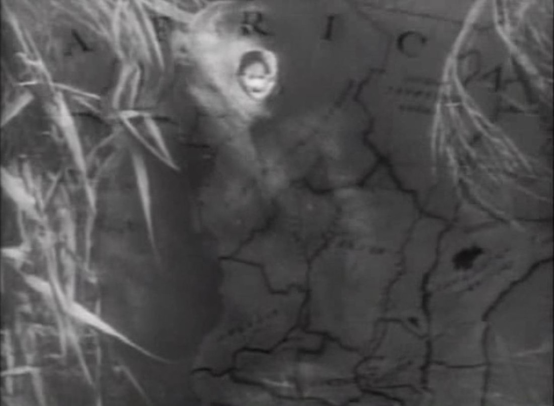
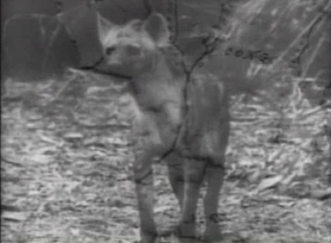
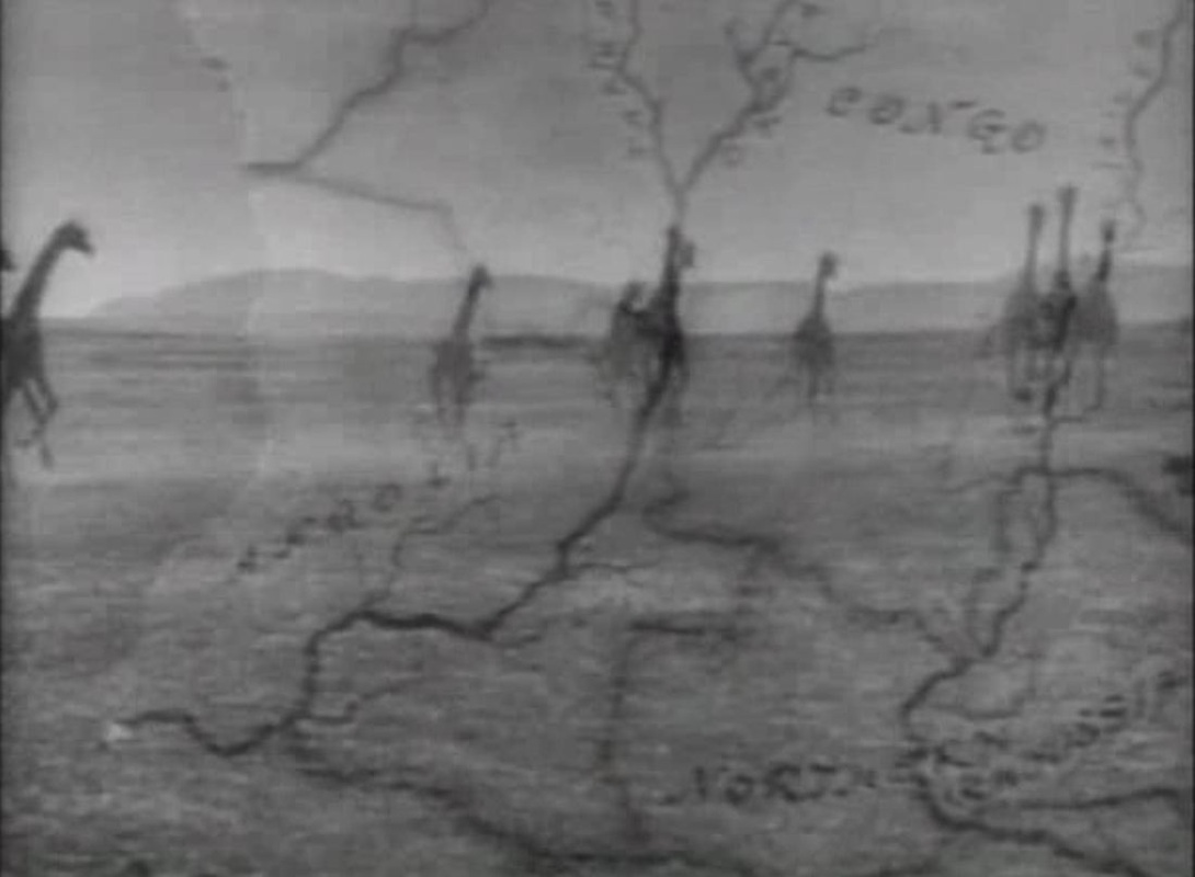

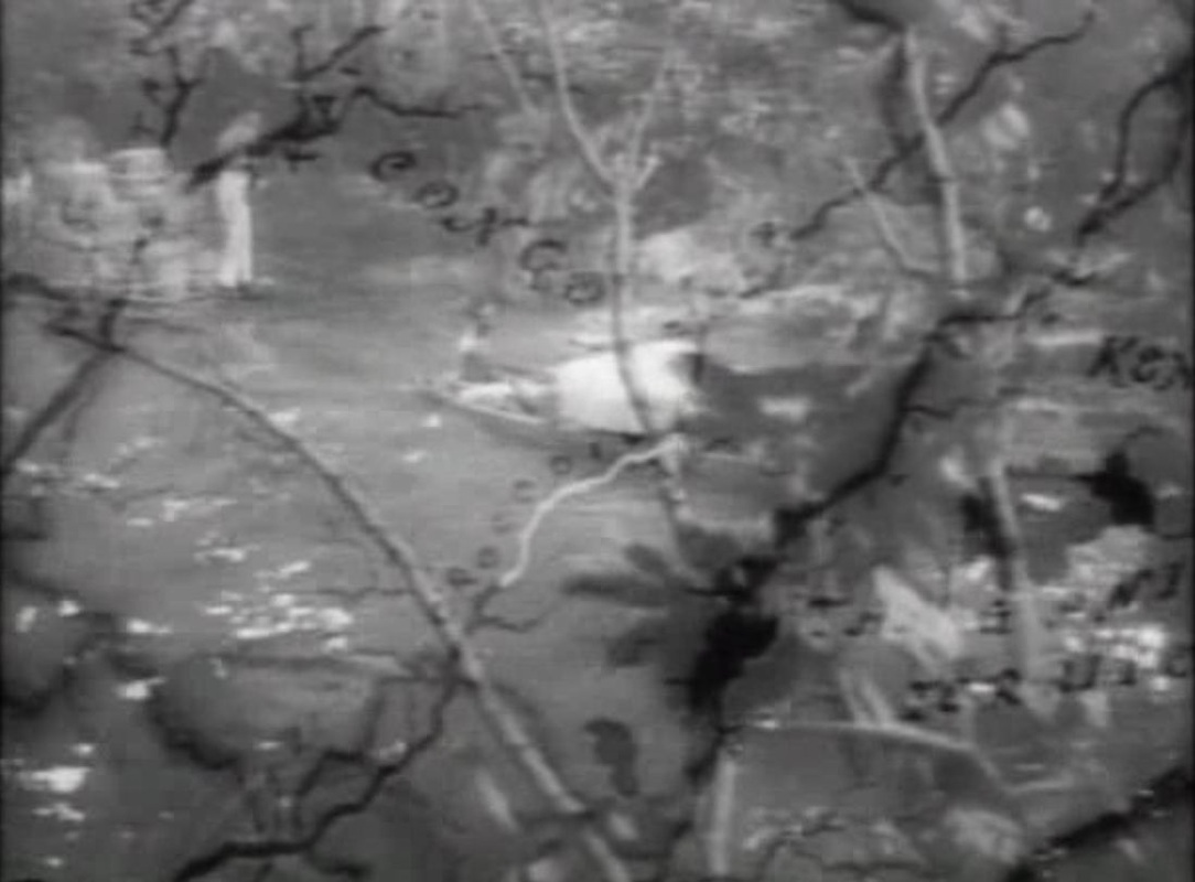
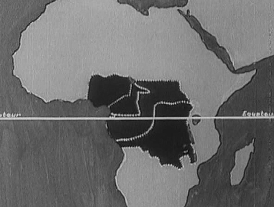
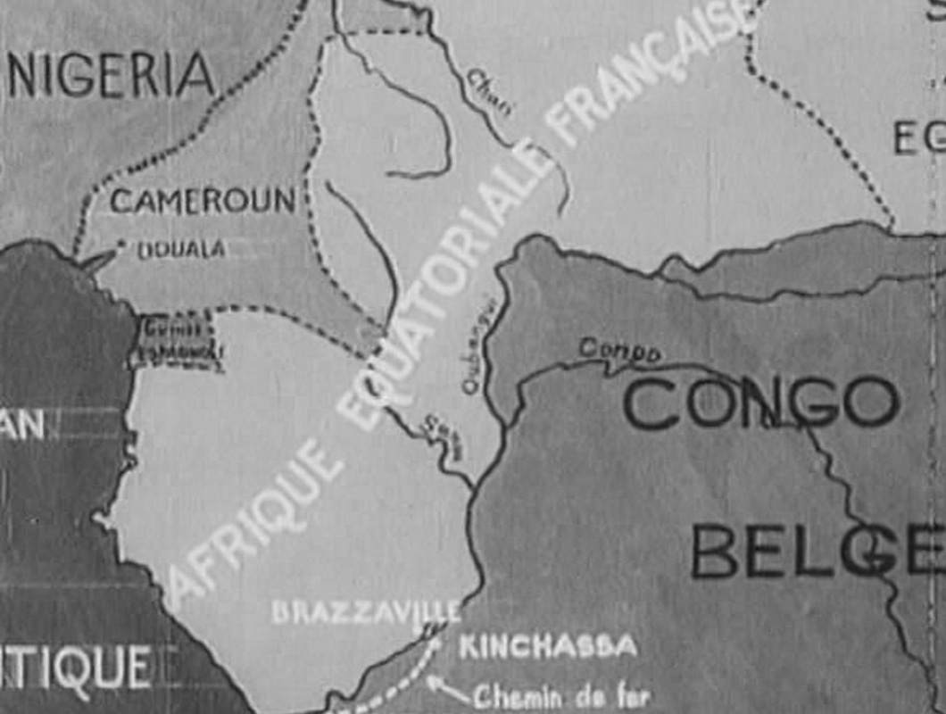
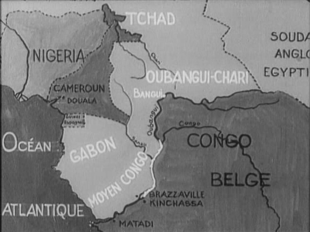
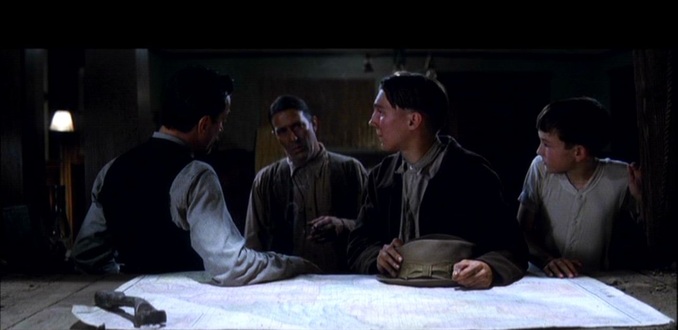
An explorer's map is the narrative pretext, but other than the cinemap of the journey across Africa, which the film returns to twice, the only map we see is this: 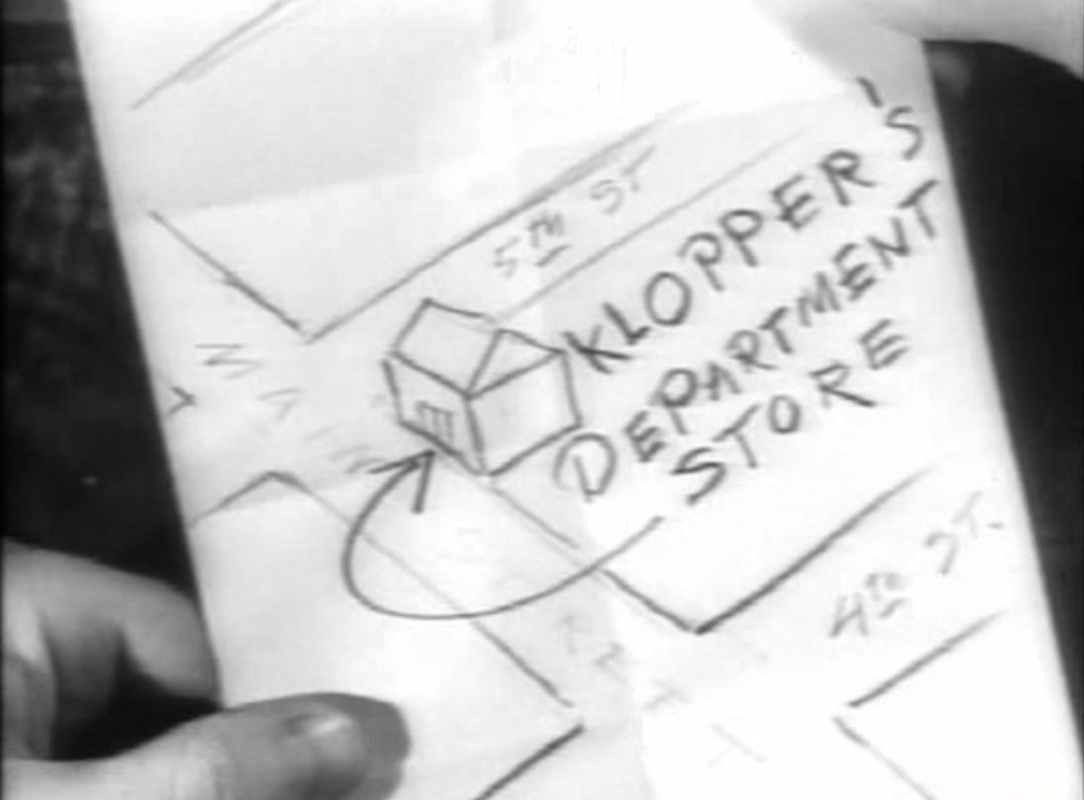
... and a glimpse of a globe: 
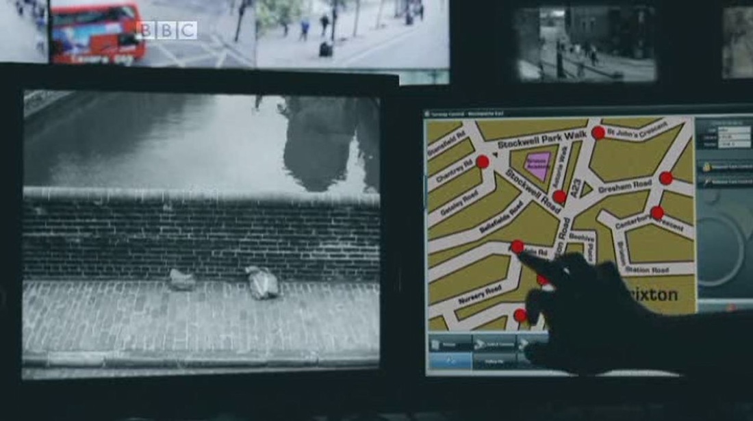
 To find someone seen at a porte de Paris, the members of the group divide up Paris and each make enquiries with a photograph at a different crossing point into the city. 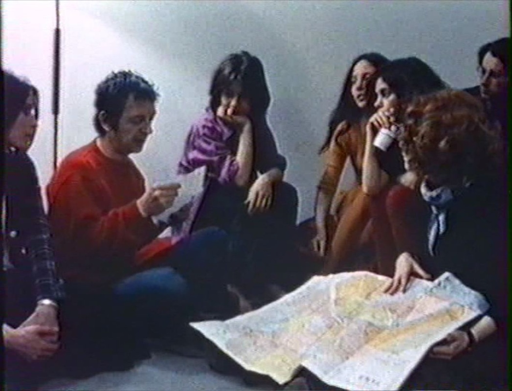 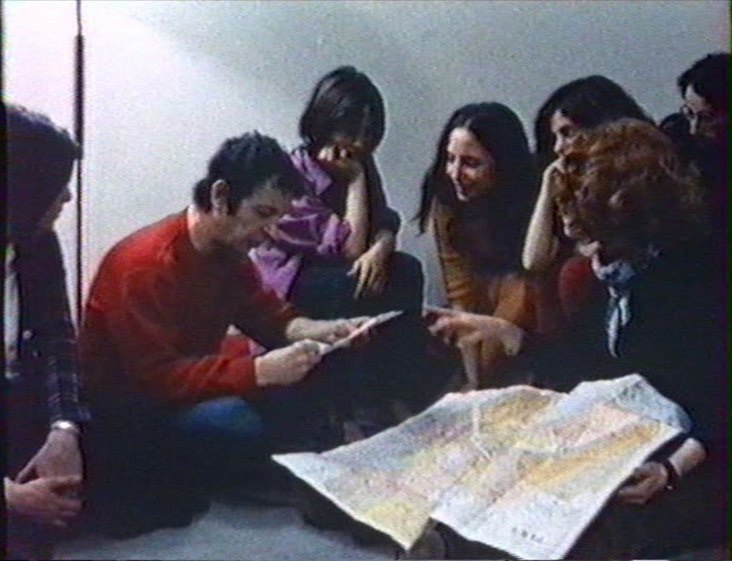   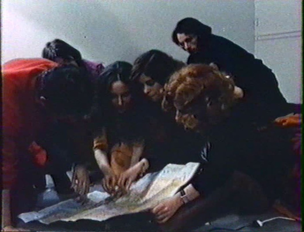 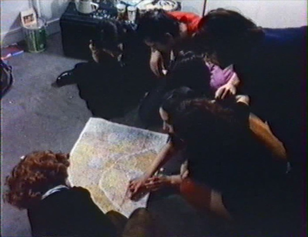   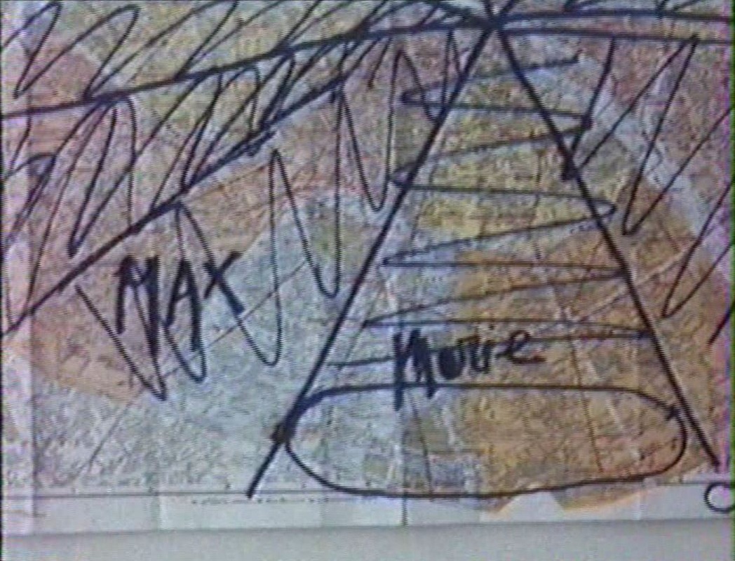 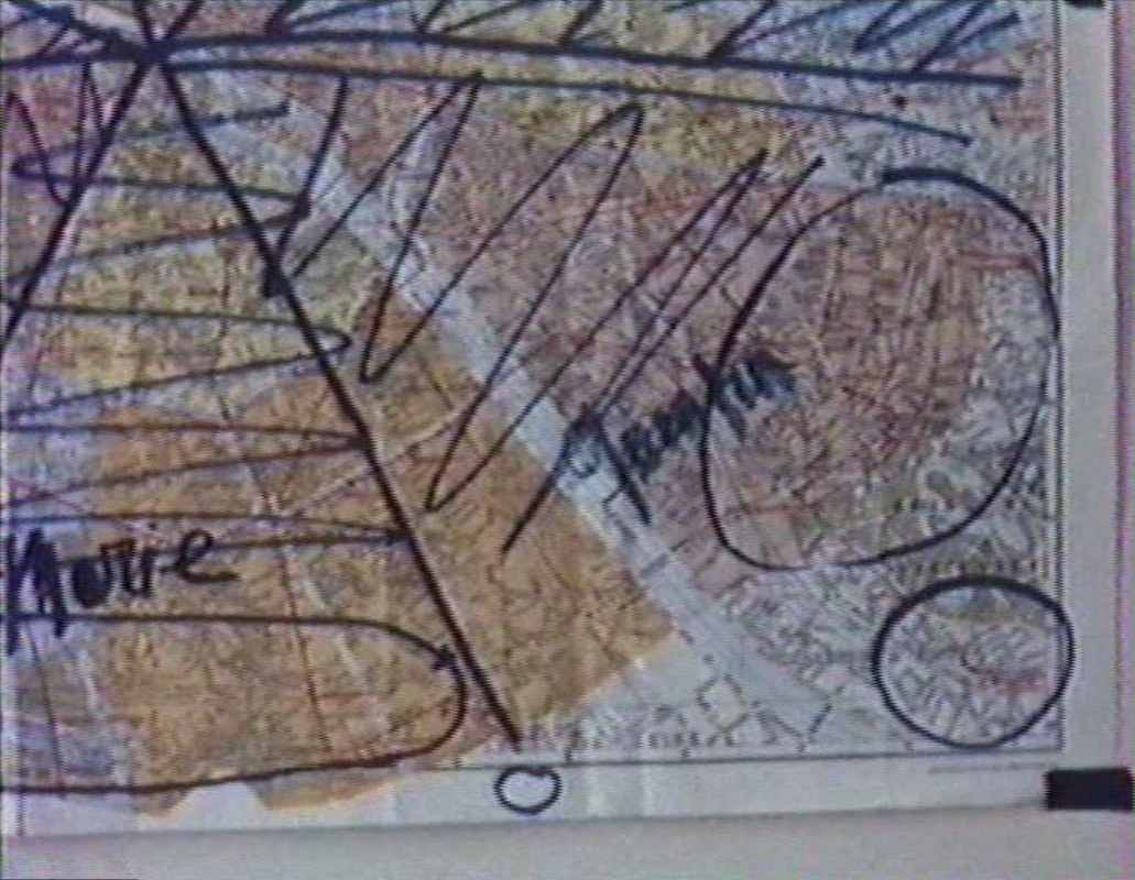 At the edges of the city there are also maps: 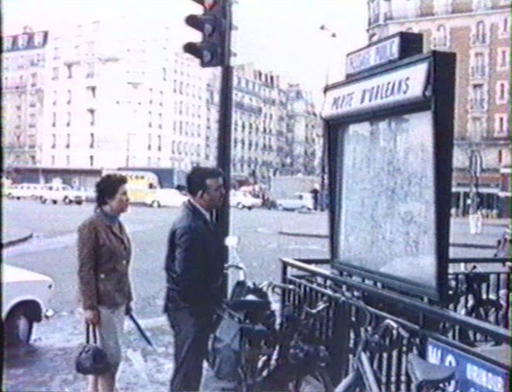 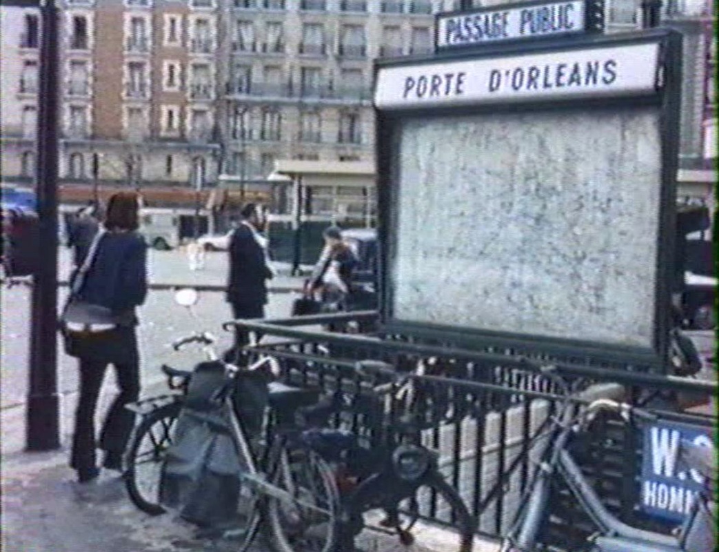 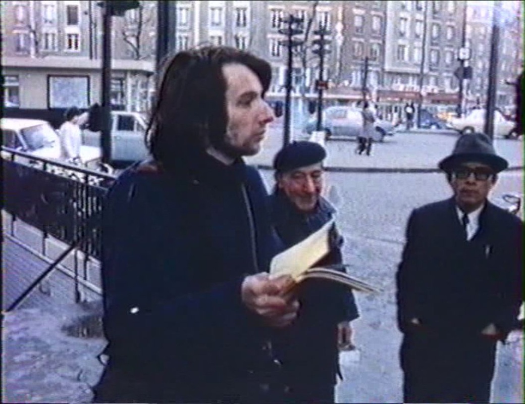 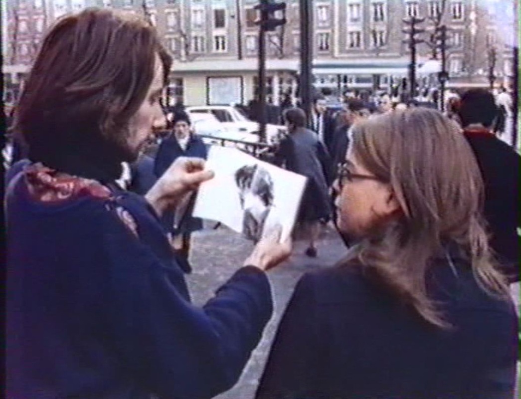 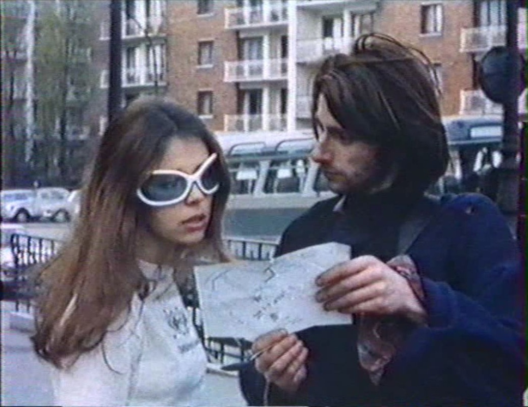 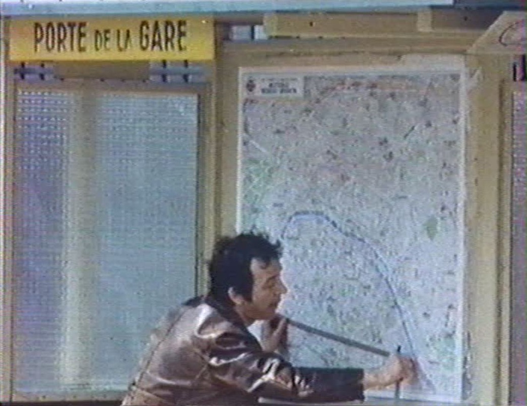 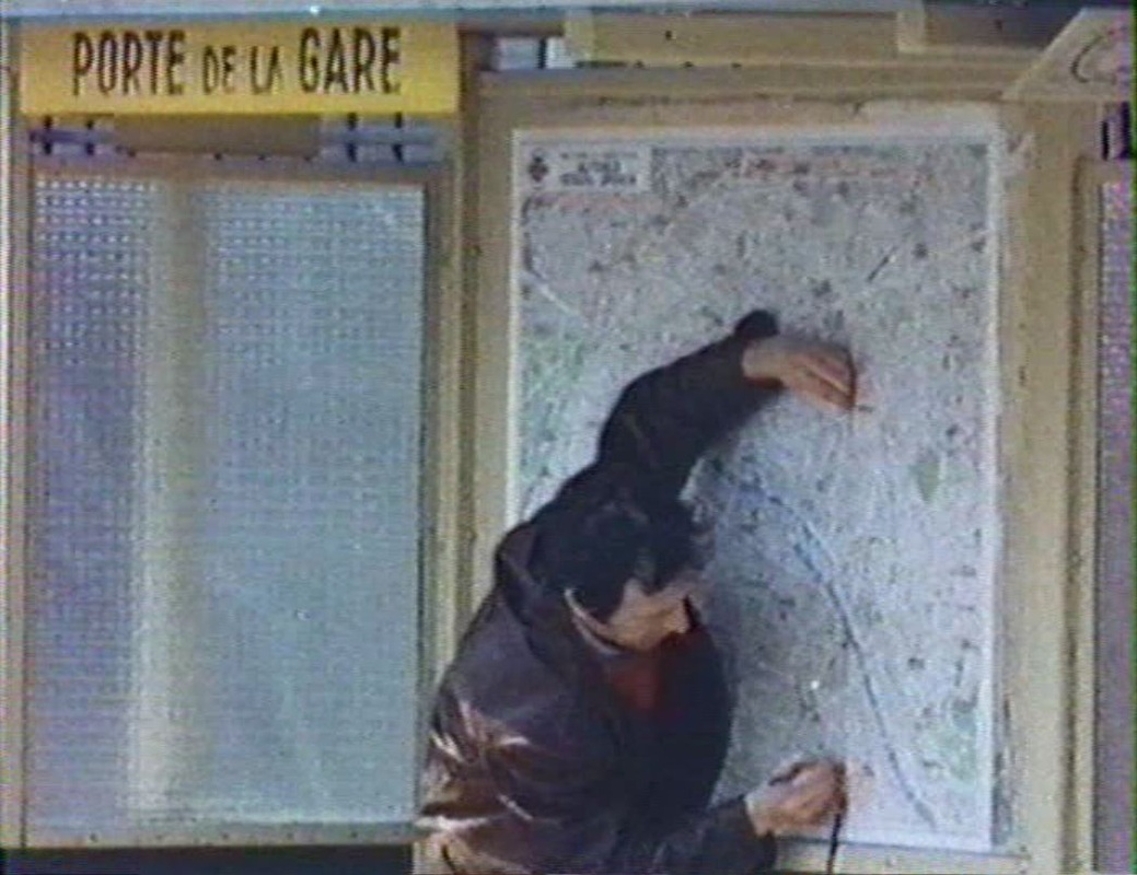 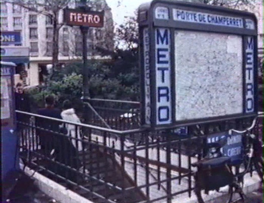 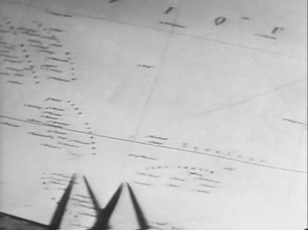
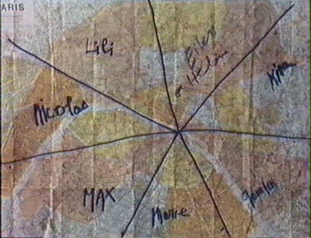
A different ocean, the Pacific, at the line between North and South. And the two other maps in the film. 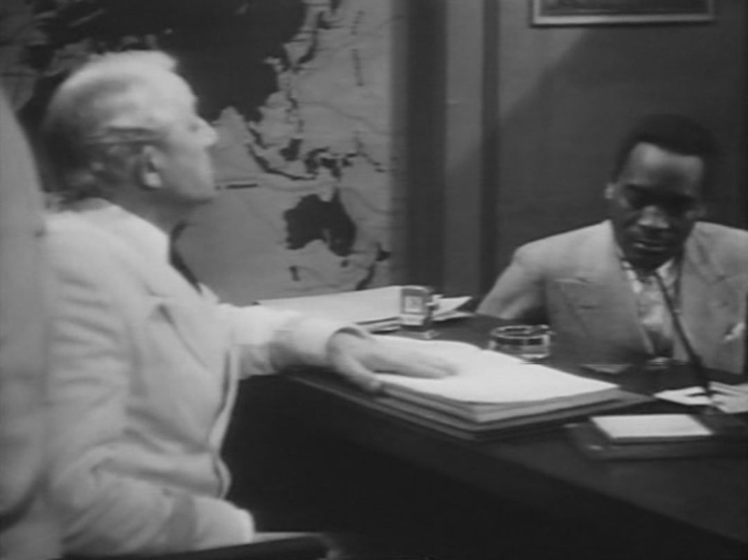
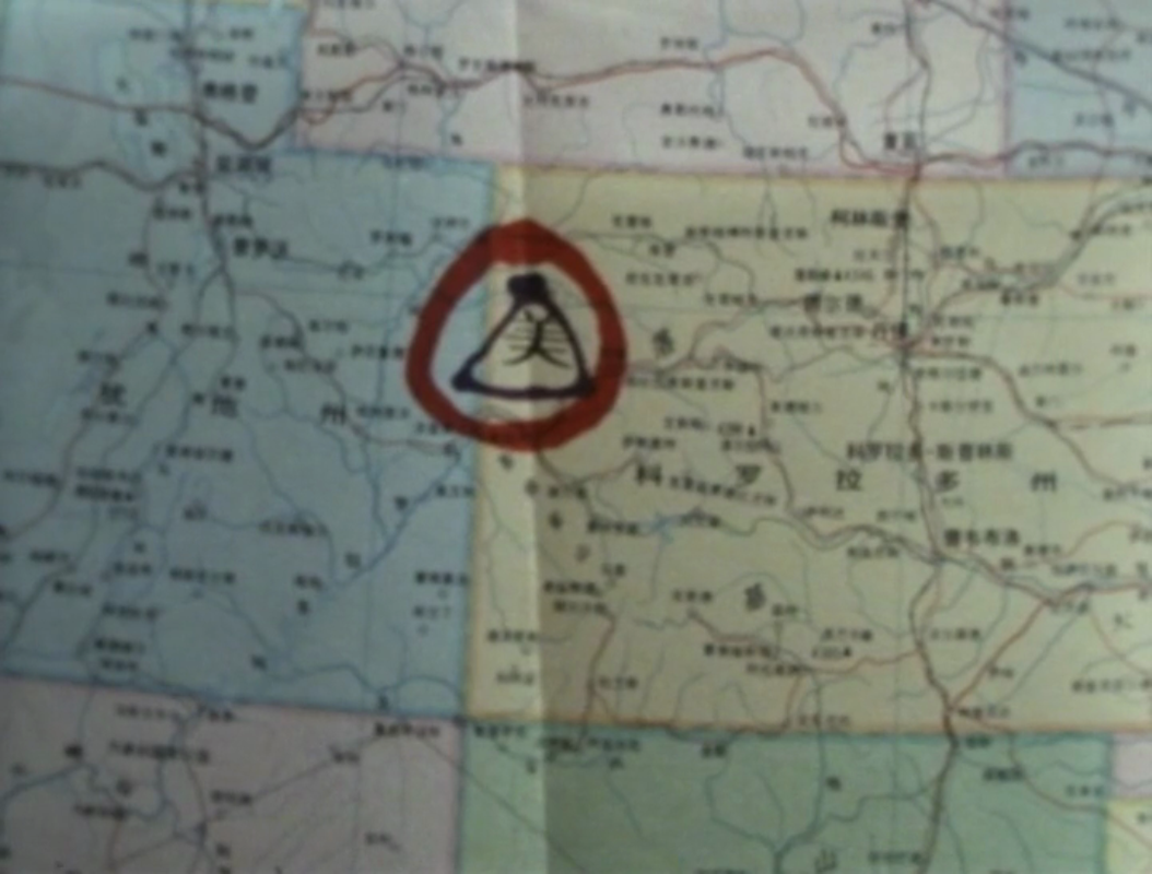
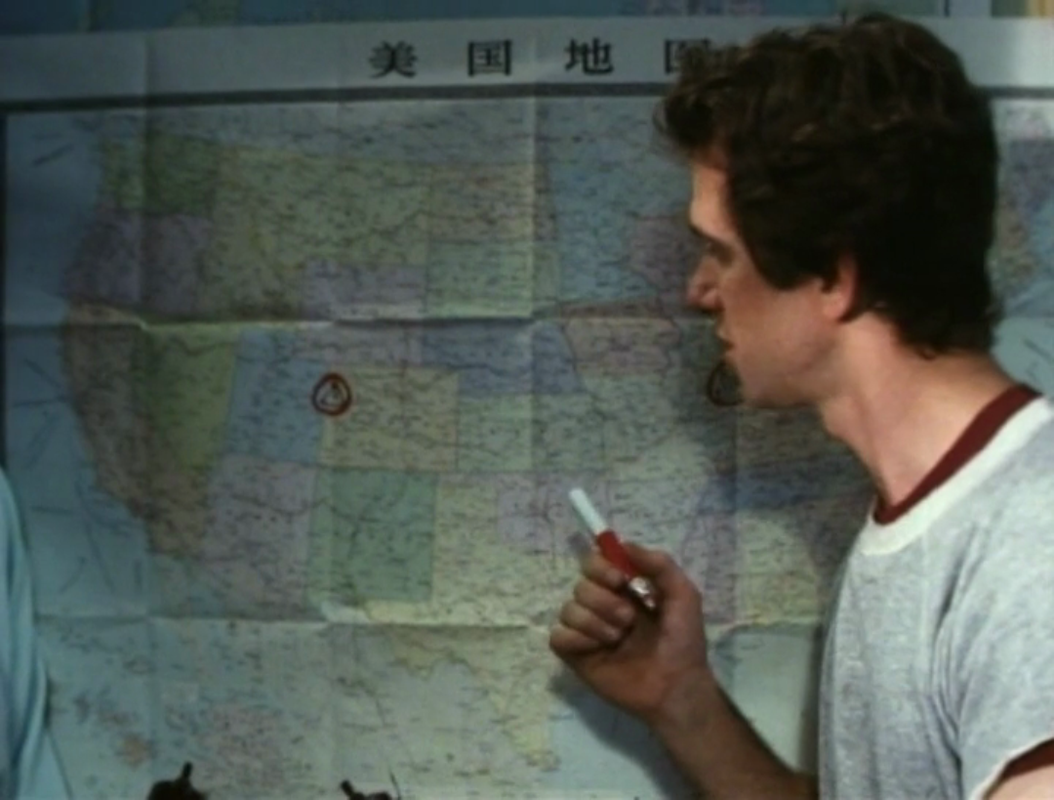
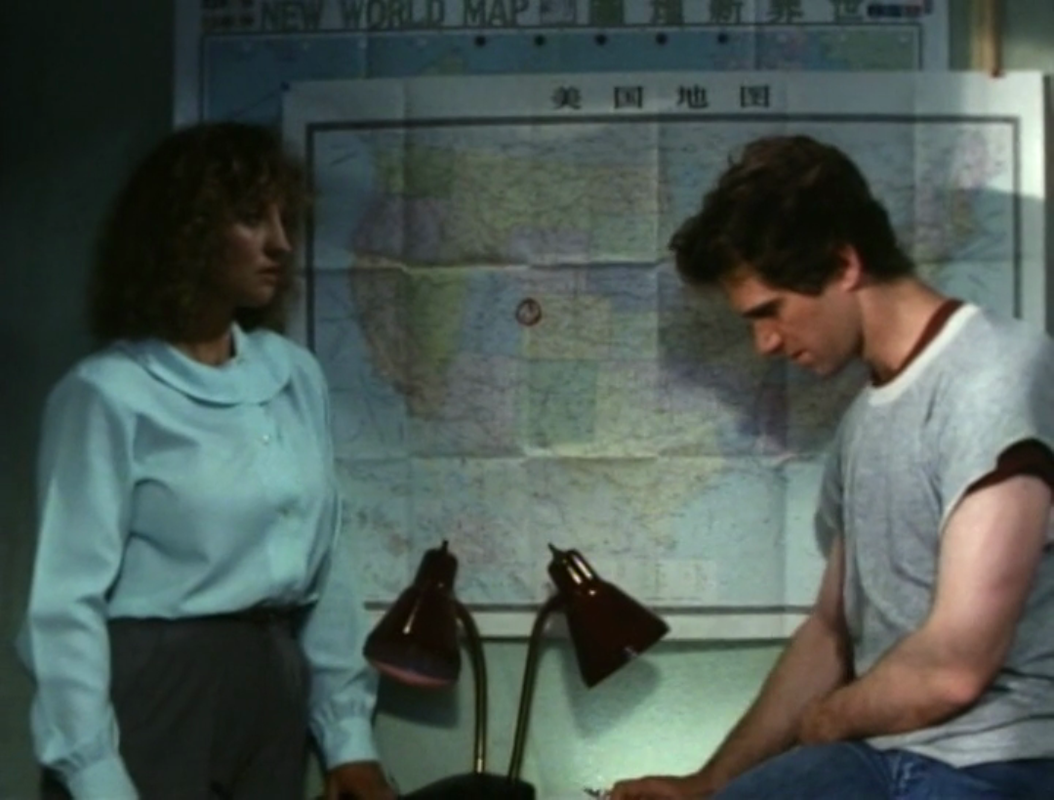
               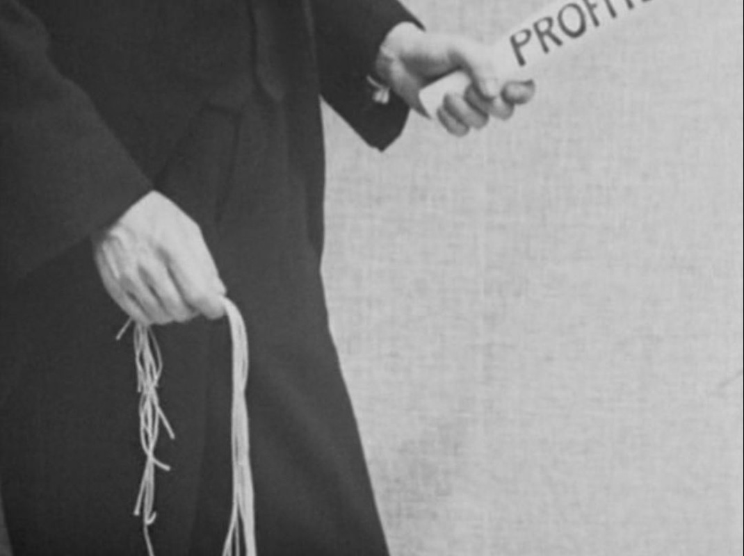 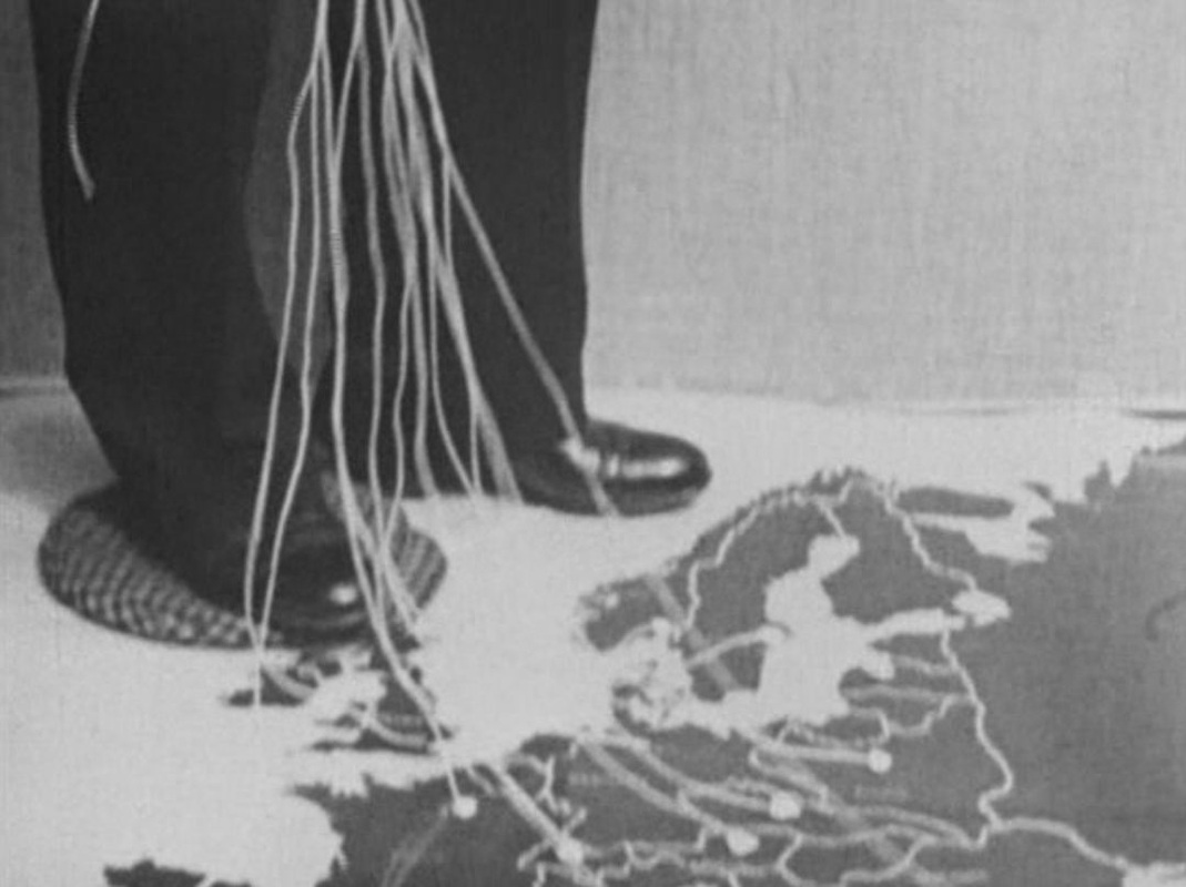 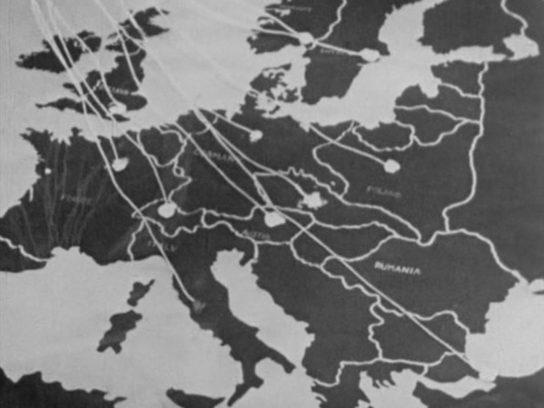 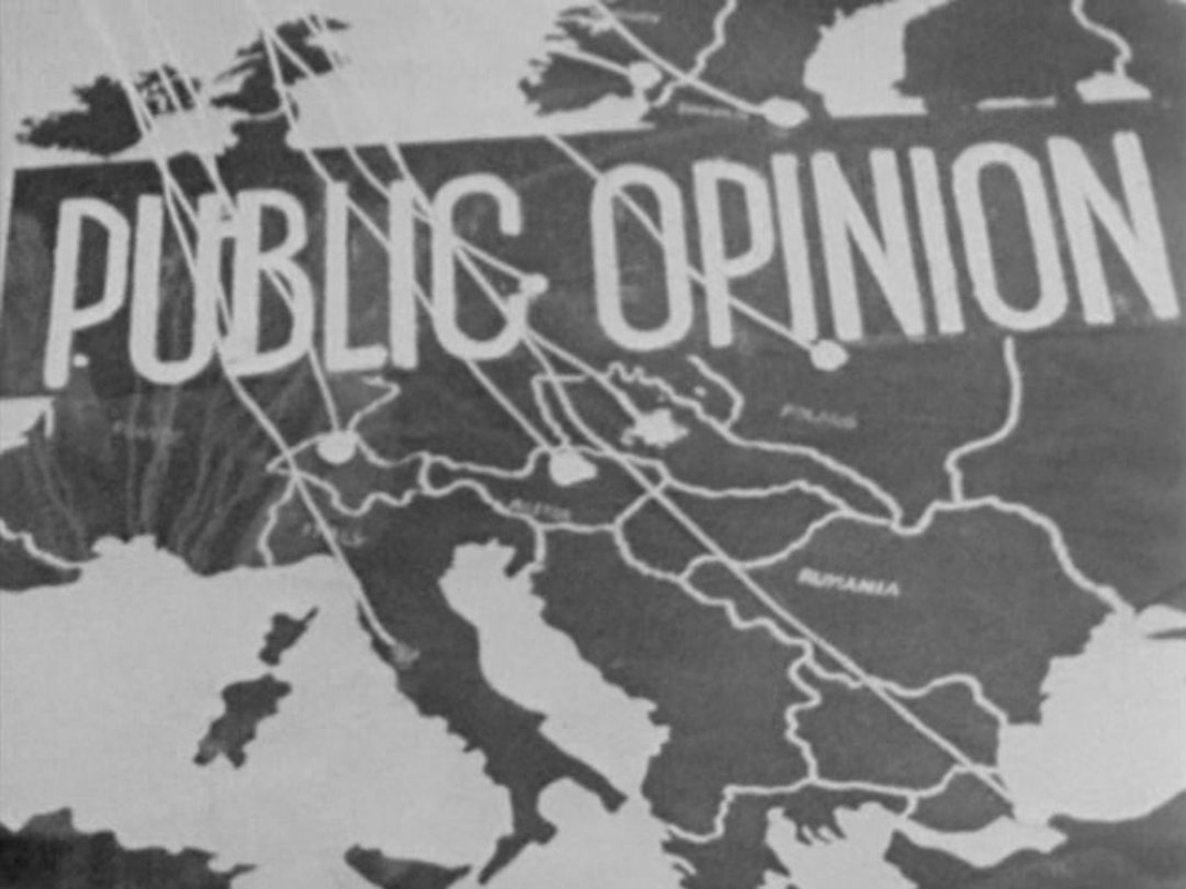      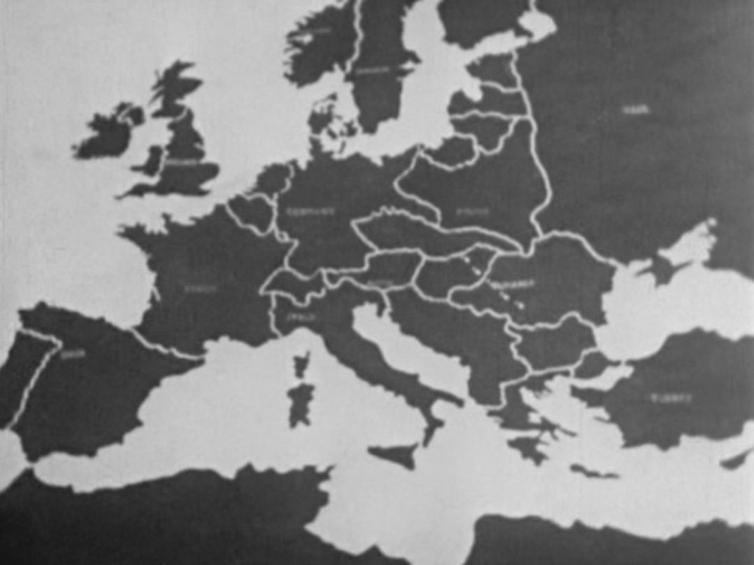 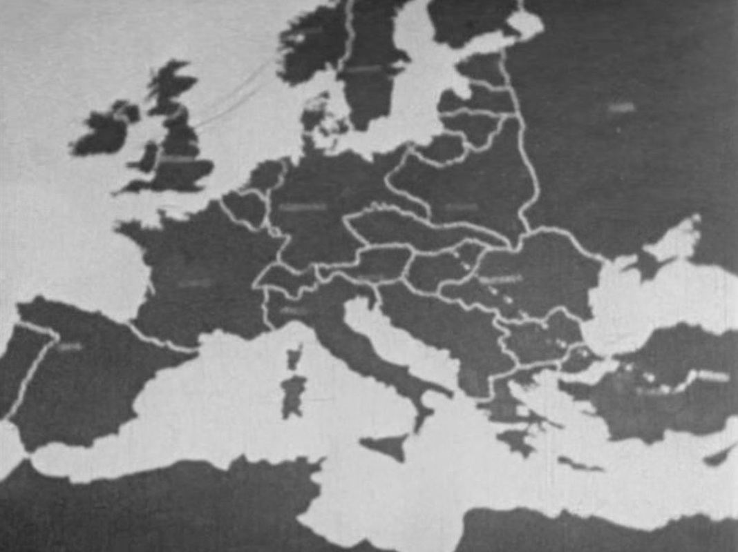 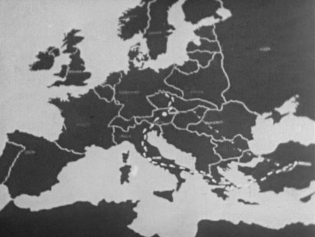     Where the message of an animated map is not self-explnatory, Biggar and Mclaren add a slogan:   Designed by Milton Glaser and Walter Bernard, the credit sequence of Sleepless In Seattle is very simple, the slow revelation from east to west of a map of the United States. The map combines the political and the physical, showing both states and mountains, and is shot from an angle rather than overhead. The curve of the horizon and the schematic arrangement of stars above the map suggest that this is a view of a planet (one on which the only distinguishing feature is the United States): 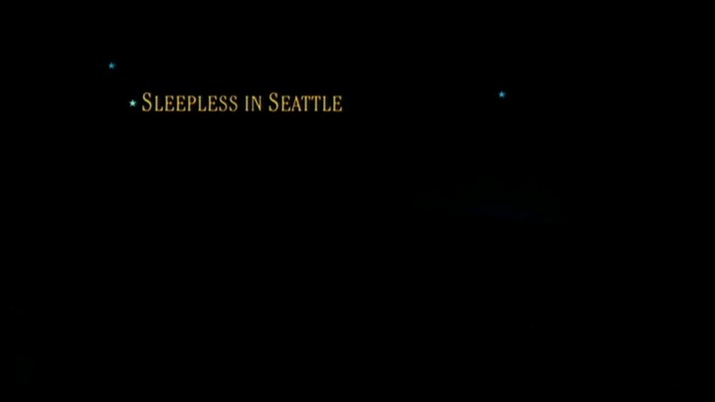 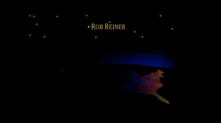 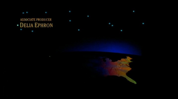 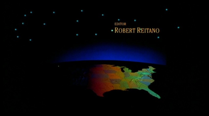 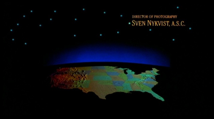 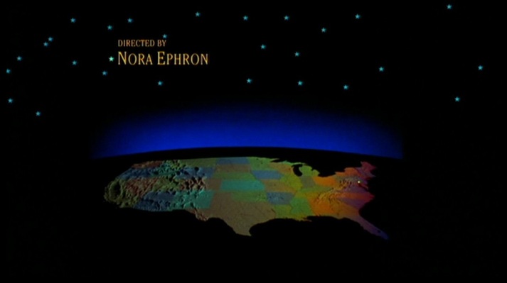 In different colours, the map returns periodically in the film as the basis of a graphic representation of characters' movements across the country: 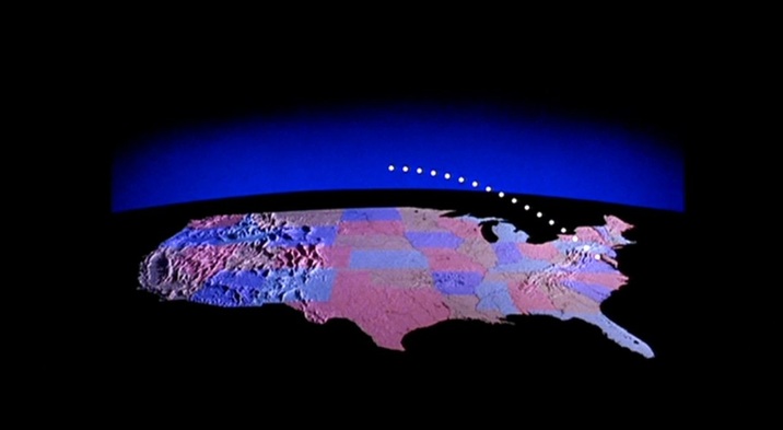 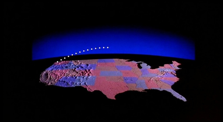  At the very end of the film a map appears, revealed as the camera withdraws slowly from a Manhattan of lights. The lights look like stars in a black sky, and as it grows distant New York comes to resemble a galaxy. Eventually, the whole of the Unites States is outlined by points of light,and the country becomes a constellation: 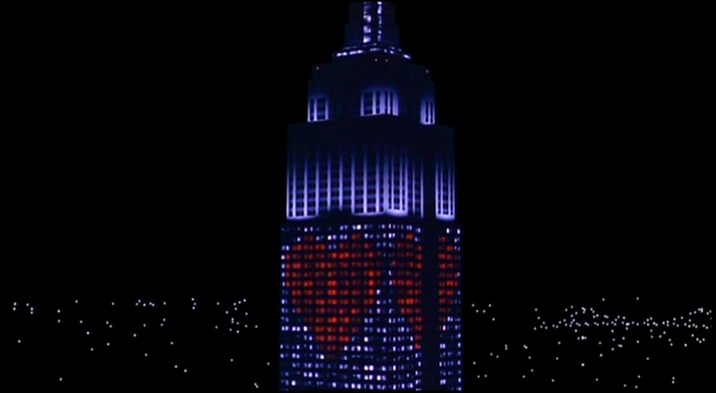 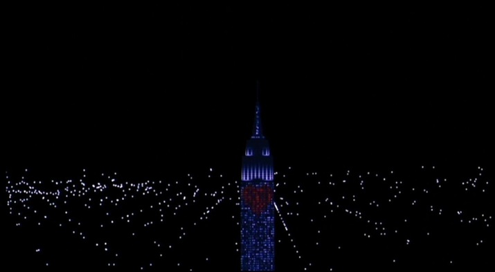 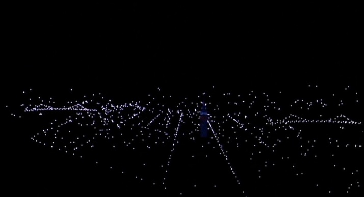           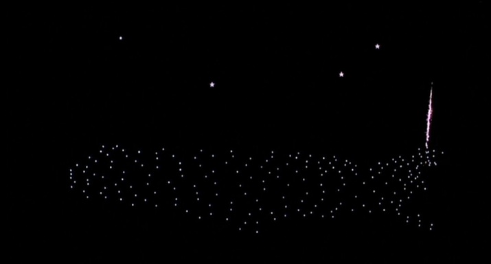 (I may have missed the point of joke being made, but to me this angled view of the United States makes the country look remarkably like a fish.) There are more conventional maps in the mise-en-scène. A protagonist discusses the geography of the United States with the aid of a wall map: 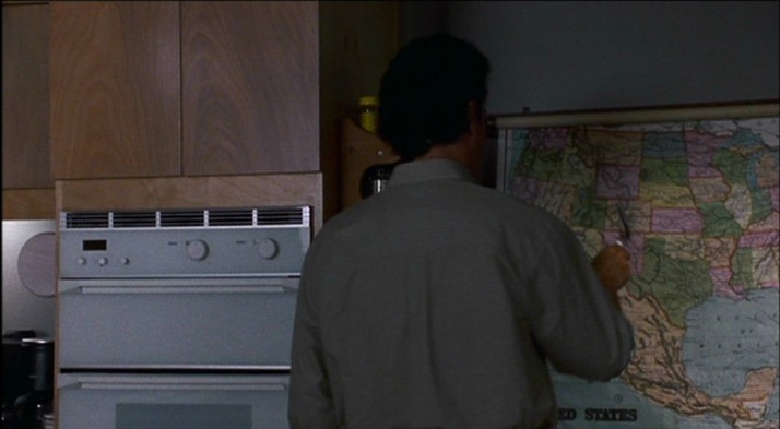 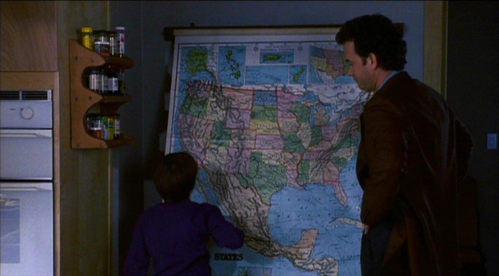 Another protagonist has a map of the city in which she works (Baltimore) on the wall of the office in which she works:   When she visits another city (Seattle), she consults a map of that city: 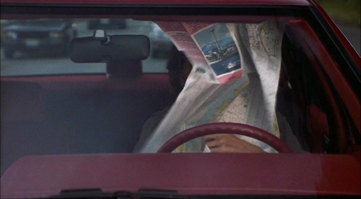 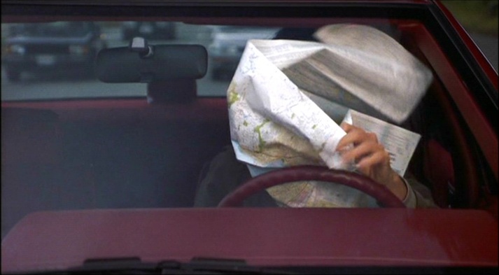 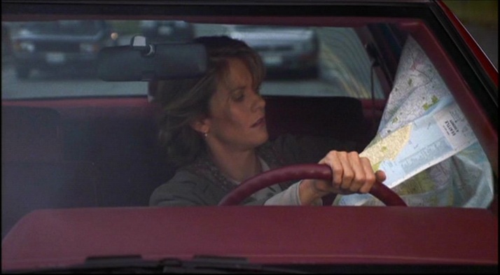 She also finds herself in front of a peculiarly decorated, spinning globe in a shop-window display: 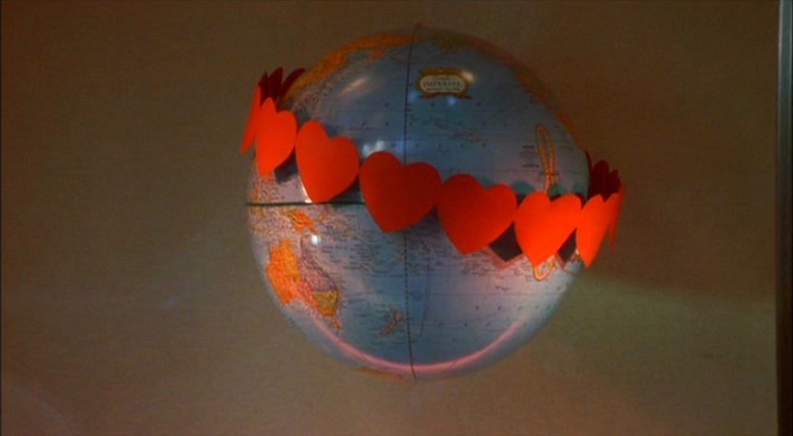 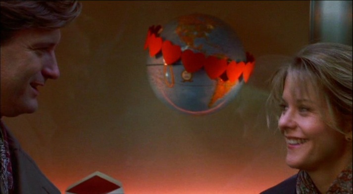 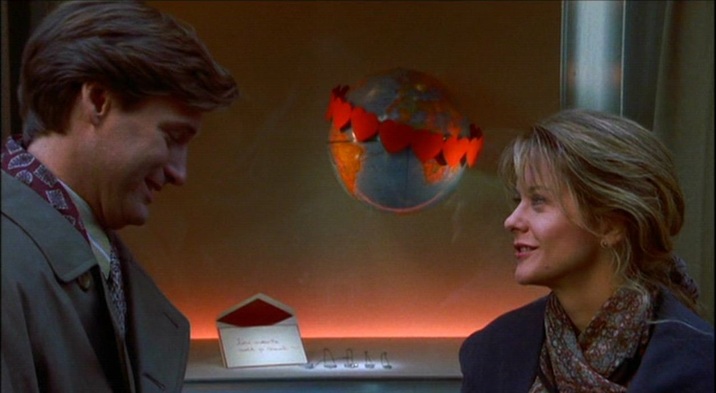 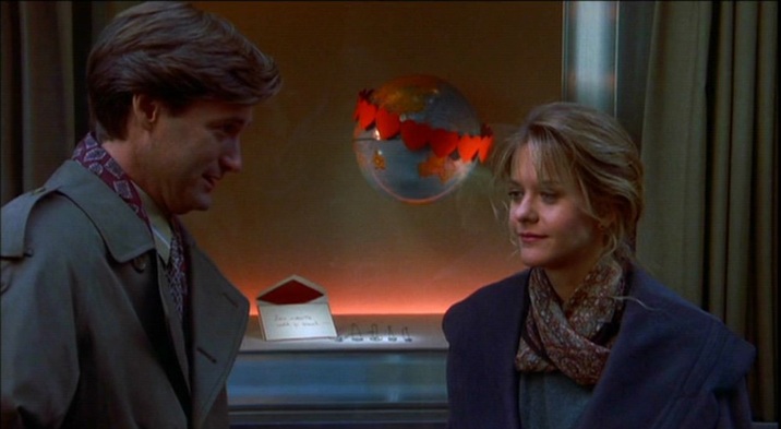 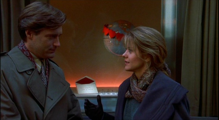  M’s outer office has the familiar wall maps that establish the global scale of MI6’s operations (see here for the first instance of this in the Bond canon): 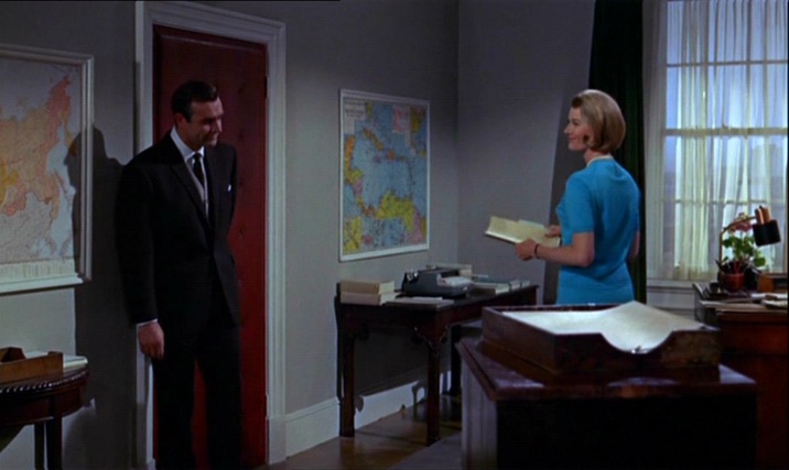 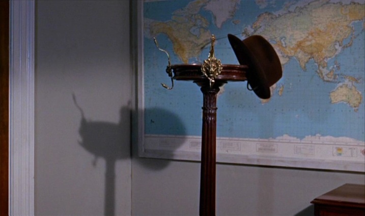 Bond’s in-car tracking device takes us from Stoke Park in Buckinghamshire to Southend Airport in Essex, then to Geneva. From there we go north (I can’t quite make out where), then on to Goldfinger’s factory between Stans and Stansstad, just south of Lucerne: 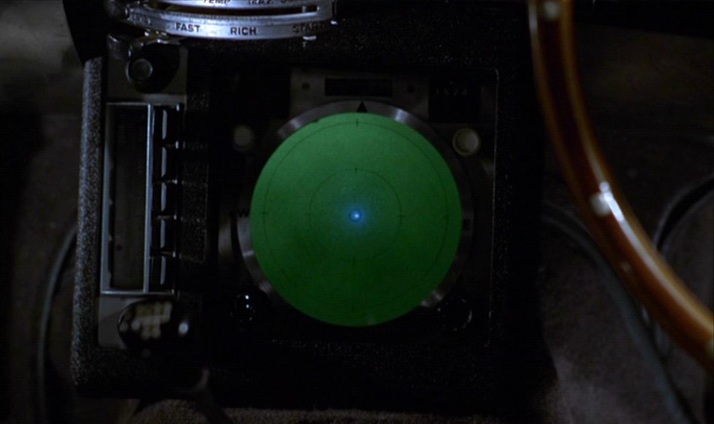 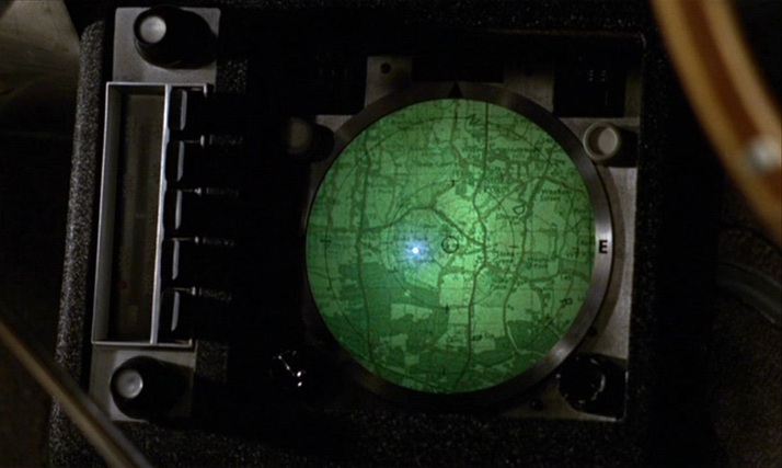 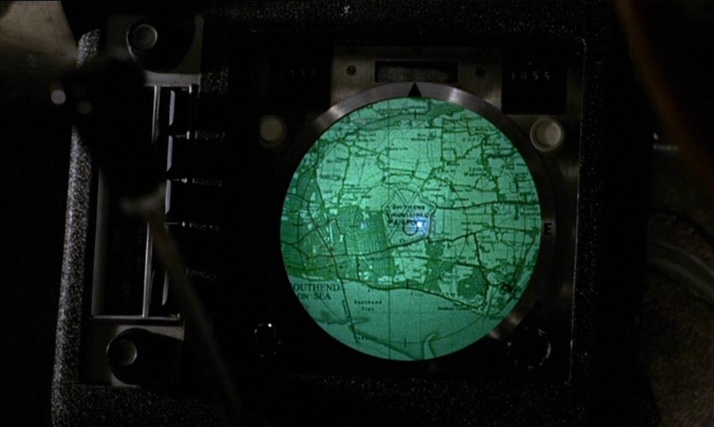 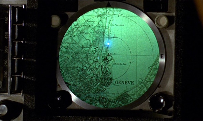 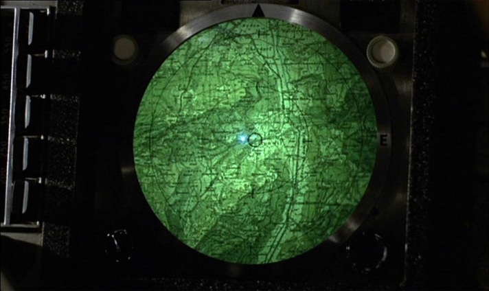 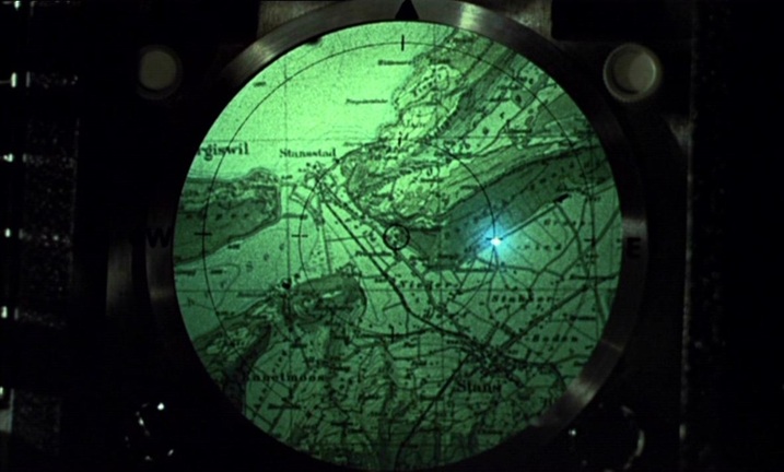 When the film cuts from the device to the terrain it represents, an irony is apparent in the contrast of horizontal (the map) and vertical (the mountains). Plotted against each other, you get the diagonal lines of one of cinema’s more famous mountain sequences: 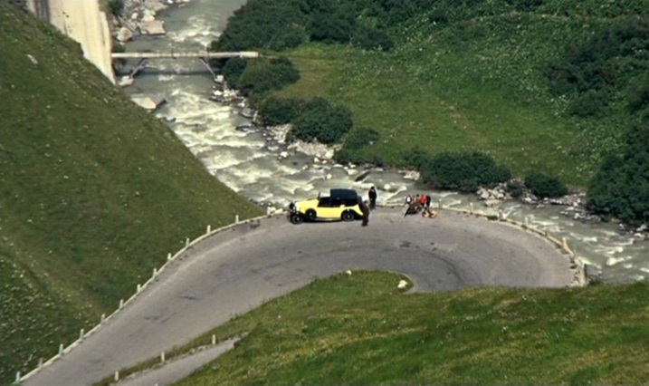 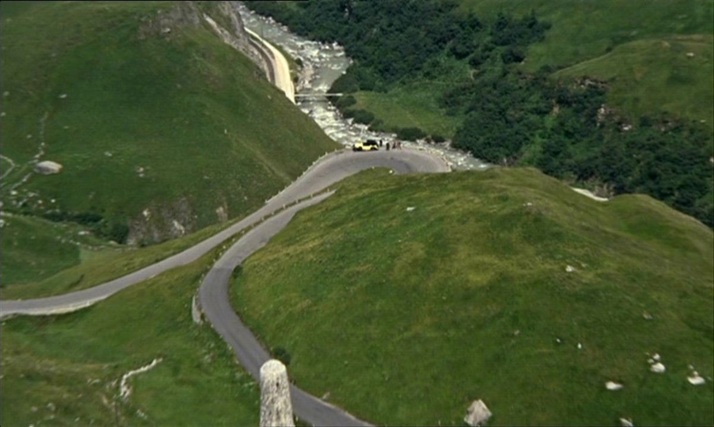 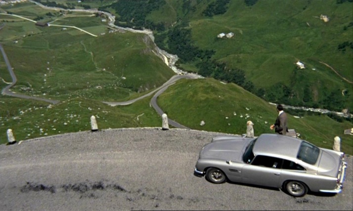 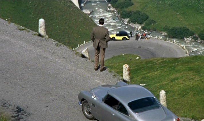  A similar tracking device later shows us the vicinity of Goldfinger’s lair near Fort Knox (Kentucky), but the efforts of the US agents to follow the plot on it are thwarted by Oddjob, and the device breaks down when the car it is tracking is crushed. 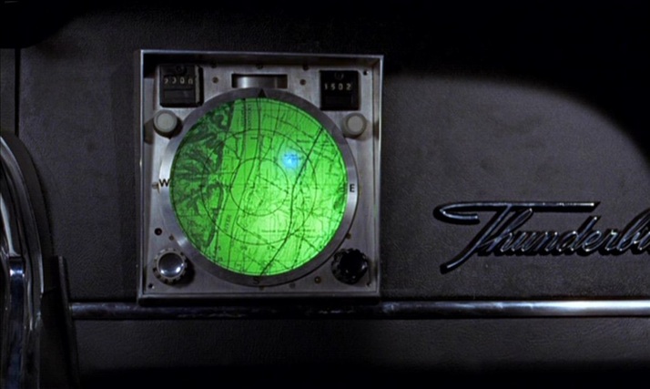 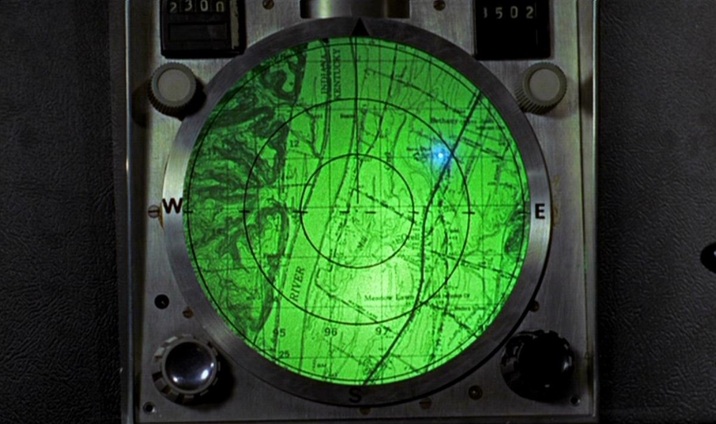 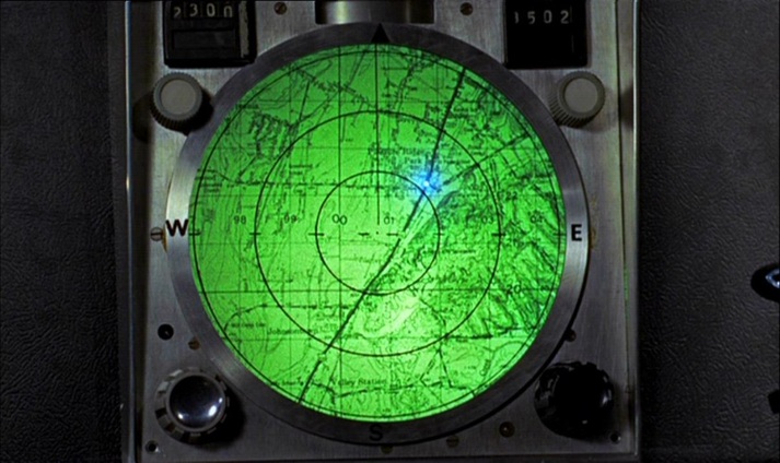 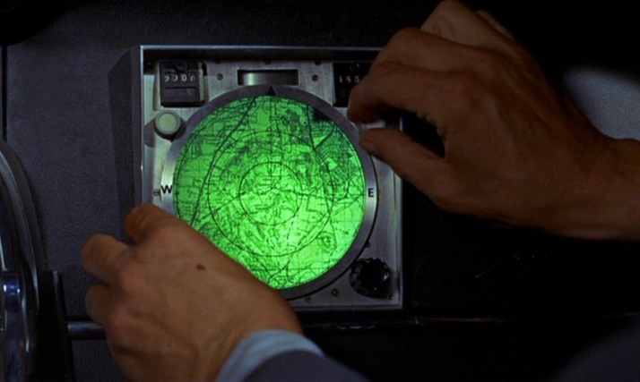 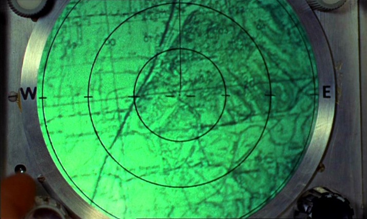 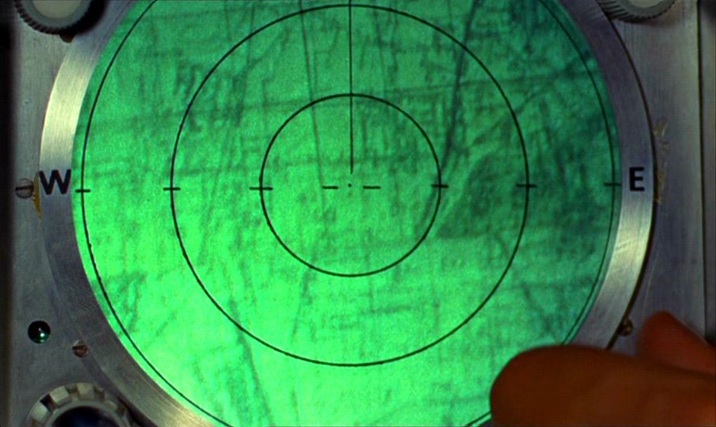 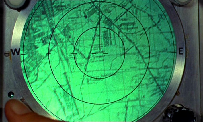 Unlike the lairs of so many other such villains, Goldfinger’s does not have large wall maps as décor. He has two smaller, horizontally placed maps at his desk but, as expressions of his power over the world through representation, his preferred alternatives to mapping are the aerial photograph and the scale model: 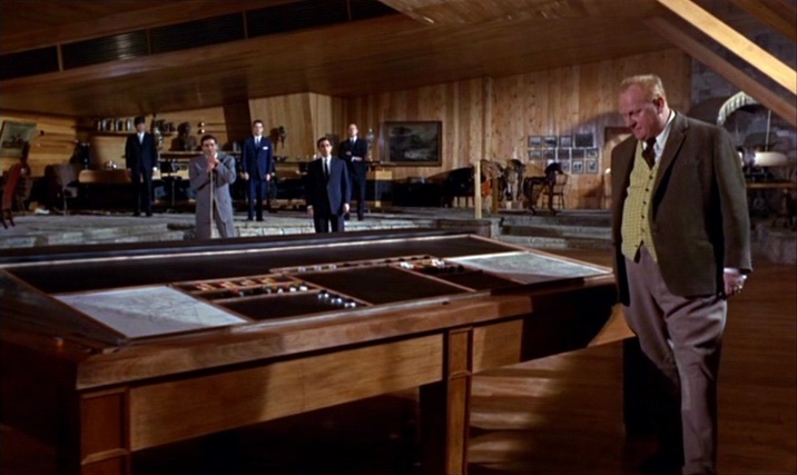 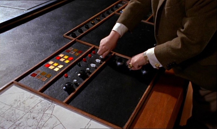 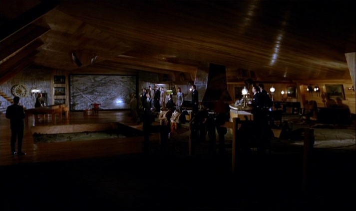 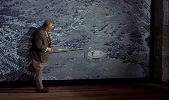 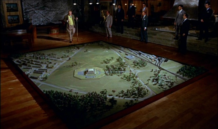 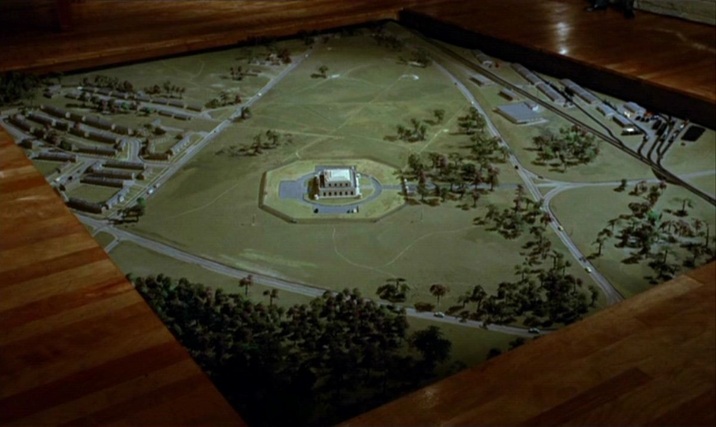 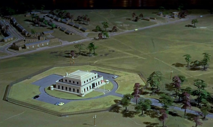 (Goldfinger is at one here with the film’s liking for aerial views.)  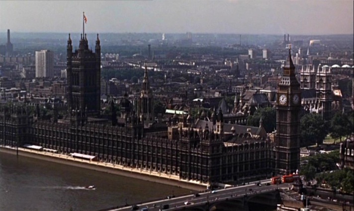 The film’s cartographic configurations conclude with the tracing of a vertical trajectory, as Bond and Pussy Galore parachute from a plane: 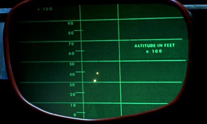 For further comment on the spatial machinery of this film, see: (e)space & fiction
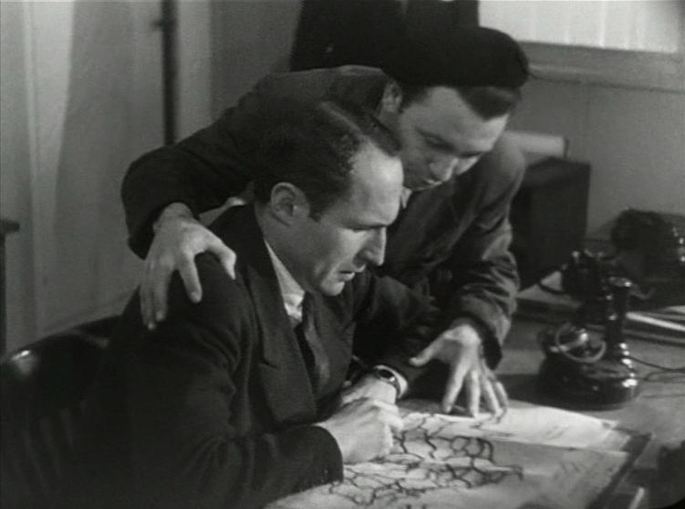 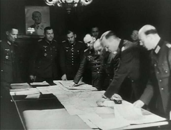       ‘The long section devoted to the German convoy, for example, starts with a shot of the Resistance leader looking at a map, cuts to the German command looking at another map, cuts to the Transport Kommandantur, where two German officers consider a railway map and then fades to the same map, but this time being studied by two Frenchmen. The montage and continuities of content clearly establish an equivalence between the German and French leaderships. This equivalence will be underscored by subsequent cross-cutting between the two commands.’ Martin O’Shaughnessy, ‘La Bataille du rail: Unconventional Form, Conventional Image?’, in Nancy Wood & Rod Kedward (eds), The Libertation of France: Image and Event (Oxford: Berg, 1995), pp.20-21. 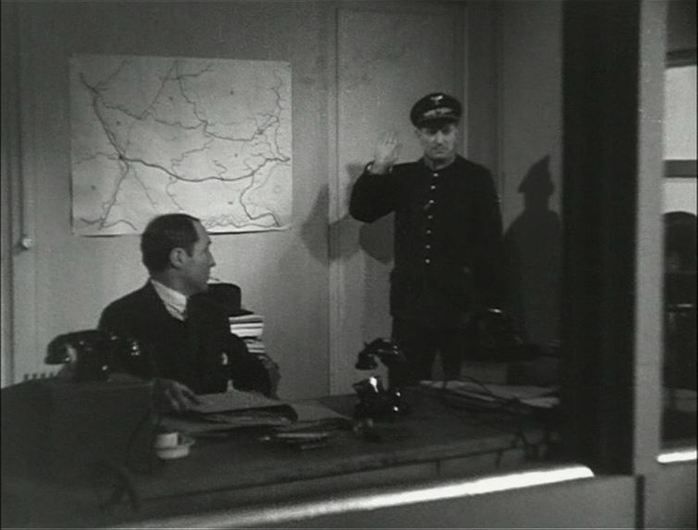 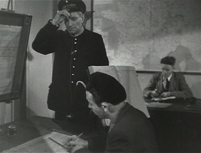  Hervé ('VR2000'): 'Loading up' means retrieving heavy objects people get rid of. To do so, town councils and city halls provide small maps such as this one. It shows all the streets, the districts and the days on which one can go and pick them up. Varda: I think the maps show where to dump things rather. Hervé: Yes, right, well, I read the map my own way because that's where I find my raw material. I am, among other things, a painter and a retriever. Some other maps in Varda's film:    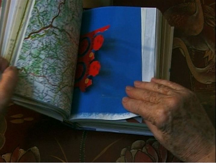 Deux ans après 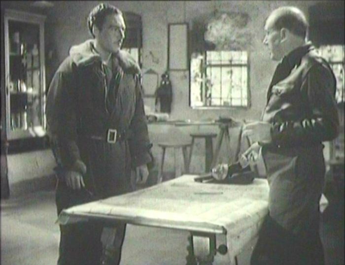 The only maps in Espoir are in an operational headquarters. An early sequence, three minutes in, establishes the interpretation of maps as a key to military strategy. 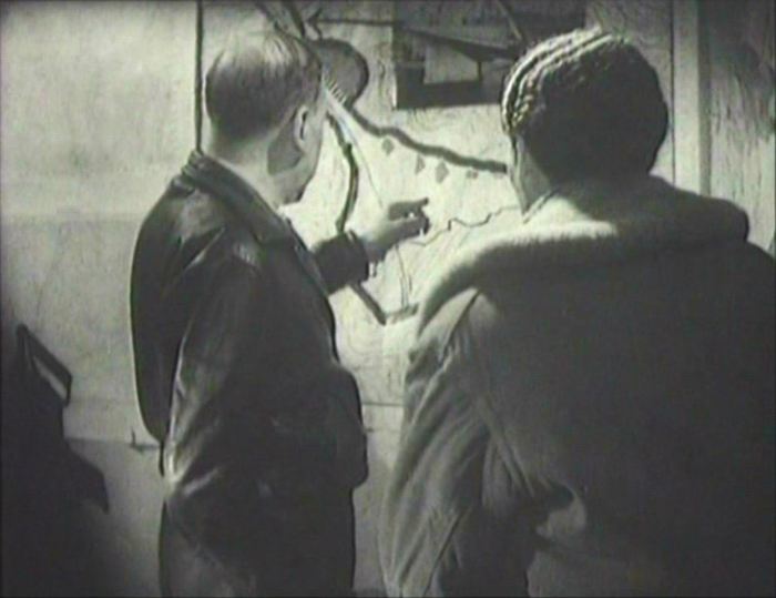 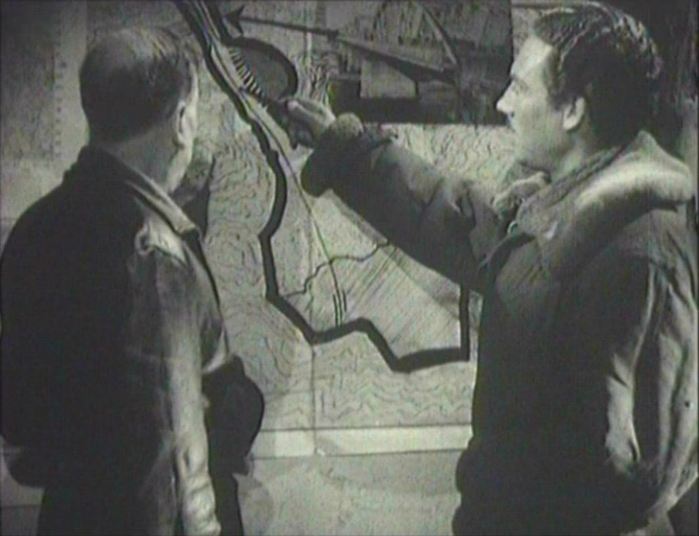 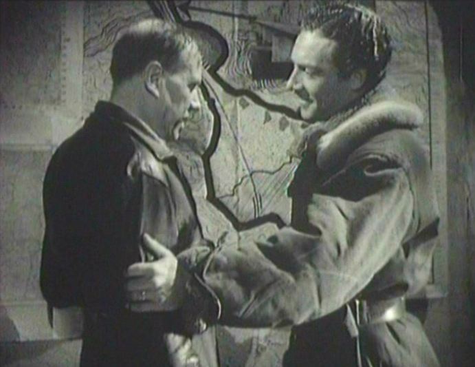 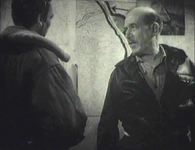 Later, a local who has specific knowwlege of an enemy base, but no knowledge of maps, isn't able to point to the place on a map. 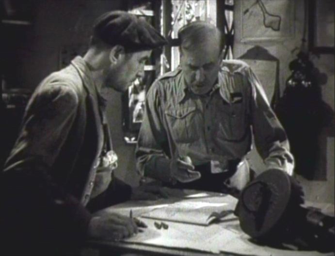 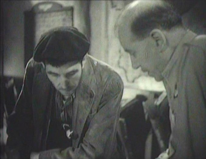  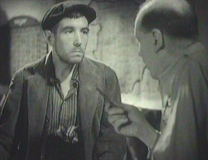 As a consequence, he has to go with the bomber crew so that he can point to it in reality. Viewing his world from the air for the first time, the terrain is as unfamiliar and unreadable as the map, and it seems the mission will have to be aborted. But finally, in a moment of apotheosis, he is able to say: ‘it is there’, and the mission can be accomplished. 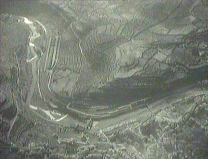 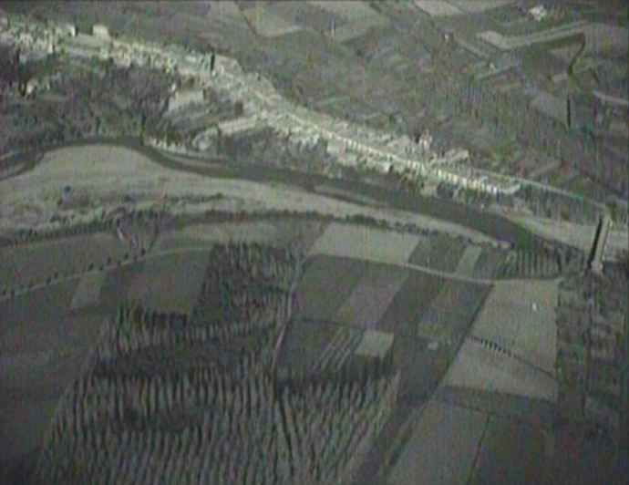 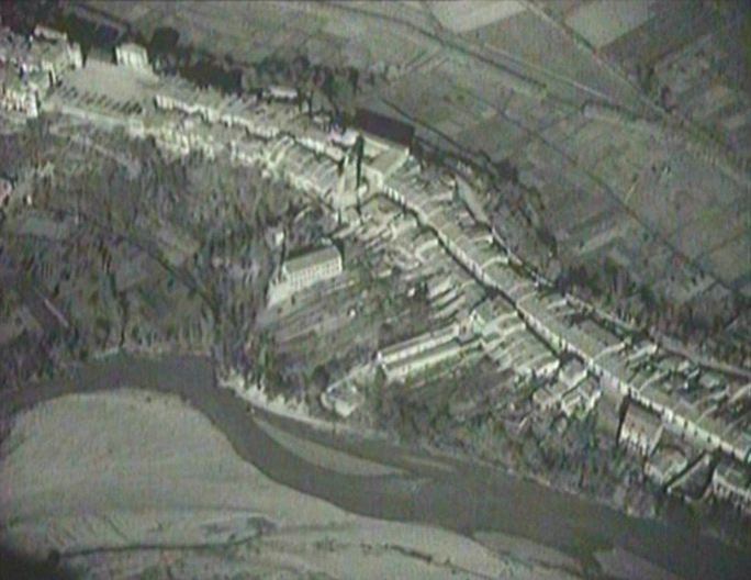 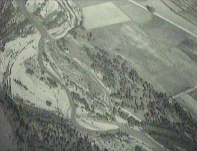 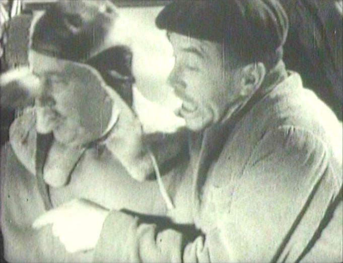 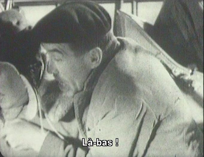      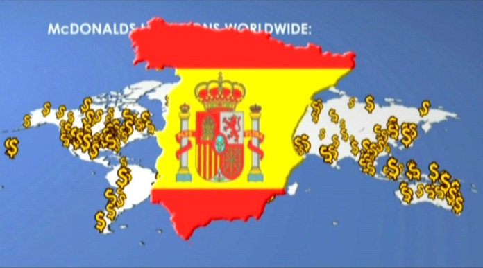 Animated maps to illustrate a point are common in documentaries (hence their use in the 'News on the March' section of Citizen Kane), and Super Size Me has three striking instances. Spurlock also, however, 'animates' a map profilmically by progressively sticking flags and then photographs onto a map of Manhattan: 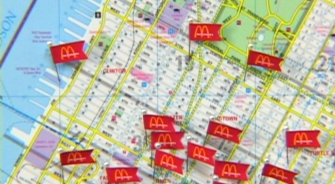 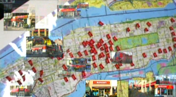 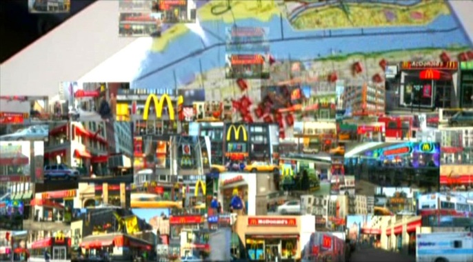 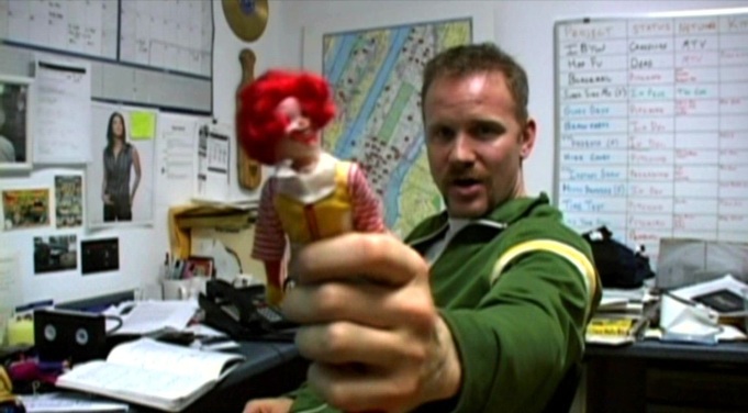   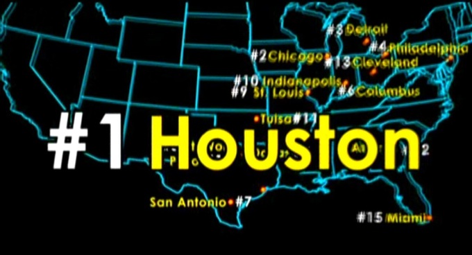     ‘In the breakneck idiom of 1930s "infotainment," intertitles are blended with other graphic images — animated maps, photos, newspaper headlines — and with a wide variety of "archival" footage. Cut for maximum visual dynamics, spatial transpositions are accomplished by wipes, by sudden camera movements and object movements. For instance, a title card: "In its humble beginnings," introduces the development of the Kane press empire. In the next shot, an Inquirer truck races across the extreme foreground; as it passes the camera it exposes a deep view of the original newspaper building. A cut returns us to the flat image of a map with blinking lights to designate corporate growth. We then see a long shot of a grocery store that is interrupted by a passing car, this time compressing the space of the image. In the following shot in a papermill a roll of paper is thrust right at the camera from the extreme background. Without belaboring the point, there is a concerted effort in this sequence to activate the viewer's capacity to assimilate and respond kinesthetically to rapid alterations in represented depth.’ Paul Arthur, ‘Out of the Depths: Citizen Kane, Modernism and the Avant-Garde Impulse’, in Ronald Gottesman (ed.), Perspectives on Citizen Kane (1996), p.373. 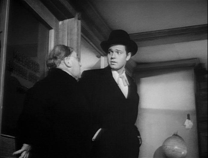 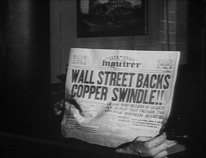 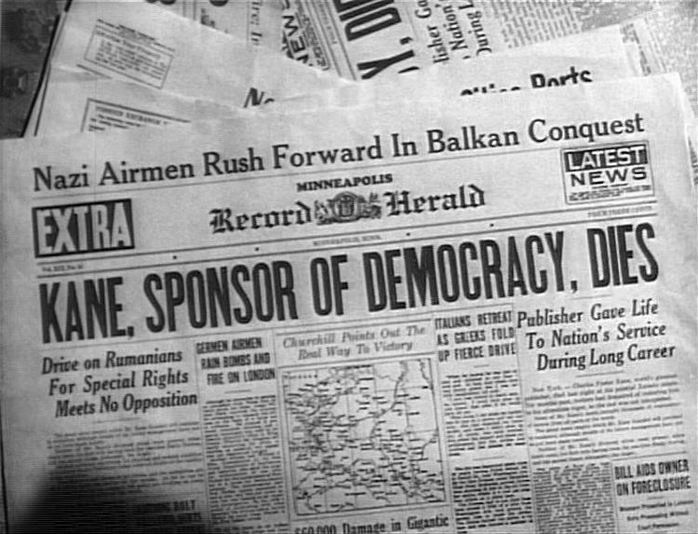  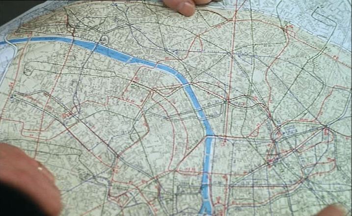 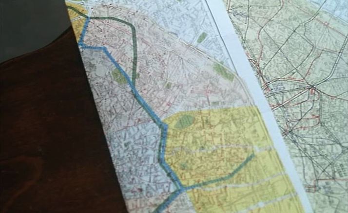  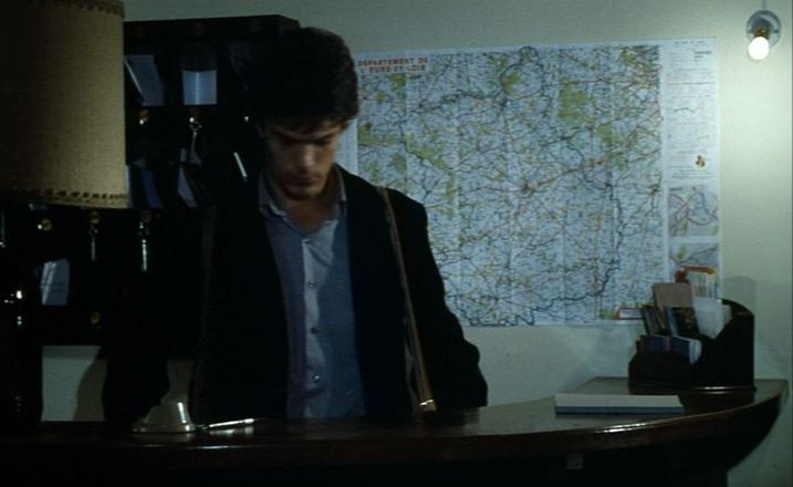 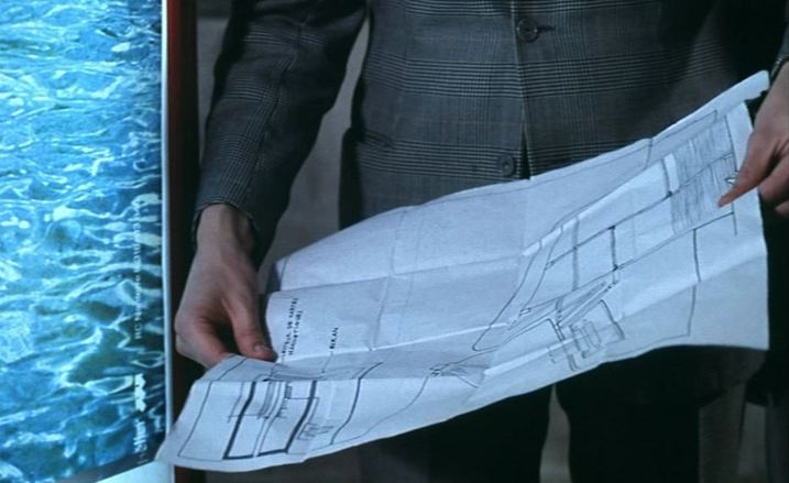 ‘A film is not its shots, but the way they have been joined. As a general once told me, a battle often occurs at the point where two maps touch.’ Robert Bresson, ‘Encountering Robert Bresson’, interview with Charles Thomas Samuels, republished in The Films of Robert Bresson: Casebook (London: Anthem, 2009), p. 96. Below are more maps from Bresson films.  Le Diable probablement   Quatre nuits d'un rêveur 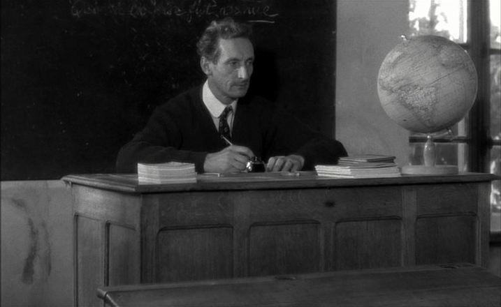 Au hasard Balthasar 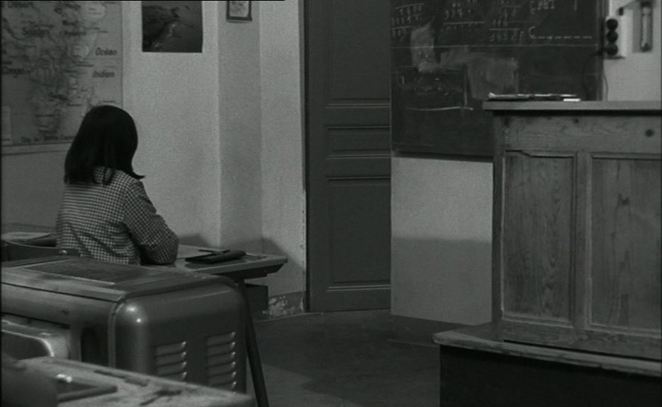  Pickpocket 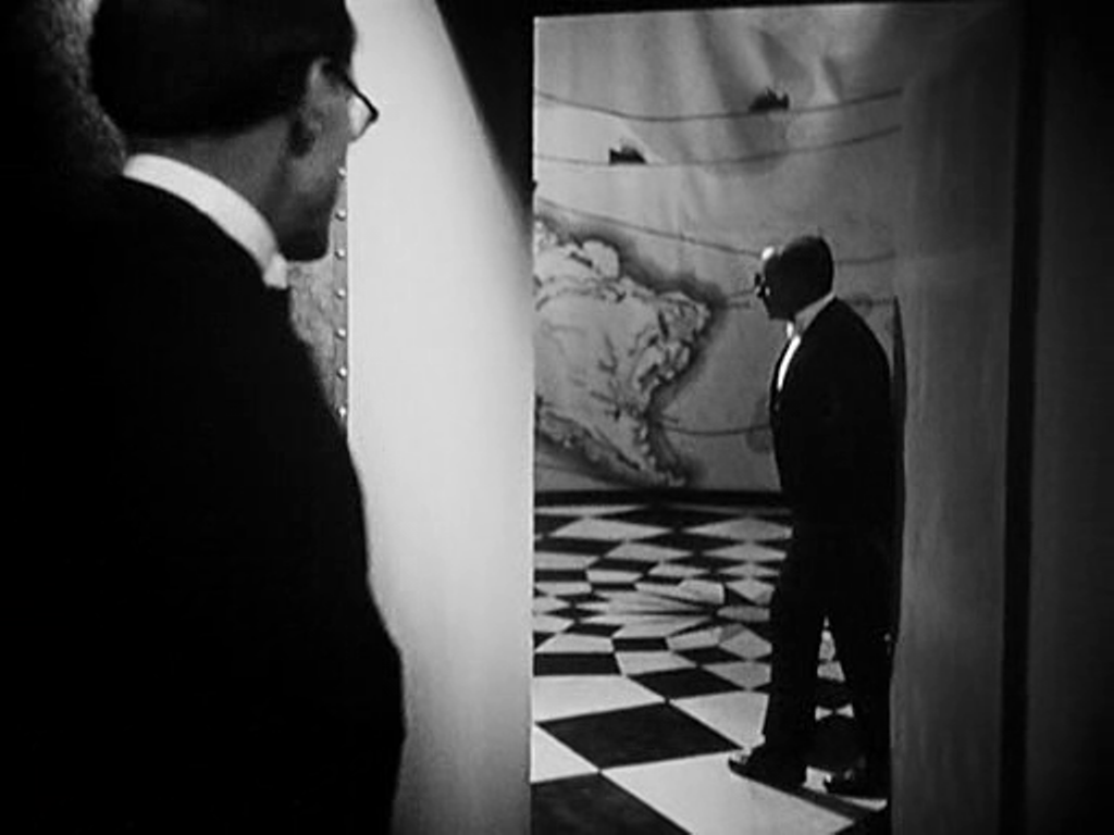   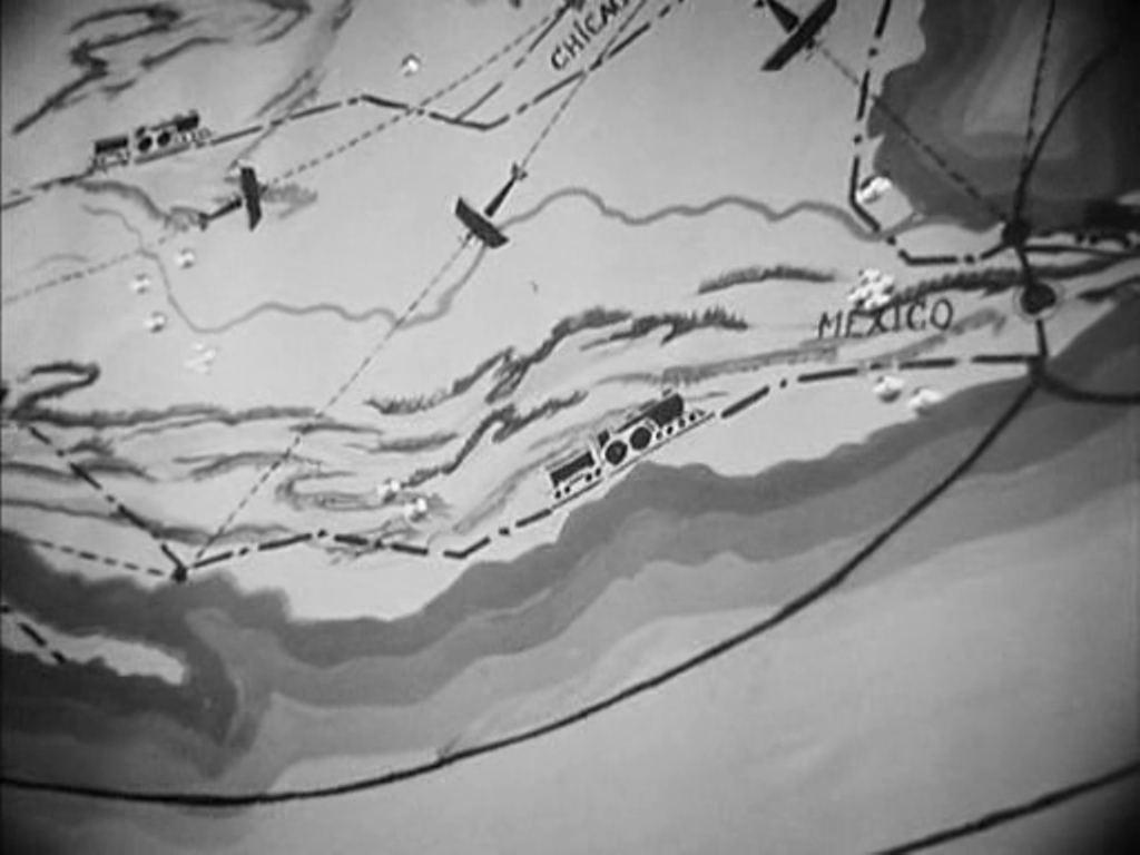 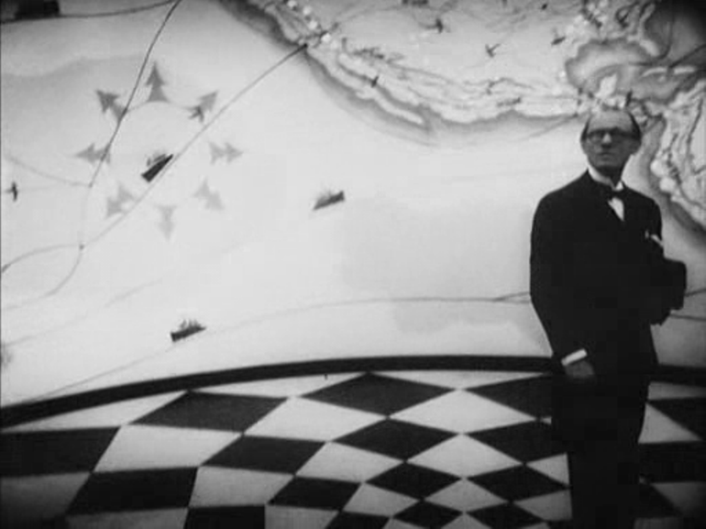 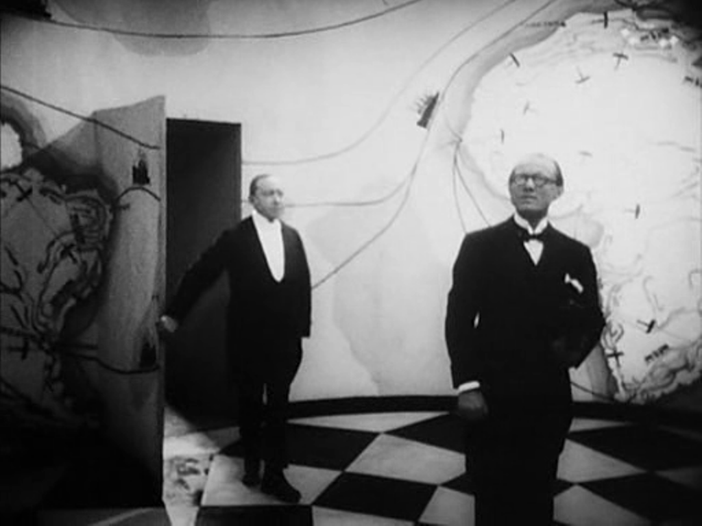 Of the five spaces in which maps figure in L'Argent, the first is the most spectacular. We follow an agent of the banker Gundermann as he is led by a butler into an antechamber decorated to represent the reach of the banker's power. In combination with the cinematography, this mise-en-scène also displays the distorting, disorienting force of money. The second space is more conventional: in their modest apartment. the naive adventurer hero Hamelin and his wife Line examine a map of the Americas, though it becomes a mere backdrop to the expression of their love for each other. 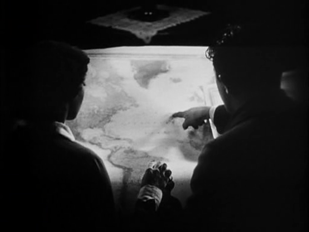    Later, in the same space, Hamelin explains his plans to the banker Saccard, with a view of a more detailed map of the region that Hamelin proposes to exploit for oil. We first see the scene diffusely, in a mirror, before passing to two readable mapshots.   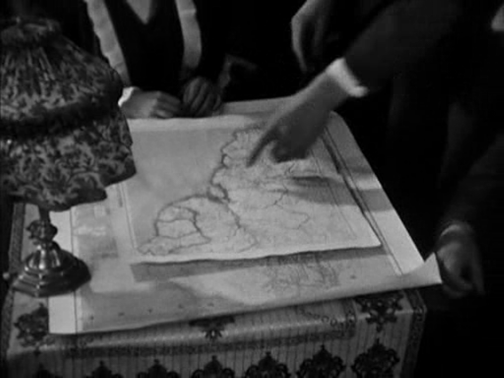 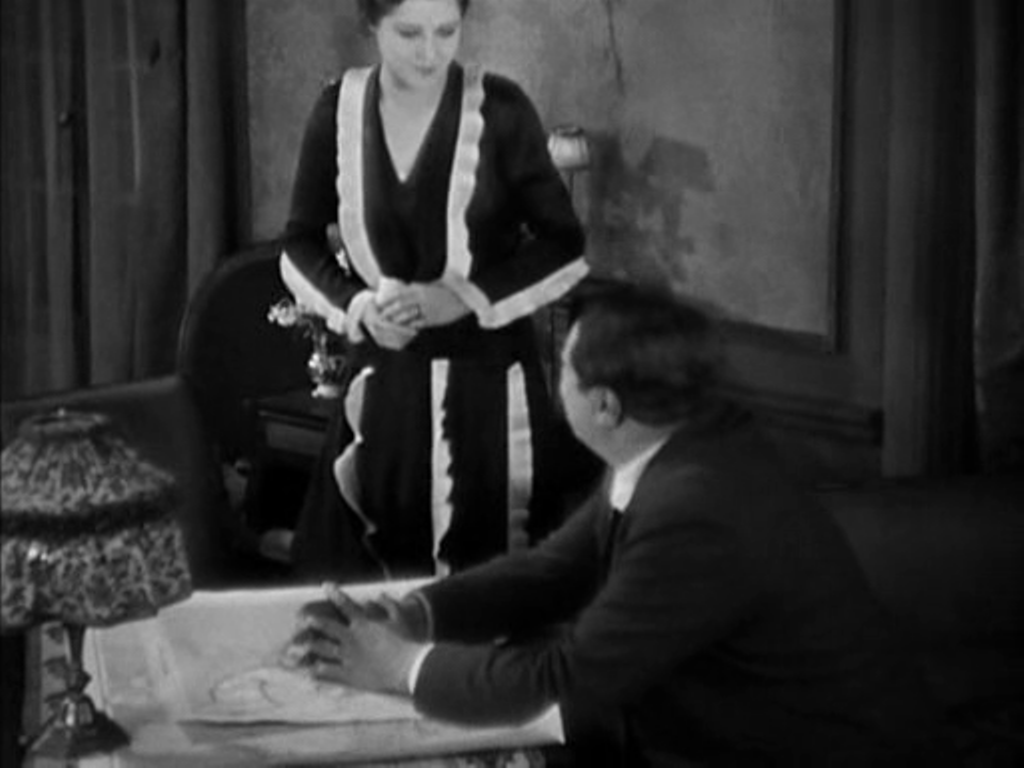 Next, in a room at the airport from which Hamelin will take off on a solo flight across the Atlantic, Line looks on in terror at the thought of the danger he will face. He enters, first seen as a shadow cast over a map of Europe and North Africa, which then becomes the backdrop to their passionate embrace on parting. 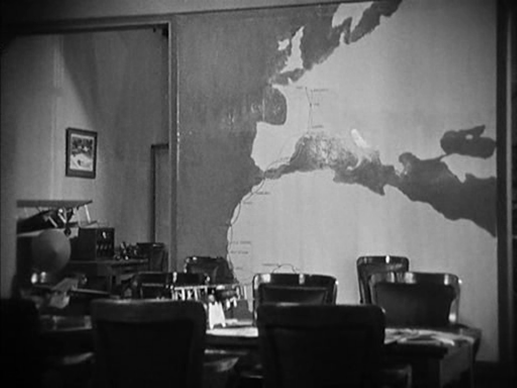  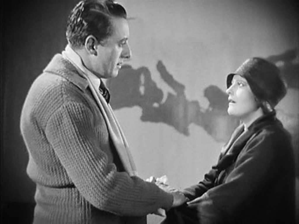 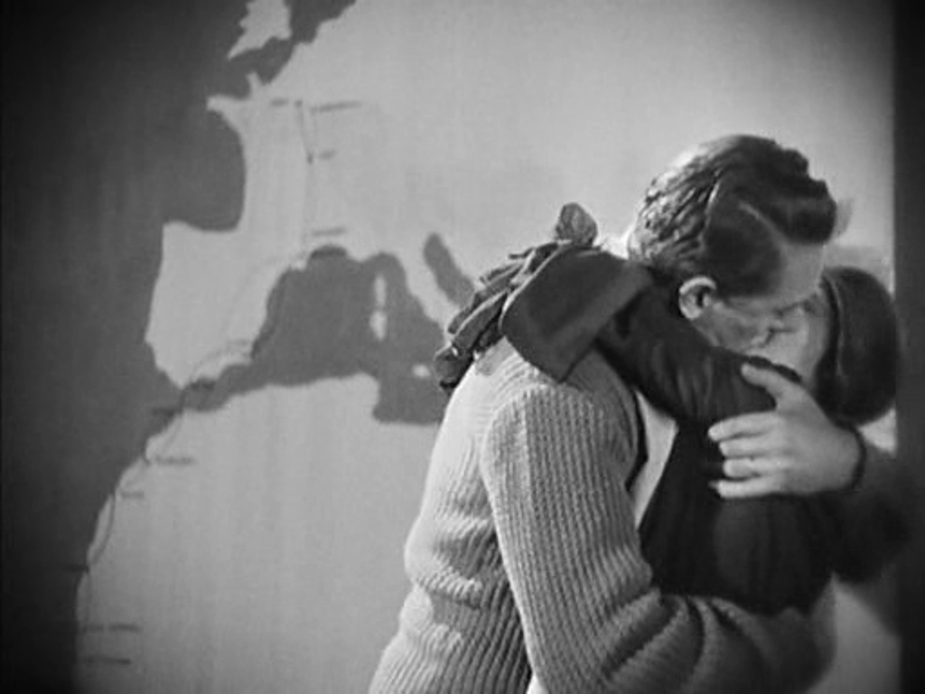 The most often shown space in the film is the banker Saccard's office, dominated by a map of the world. Against this backdrop we see Saccard manipulate markets on a global scale, we see him attempt to seduce Line, and finally we see him arrested for fraud. 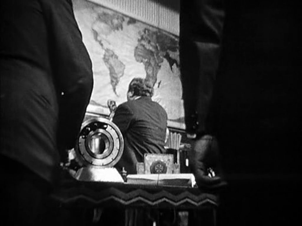  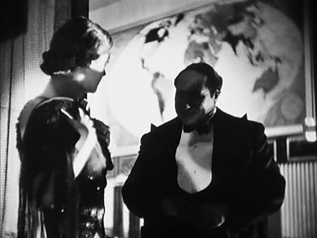 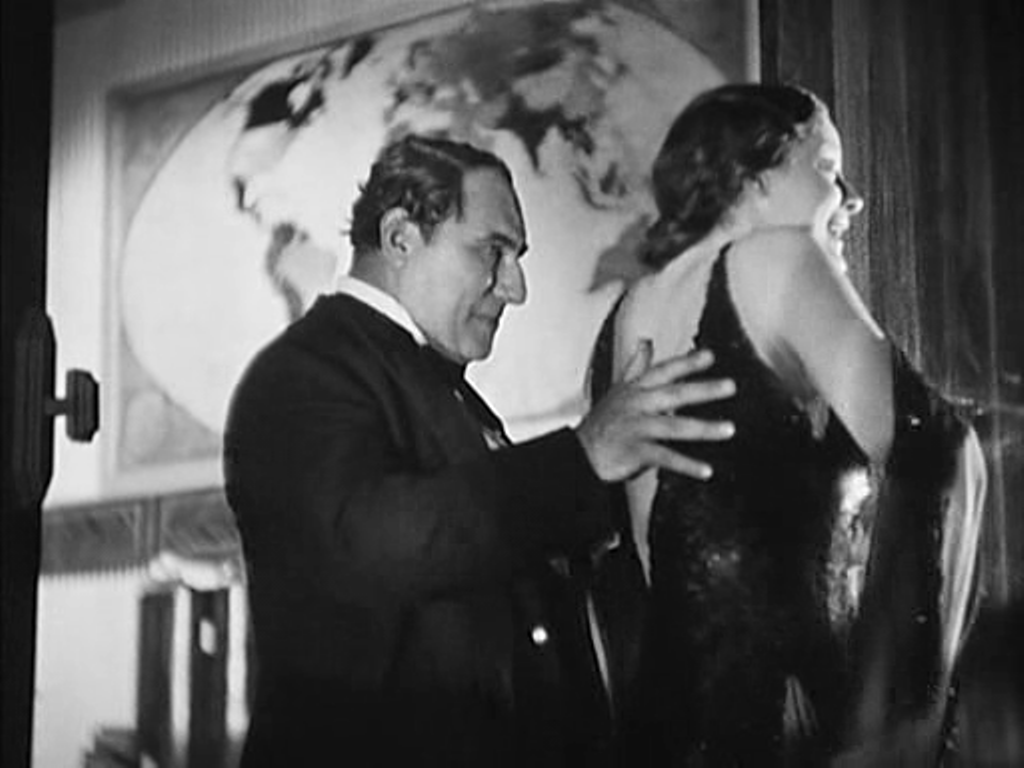 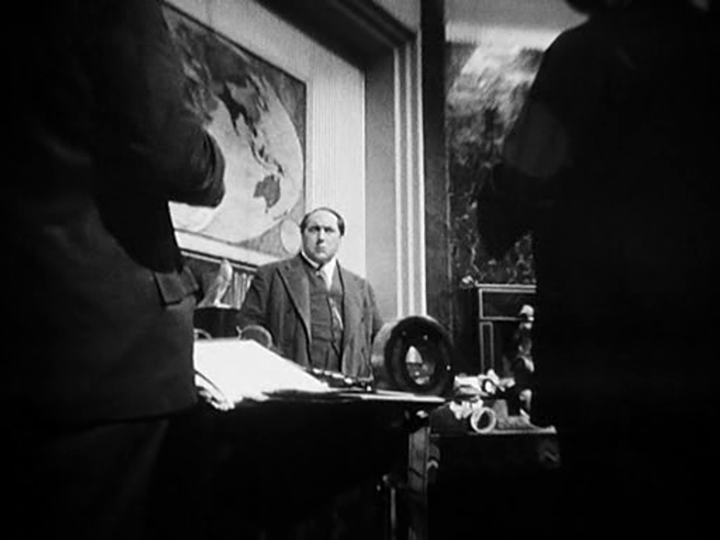  Prior to Saccard's arrest we see Hamelin in Guyana (here with Antonin Artaud as Saccard's secretary). A map on the wall serves as establishing decor, but it cannot compete with the cartographic spectacles on display back in Paris. 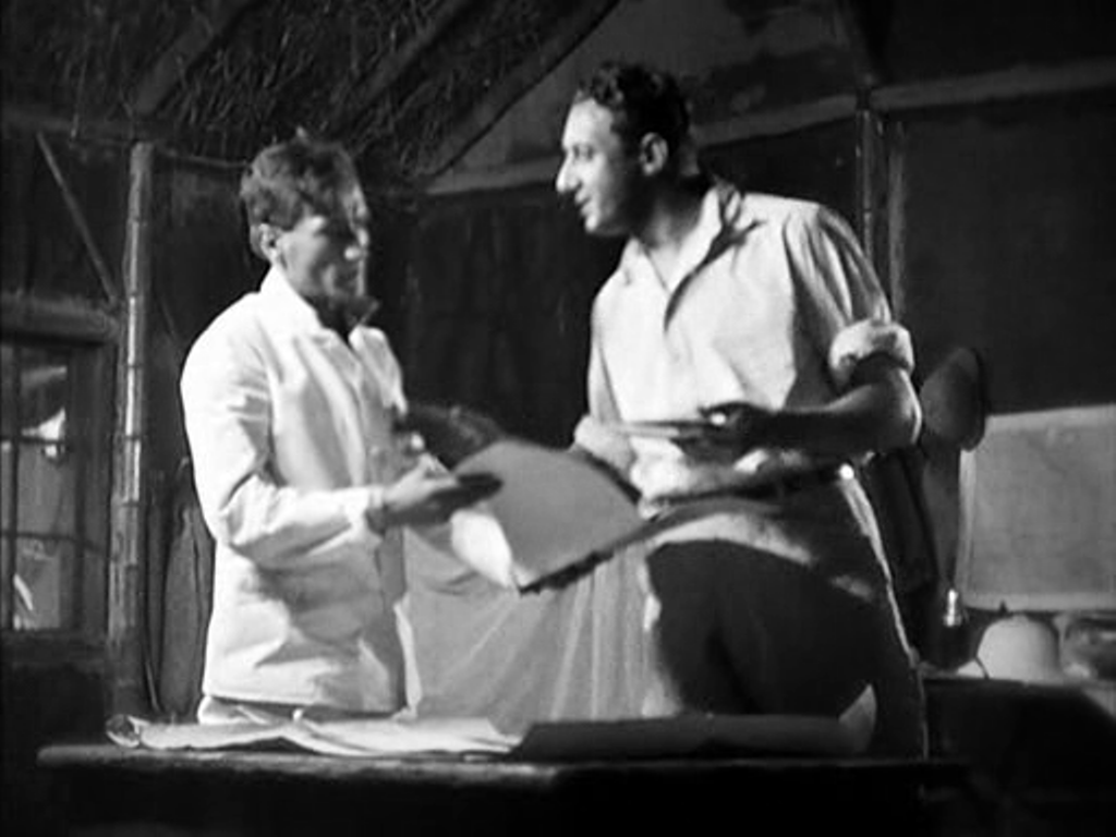 Hamelin returns to France and we see two policemen waiting to arrest him in the same room at the airport where he had kissed Line farewell. This time we see more of the cartographic decor, including the west coast of France:  The film's denouement involves Line approaching Gundermann, and we see again, in more detail, his spectacular antechamber:   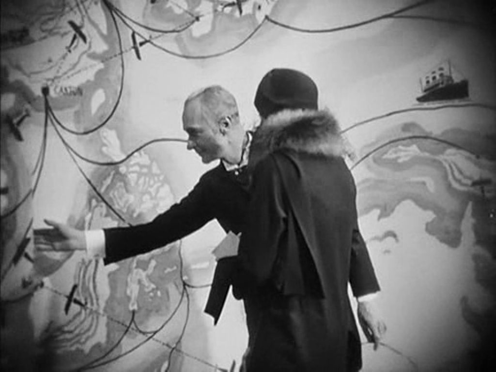 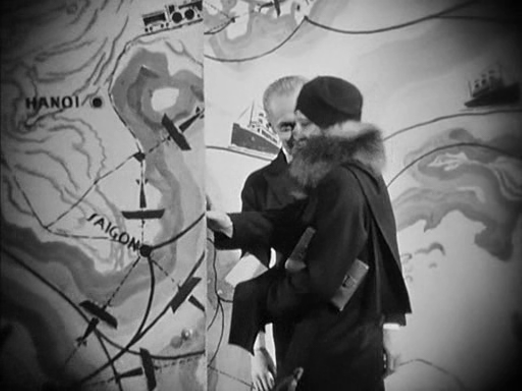 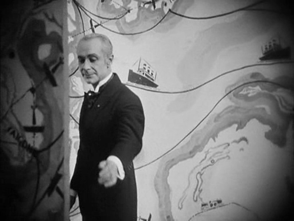 The decor of L'Argent is one of Lazare Meerson's finest achievements, especially in the cartographic configurations of this last, framing space.
 When, in 2011, I first posted about the maps in this film I said they appeared in only one scene. Seeing the film again this afternoon at the ICA, in a beautiful print, I spotted my mistake in not spotting the very large globe, above. Many thanks to The Badlands Collective for organising the screening, on the film's 40th birthday. 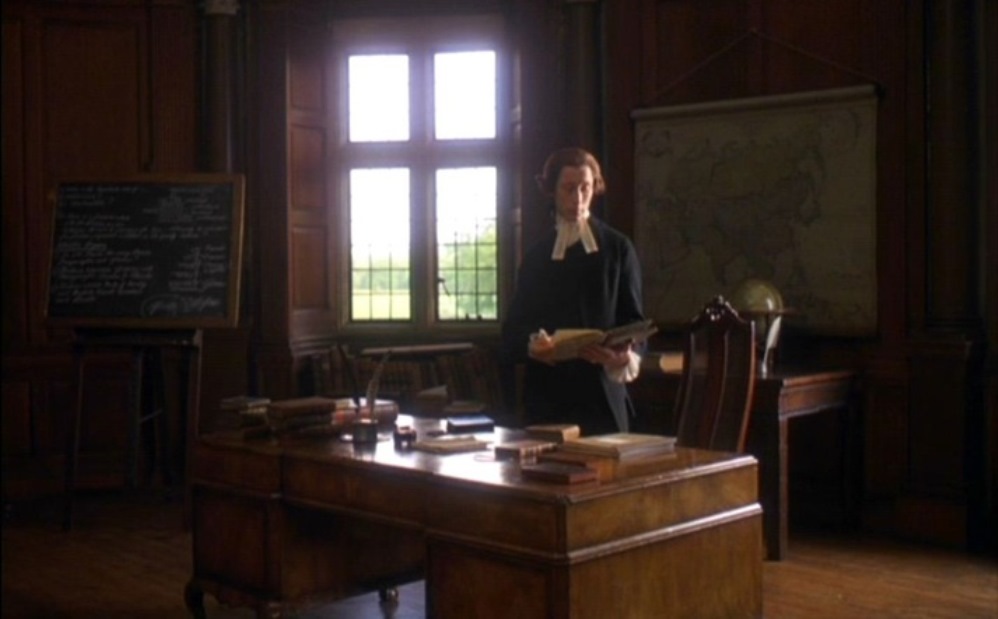 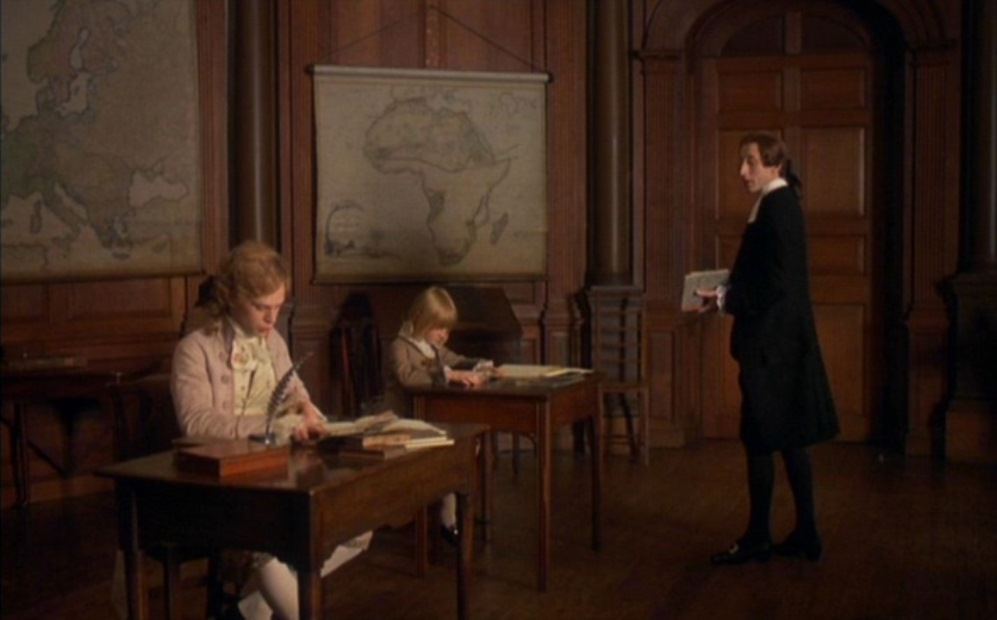 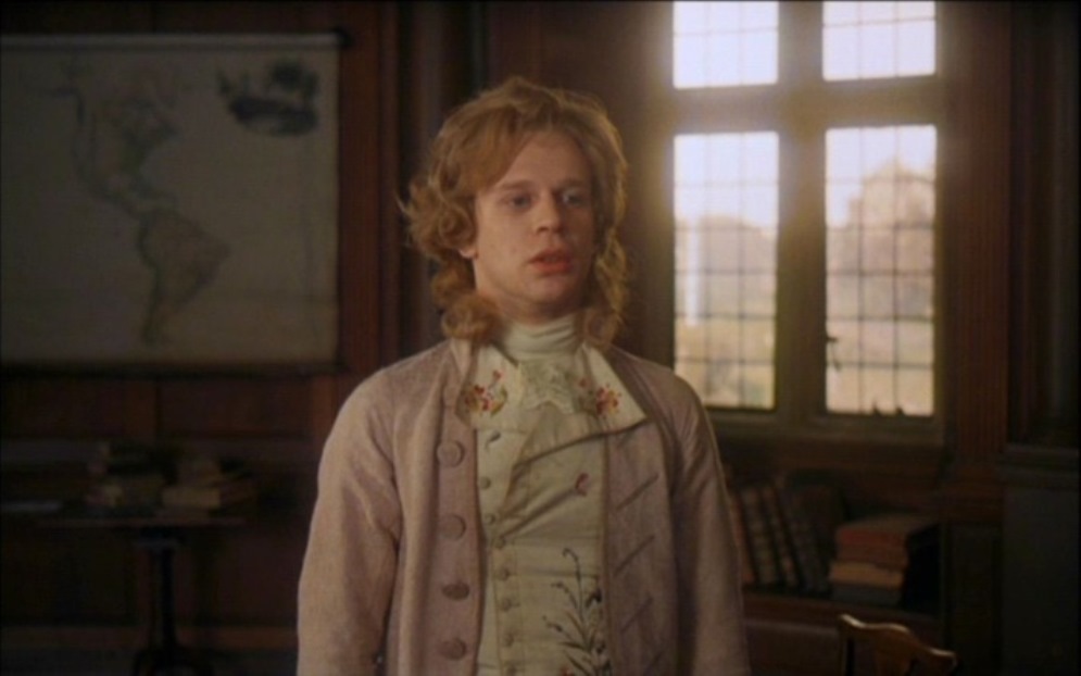 Maps appear in Barry Lyndon in only one scene, but they cover the known world, from Asia through Africa and Europe to the Americas. And there is a globe on the table in front of the first map.
 David Bordwell has read in detail the first map scene in There Will Be Blood (here), analysing the simple but powerful staging of this one-shot sequence: 'Many directors would have cut in to a close-up of the map, showing us the details of the layout, but that isn't important for what Anderson is interested in. The actual geography of Plainview's territorial imperative isn't explored much in the movie, which is more centrally about physical effort and commercial stratagems.' There are three more map scenes in the film, each of them as indifferent to the actual geography of that part of California, because Anderson isn't interested in the details of the layout, of course, but also because these would be real maps on which the fictional 'Little Boston, Isabella County' couldn't appear. The next map scene is Plainview's visit to a real estate office, a two-shot sequence in which there are three maps on the wall, differentiated in look but hardly readable in detail. A fourth map is brought out after Plainview asks Al Rose the pertinent question: 'Well, where's the map?' 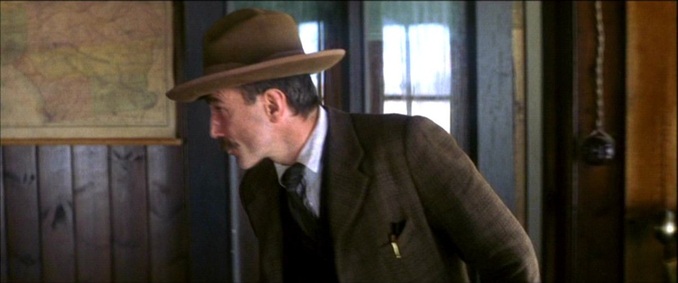 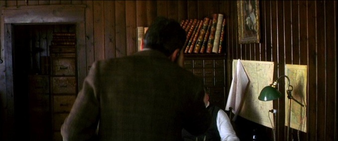 This map is discussed in detail, but no portion of it is shown: 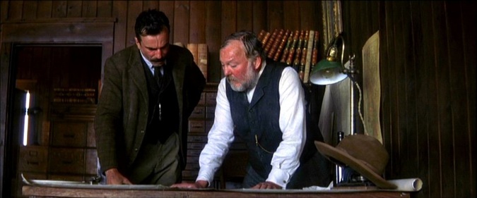 This scene is followed up later in a one-shot sequence where Plainview discusses the same area with Rose. This time the camera moves slowly in towards a closer framing of the table on which the map is placed. The map is distinctively coloured but still not readable:  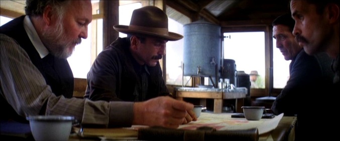 At the end of this shot the map is rolled up. Two earlier views of a rolled-up map, in Plainview's site office, serve as reminders of the territorial imperative, but also that we are not fixed on the actual territory: 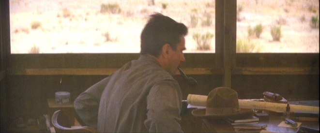 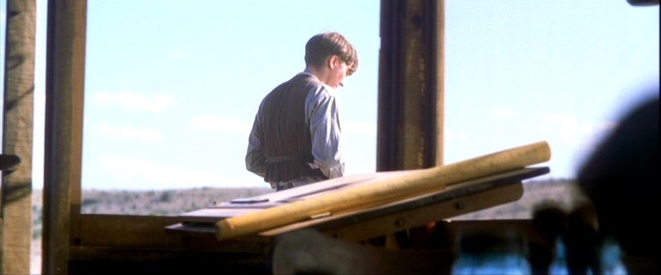 The last map scene offers a satisfying match of territory and map, not through actual geography, but in the repetition over a map of a gesture performed in the territory. First a wooden stake is hammered into the ground, signalling the route for the pipeline:  And then, at a meeting with his Union Oil associates, Plainview hammers a stake into the map, through the map and into the table on which it is spread: 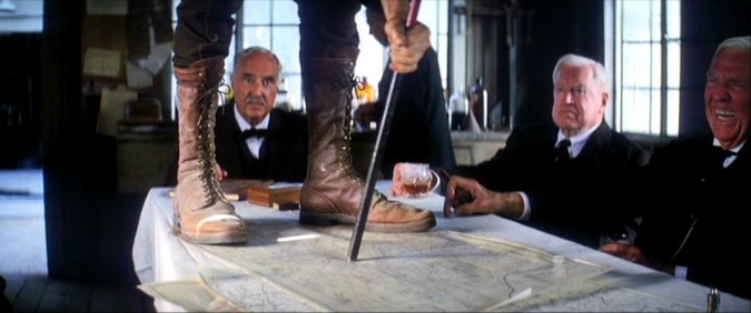 The film will run for another fifty minutes without being interested in maps again. A short dvd-bonus on the research that went into the film shows two maps consulted, and a period photograph of maps being used: 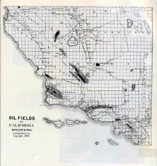 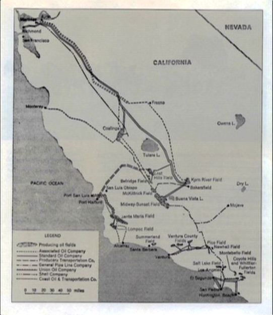 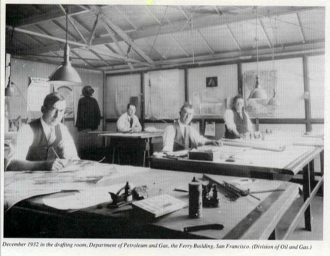 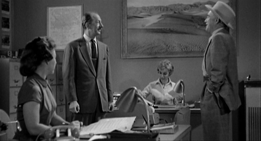 There are (I think) six maps in Psycho. Three are just part of the establishing decor. The first (above), in the office in Phoenix (it is probably a map of Phoenix), draws far less attention than the two large landscapes to the right of it. The second, in the office of the used car lot in Gorman, may not even be a map at all:  The third, in the corridor outside the office of the Chief of Police, in Fairvale, is no doubt supposed to represent that locale, but the map has no identifiable features:  The other three maps are more interesting. One is on the front page of the ‘Los Angeles Tribune’ which Marion buys in Gorman: 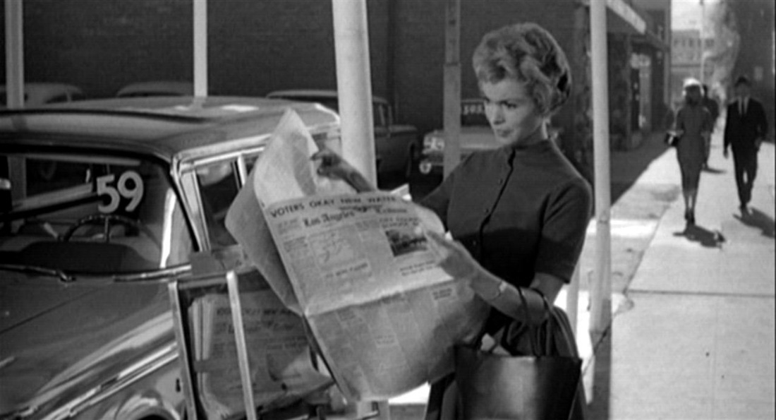 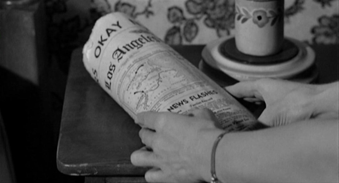 Though the lines of the map are distinct, I cannot identify the locale: possibly it relates to the headline concerning the establishment of a new water district in Los Angeles (though it appears to represent an eastern coastline). Since, anyway, the newspaper is a fictional construct, its headline and illustrations can have been assembled from very disparate sources. Our gaze is constantly returning to this map, not for its topographical interest but because Marion wraps the money in it. The next map is a globe, a familiar type (see the previous entry in this listing), and is here in a familiar setting, as an item in the bric-à-brac of Norman’s room. It signifies only the minimum that globes can signify when attention is not drawn to them by the film (merely pointing to a world beyond the film's locales): 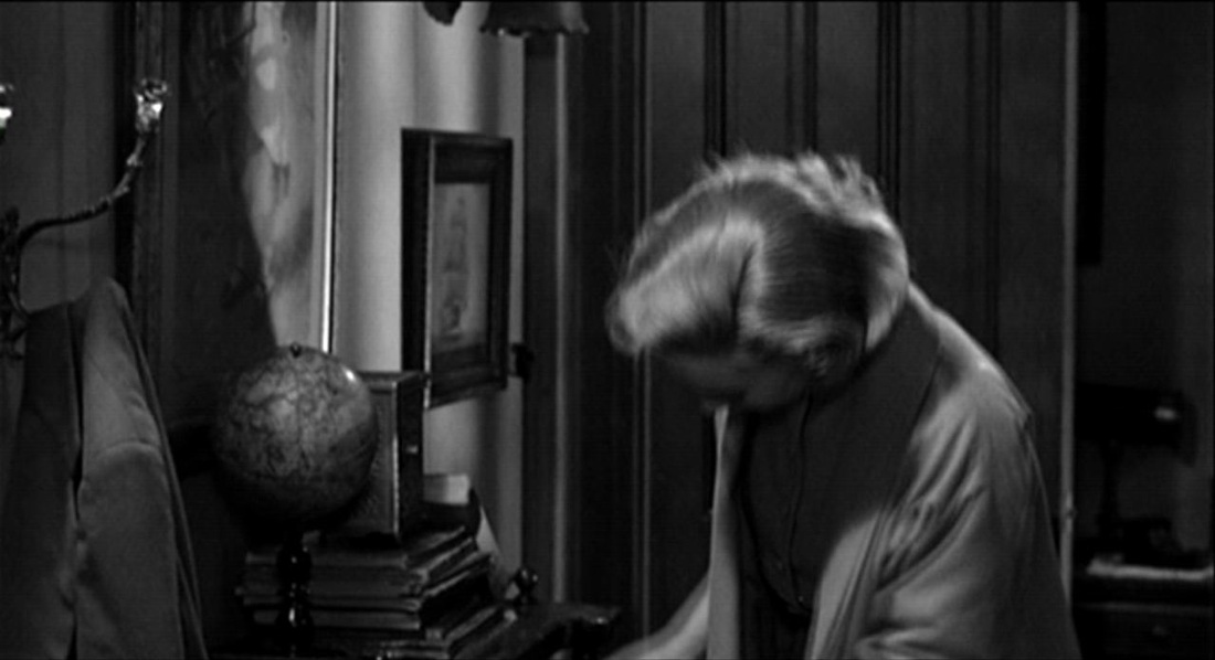 The last map is the most interesting. In the Police Chief’s office, the psychiatrist offers his explanation of Norman’s behaviour. He speaks for five minutes, and for almost all of that time he is standing in front of a map on the wall. There are occasional cuts away for questions and reactions from his audience, but mostly we are looking at the psychiatrist and a map: 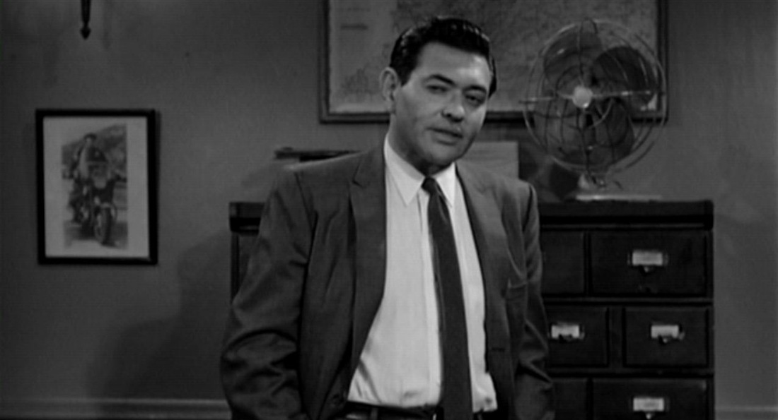 In The Moment of Psycho (2009), David Thomson identifies this as a map of Shasta County, northern California,and demonstrates that this is a feasible location for the town in which the film’s action comes to a close. Psycho has moved from Phoenix, a real place rendered with a panoramic view and identified in screentext: 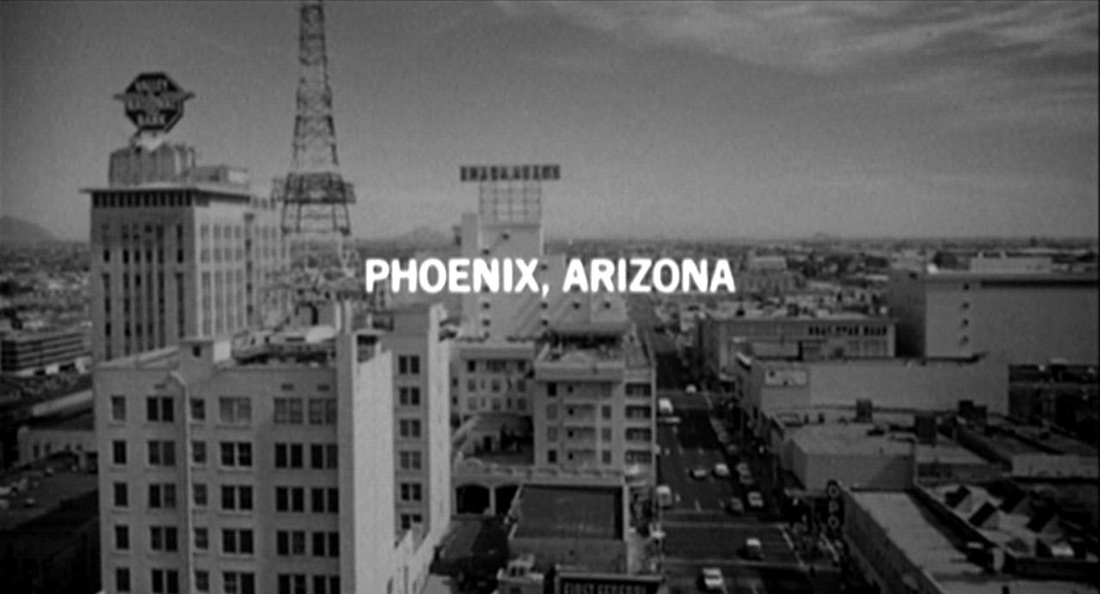 to ‘Fairvale’, a fiction confected on the studio lot. Though the map is not easily decipherable, it is peculiar that the film here undermines earlier efforts to detach the town from topographical reality, though perhaps only Shasta County residents would have recognised the place on the map from this closer detail:  Detachment from exact reality is the dominant note here. The film had began with chronological exactitude on Friday December 11th (1959): 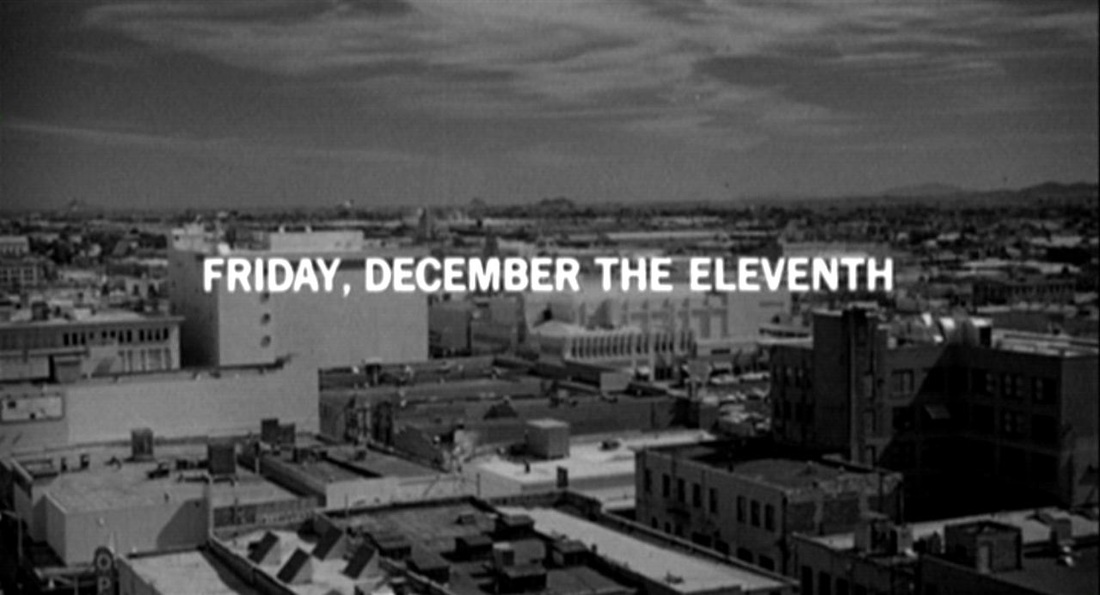  carrying over to the murder of Marion on Saturday the 12th. Arbogast’s investigation then stretches vaguely over the following week, until he is murdered on Saturday the 19th. Things come to a head on the Sunday, and the closing scene at the county courthouse seems to take place that evening. No dates are specified, but a calendar in the office reads ‘17’: 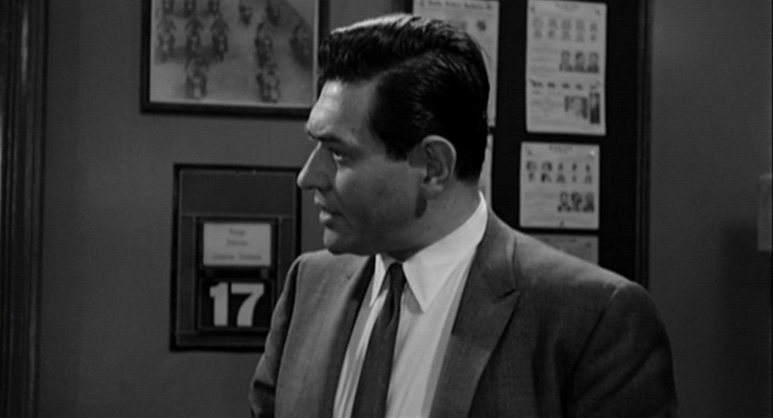 meaning either that the Police Chief's calendar has not been changed since the preceding Thursday, or that the film is no longer concerned with being exact ('It's tough keeping track of the time', had said Norman).
This would harmonise with the view (presented by David Thomson) that the ‘psychological explanation’ is itself at some remove from exact reality -- that Hitchcock was ‘pulling our leg’. |